Most Sydney walks can be neatly categorised by the environment they pass through: coastal walks, harbourside walks, bushwalks, city walks.
The walk between Sydney CBD and North Ryde is a little different.
It offers up a mixed bag of urban walking, harbourside walking (with a ferry ride thrown in), and bushwalking.
This route from Sydney CBD to North Ryde is the first 15 or so kilometres of the 250km Great North Walk between Sydney and Newcastle.
By making North Ryde the end point of this day walk, you end up with a manageable day walk distance that is serviced by public transport at either end.
This day walk is ideal when you want a different sort of adventure. One that delivers variety, from harbour views to heritage buildings, and riverside bushwalking through national park.
| Distance: | 16km |
| Start: | Sydney near Circular Quay |
| End: | North Ryde |
| Public Transport: | Ferry, train, light rail at Circular Quay Metro at North Ryde |
| Water: | Near MCA and near Ferry Wharf 2, Circular Quay (map) Valentia St near Woolwich Wharf Buffalo Creek Reserve Magdala Park |
| Toilets: | Circular Quay Train Station Buffalo Creek Reserve Magdala Park North Ryde Station |
| Top Tip: | Don’t forget your Opal card, this walk includes a ferry ride across Sydney Harbour from Circular Quay to Woolwich. |
Sydney to North Ryde Walk Overview
The walk between Sydney CBD and North Ryde covers the first 16km or so of the Great North Walk.
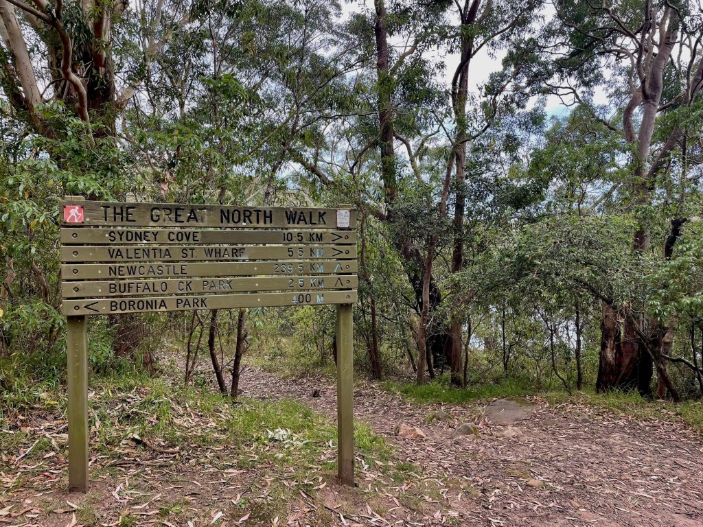
This point-to-point walk is well served by public transport at either end and at several places along the route.
The track from Sydney CBD to North Ryde begins at Macquarie Place near Circular Quay, crosses the harbour, passes through residential neighbourhoods at Woolwich and Hunters Hill, and then through bushland in Lane Cove National Park.
If you wanted to extend your walk, you could continue on alongside Lane Cove River instead of leaving the track near the office buildings at North Ryde. The track continues all the way through Lane Cove National Park, and ultimately, as part of the Great North Walk, through to Newcastle.
When ending your day walk at North Ryde, you might also like to return another day to pick up where you left off from. The next section of the Great North Walk that you can complete as a day walk is North Ryde through to Thornleigh.
Maps & Navigation
The walk from Sydney CBD to North Ryde does have some waymarkers and signs to show the route though both the residential areas and in the bushland.
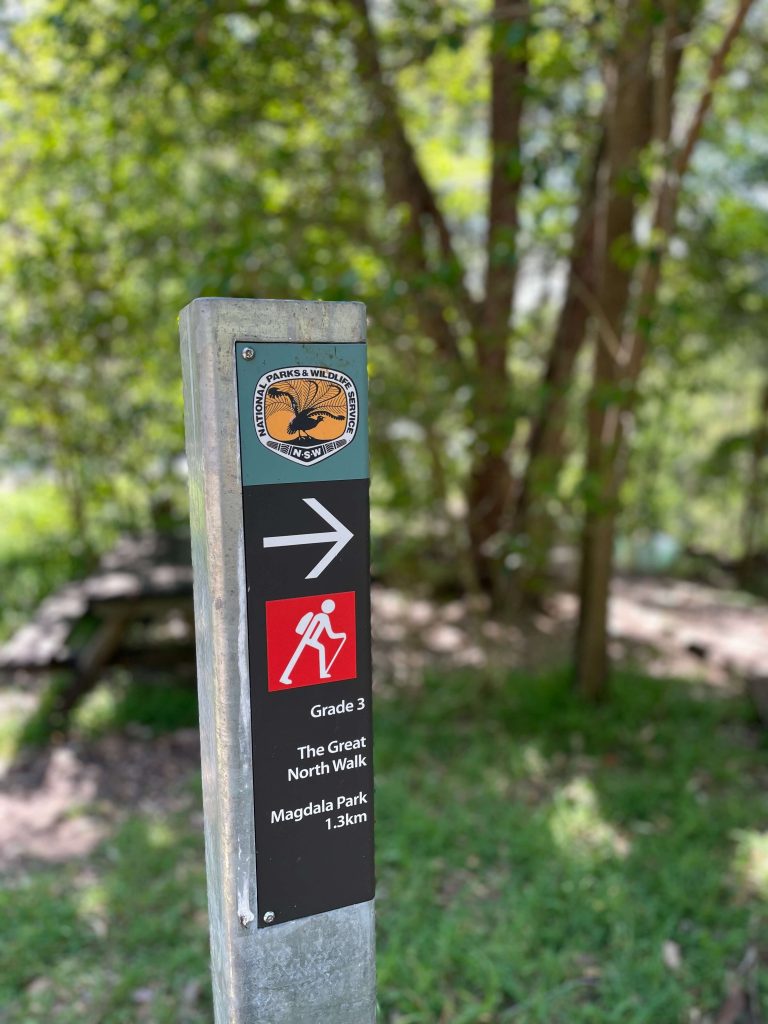
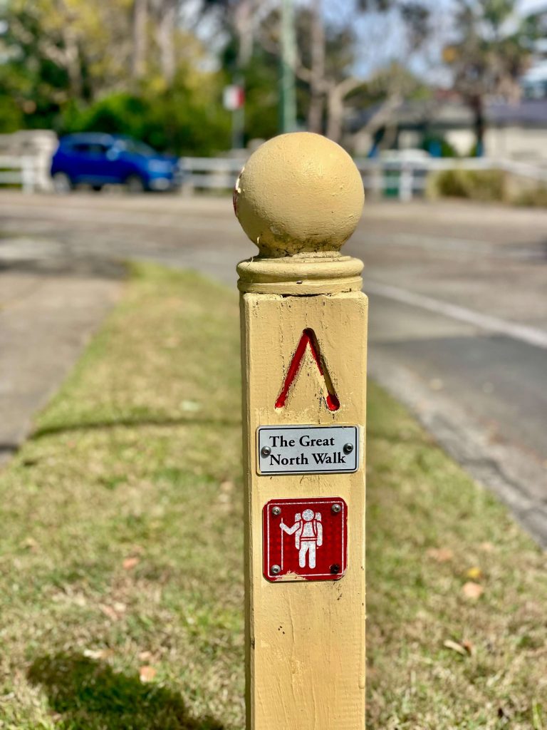
For a map you can walk with, add the Great North Walk Sydney to Thornleigh section to the All Trails app on your phone. You can also consult the short walks on Great North Walk website and guidebook.
Tip: The last three instructions in this Wild Walks guide are helpful to locate the exit point of this walk near the Honeywell building in North Ryde. Because the track continues alongside the Lane Cove River through to Thornleigh and beyond, you do need to pay close attention to locate the point you’ll leave the track when finishing up at North Ryde.
How to get to the walk
Public Transport
The walk from central Sydney to North Ryde represents the first 16 kilometres of the Great North Walk between Sydney and Newcastle.
The walk officially starts at the obelisk at Macquarie Place, just a few blocks from Circular Quay. That means you have your pick of public transport with buses, trains, light rail, and ferries all stopping close by.
The walk from Sydney CBD to North Ryde finishes by leaving the trail at a section of Lane Cove National Park at Richardson Pl near the Honeywell building. From there, it’s a 1km walk up Dehli Rd to North Ryde Station where train and metro services are available.
Driving
If you’re hiking with a few people and have a couple of cars available, you could arrange a car shuffle if you’re set on driving. But this Sydney walk really is much easier to get to and from with the tap of a Opal card.
Facilities
The walk from Sydney CBD to North Ryde passes through the city and residential areas as well as parks, which means many facilities are available.
Cafes and shops can be found at both the starting point in central Sydney as well as when the track passes through Hunters Hill.
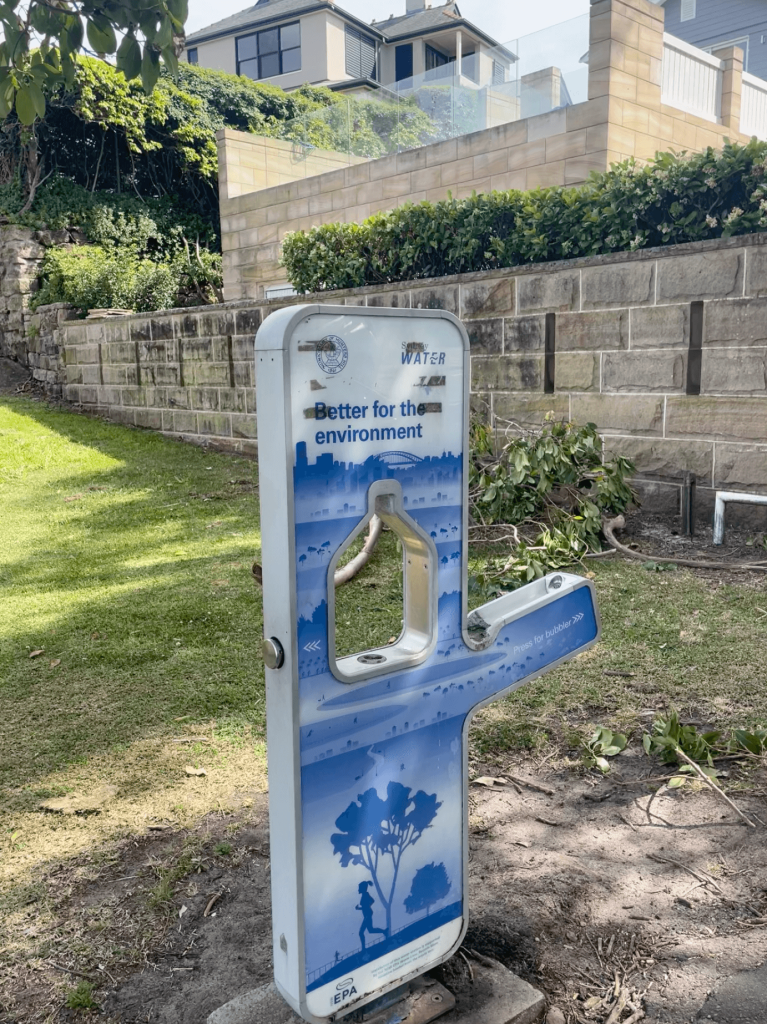
Toilets and drinking water are available at multiple locations including the train stations at the start and end of the walk, as well as at several public parks along the way.
Cafes
Hunters Hill is a good spot to take a break if you’d like the option to buy refreshments at a cafe during your walk. The walk passes by the Garibaldi Village Square on Alexandra St.
Drinking Water
Drinking water is available at several locations on the Sydney to North Ryde section of the Great North Walk, including at the following locations:
Toilets
There are public toilets at the train stations and several parks on the walk from Sydney to North Ryde, including at the following locations:
Sydney to North Ryde Highlights
Obelisk of Distances in Macquarie Place
This walk starts in Sydney’s original town square, Macquarie Place.
At Macquarie Place you’ll find a sandstone obelisk that was constructed in 1818, and used as the point from which to measure road distances across NSW.
From Macquarie Place you’ll make your way down Loftus St to Circular Quay.
Ferry to Woolwich
At Circular Quay your walk becomes a ferry ride. You can check the timetable for the ferry from Circular Quay to Woolwich ahead of time by using Trip Planner or the TripView app.
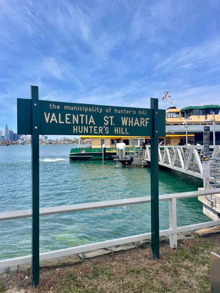
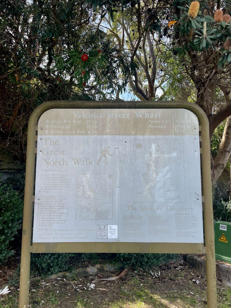
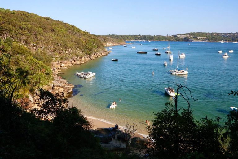
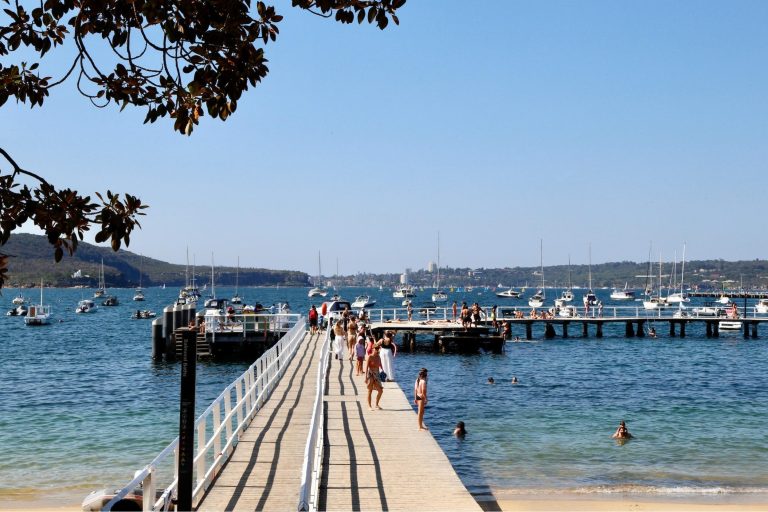
The ferry across Sydney Harbour takes around 25 minutes, stopping at Balmain, Birchgrove, and Greenwich Point before reaching Woolwich.
Kelly’s Bush
A highlight of the walk from Sydney CBD to North Ryde is Kelly’s Bush.
In the late 1960s, a developer had its sights set on turning this harbourside bushland into multi-storey blocks of units. When the local council turned its back on the community to side with the developer, a group of local women, who came to be known as The Battlers, took on the fight.
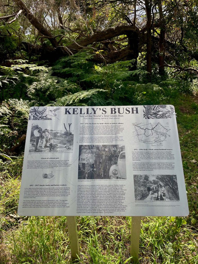
They rallied their community and lobbied politicians, and in the move that delivered a knock out punch to the development plans, The Battlers sought support from the unions including the NSW Builders Labourers’ Federation (BLF) who, at the request of the concerned local residents, implemented the first ever Green Ban on the site.
Today we get to enjoy this bushland thanks to the efforts of The Battlers for Kelly’s Bush and the BLF.
Hunters Hill
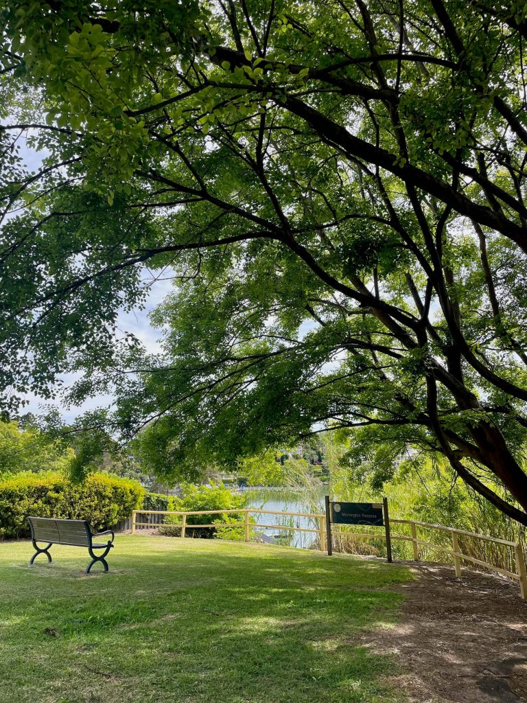
Leaving Kelly’s Bush, the walk continues through the residential streets of Hunters Hill. You’ll find a scenic place to stop and rest at Mornington Reserve which overlooks the Lane Cove River near Vernon St.
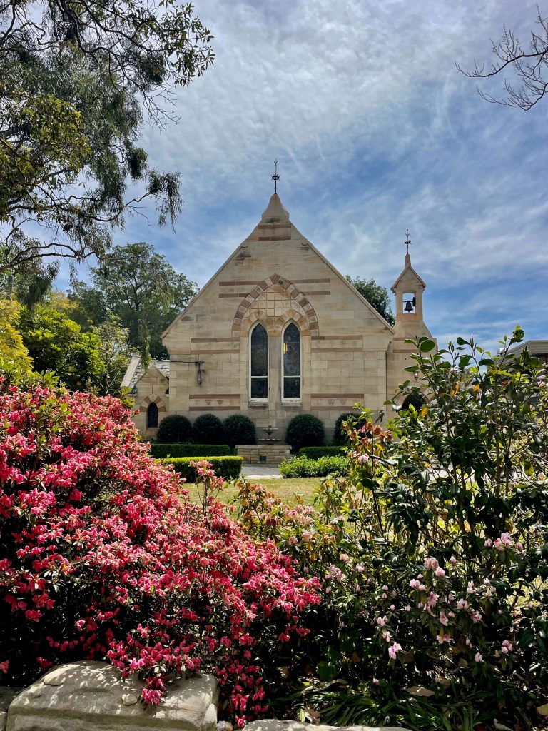
As you continue through the streets of Hunters Hill you may notice plaques in the footpath noting landmarks that comprise the Hunters Hill Heritage Walk. There’s the sandstone St Peter Chanel church of 1890, the two storey Passy residence of 1856, the Vienna stone cottage of 1871, and the Town Hall of 1866 to name a few.
If you fancy a coffee or a cafe lunch, the shops on the corner of Alexandra St are your best bet.
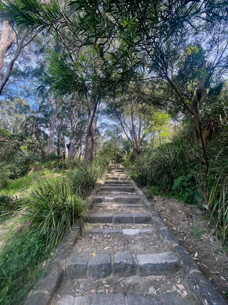
The walk soon heads down to a path along the edge of the Lane Cove River.
Lane Cove River Bushland
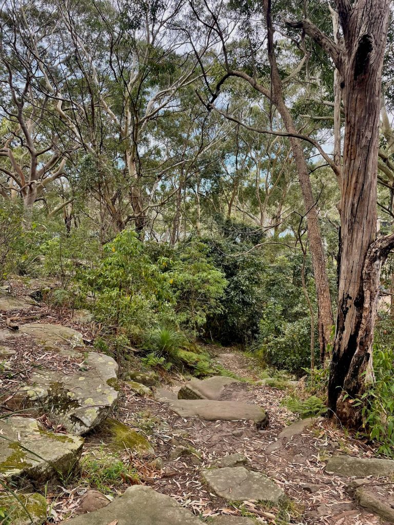
The walk skirts the edge of Boronia Park, and you’ll have a view of the Lane Cove River as you make your way through the bushland.
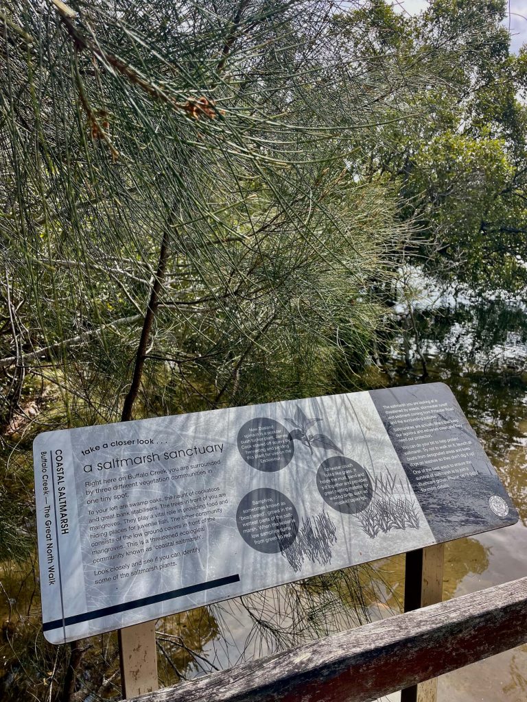
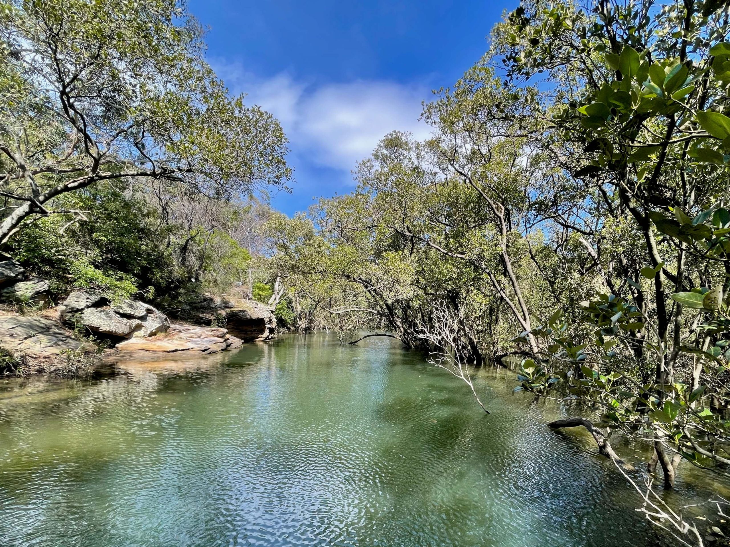
Soon you’ll come to Buffalo Creek with its coastal saltmarsh.
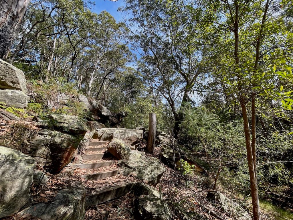
Continuing onward you’ll reach Buffalo Creek Reserve which has a toilet block and a drinking water fountain where you can fill your water bottles. When you rejoin the track you’ll find yourself on a section of boardwalk over mangroves.
When you reach Magdala Park you’ll be 15km from your starting point at Sydney Cove and just shy of your end point for the day.
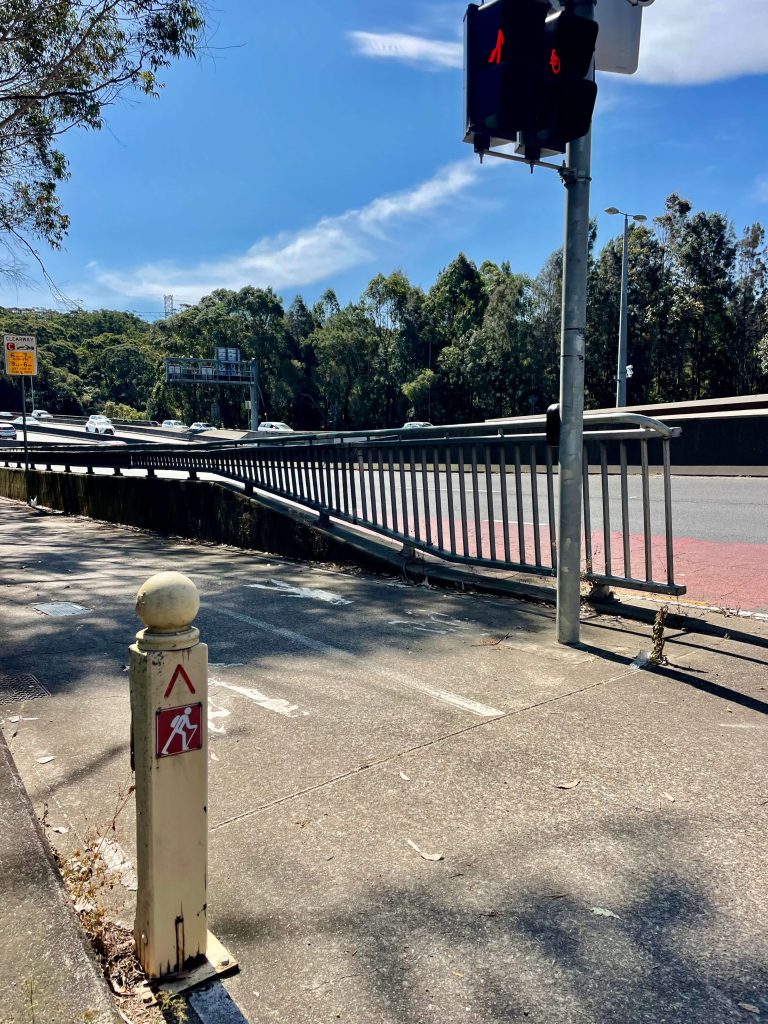
The track leaves Magdala Park behind as you head onto a pedestrian bridge to cross the river. And it’s only a few minutes before before you find yourself on the footpath of another bridge to head back across the river.
This bridge is probably the lowlight of the walk, given how busy the adjacent roadway is. But you’re only on the bridge for a short time before you take a set of stairs to drop back down into bushland alongside the river.
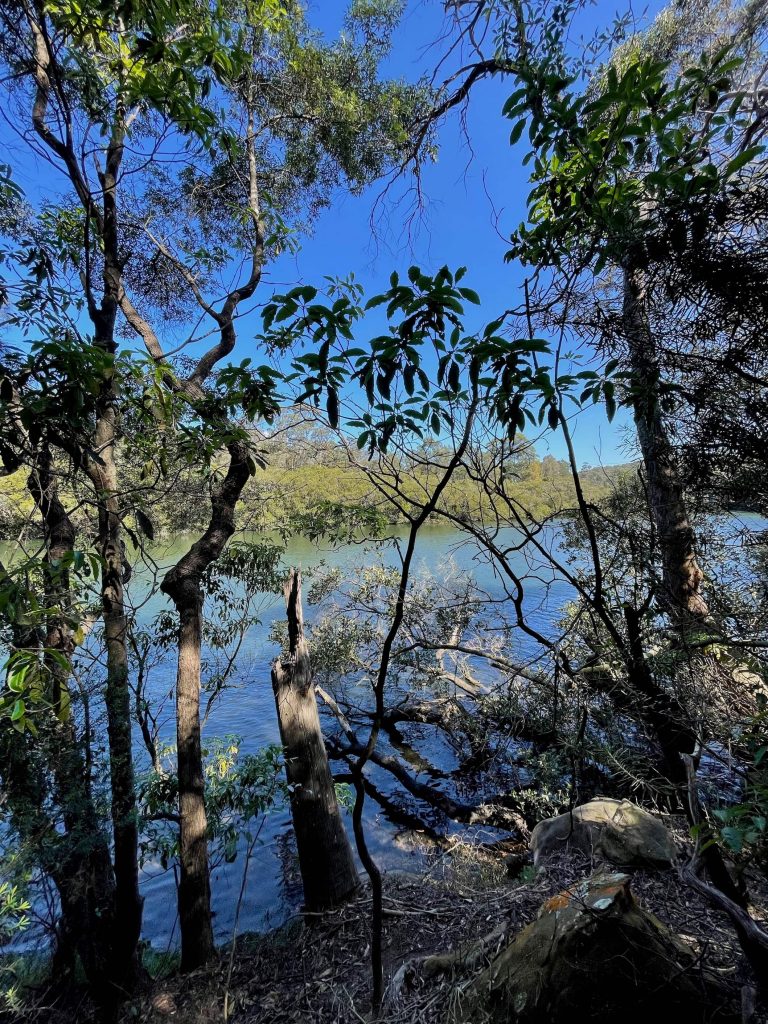
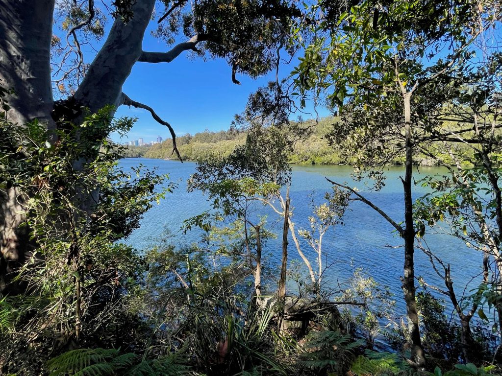
You’ll enjoy a last look at the view of the Lane Cove River before bidding the riverside track farewell. The end point of the Sydney CBD to North Ryde walk will see you heading into the bush to come out behind the Honeywell office on Richardson Pl.
It can be a little tricky to spot the exit detour, so here’s a couple of tips… 1) the instructions at the end of this walk guide are helpful, and 2) if you find yourself at the old site of the Fairyland Pleasure Grounds, you’ve gone too far.
When you make it out on to Richardson Pl, it’s an approximately 1km walk up Dehli Rd to North Ryde station where you can take the metro back to the city.
And with that, you’ve conquered the start of the Great North Walk. Only another 230 odd kilometres to go!


3 Comments