For almost two decades Sydneysiders have come to a pocket of the city’s inner south west to walk the Two Valley Trail, following alongside two waterways: the Cooks River and Wolli Creek.
Established in 2008, the Two Valley Trail is a 13km walk between Campsie and Bexley North that traverses the parkland reserves surrounding the Cooks River and the urban bushland alongside Wolli Creek.
From paved pathways through parks to fern-lined dirt track through the bush, the Two Valley Trail offers an escape from the city without having to leave the city. This Sydney walk is well-served by public transport with train stations at either end and various points along the way, making for a fun and easy day out.
| Distance: | 13km |
| Start: | Campsie (or Bexley North) |
| End: | Bexley North (or Campsie) |
| Public Transport: | Train at Campsie Train at Bexley North |
| Water: | Various throughout the walk |
| Toilets: | Various throughout the walk |
| Top Tip: | Pack lunch and enjoy a picnic stop alongside the Cooks River during your walk. |
Two Valley Trail Walk Overview
The Two Valley Trail is a walk that follows the Cooks River and Wolli Creek between Campsie and Bexley North. You can walk the track in either direction (though the description in this guide is for a walk starting at Campsie and ending at Bexley North).
This Sydney walk is easily accessible by public transport with plenty of opportunities to join and leave the track at various points along its length, if you’d prefer not to walk the full 13km.
This is a walk that can be characterised in two parts: the first being the stretch alongside the Cooks River, and the second, from Tempe where the river meets Wolli Creek and the trail loops up into the bushland of Wolli Creek Regional Park.
Track Notes
The walk starts out at Campsie Station where you’ll follow Beamish Street to meet the Cooks River. You’ll cross Byron Street Bridge to put the Cooks River on your right and begin following the paved riverside path. The first road crossing you’ll come to is Brighton Avenue, across from Croydon Park. There’s a place to cross with an island in the centre of the road, so you can cross half way at a time between the traffic.
You’ll continue walking with the Cooks River on your right for sometime, until you reach Lang Road Bridge which you’ll cross before following Lang Road to Wardell Road and crossing (there’s a pedestrian crossing) into Beaman Park where you’ll follow the paved walking track to the left, putting the Cooks River also on your left. Continue following the riverside path, keeping the Cooks River on your left. When you reach Illawarra Road, you’ll cross the road and rejoin the paved path with the Cooks River still on your left.
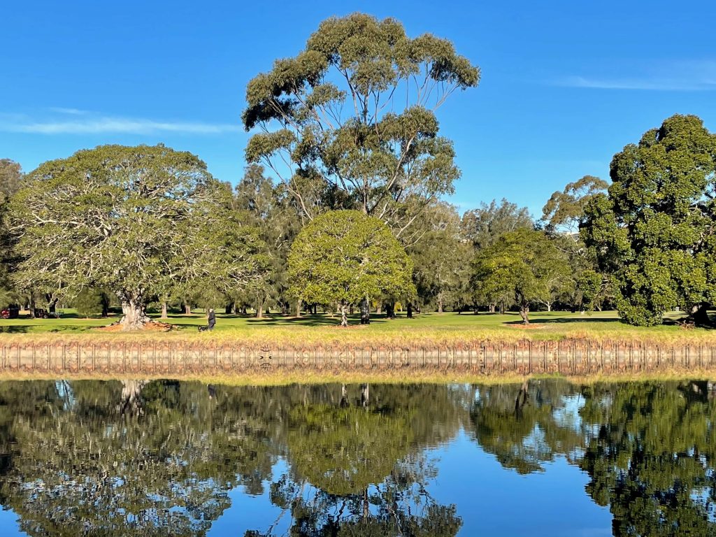
After passing through Gough Whitlam Park you’ll cross the road at Bayview Avenue and continue following the Cooks River into Waterworth Park. It is here, with a view of the railway crossing the river between Tempe and Wolli Creek Stations, that the Cooks River meets Wolli Creek.
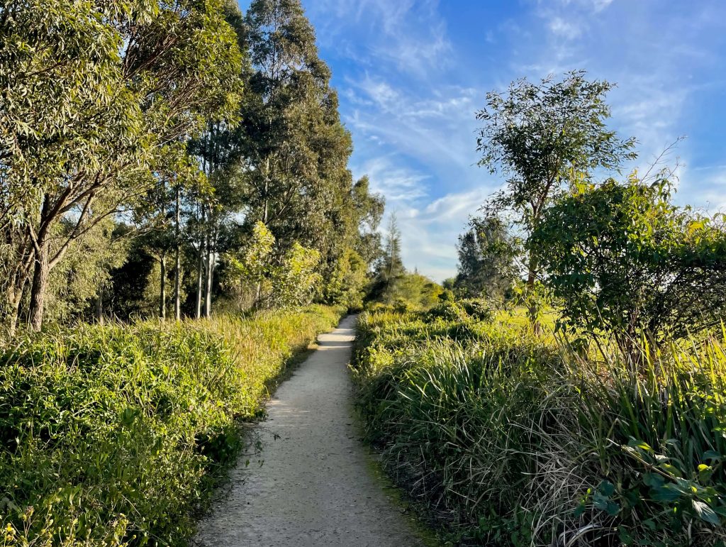
You’ll continue to follow the paved path and now on your left is Wolli Creek. You’re into the second ‘valley’ of the Two Valley Trail. It’s on this section of the track that you’ll start seeing ‘Two Valley Trail’ and ‘TWT’ signposts.
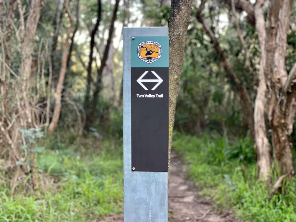
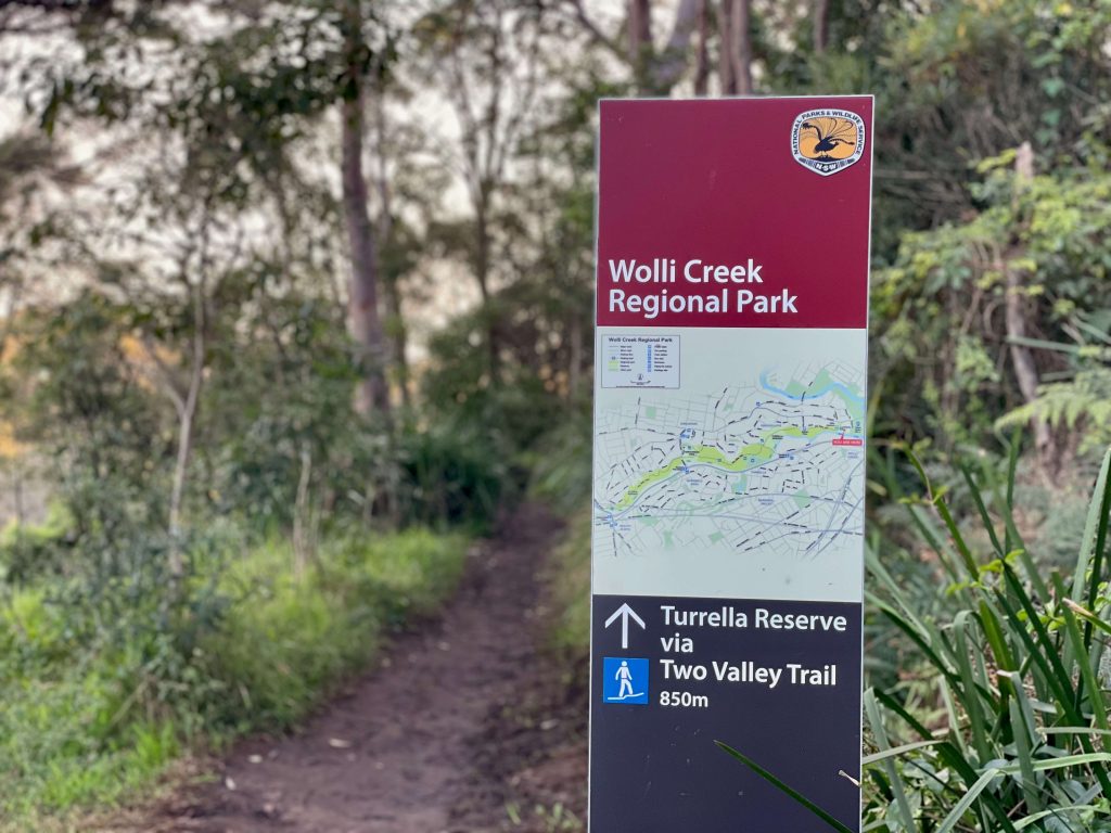
Here the paved path becomes dirt, and the track narrows. At the end of the park, continue on the footpath up Unwin Street, at the end of the street you’ll see a signpost at the entry to Wolli Creek Regional Park. Follow the bush track through until you reach the end of Jackson Place where you’ll follow the road, past the stone cottages, before re-entering the bushland (entry on the left near where Jackson Place meets Highcliff Road). You’ll follow the bush track again for a short way before coming to the expansive Turella Reserve which has a playground, water refill station, shaded picnic tables, and toilets. Look for the Wolli Creek Regional Park sign beyond the amenities and follow it into the bushland once more.
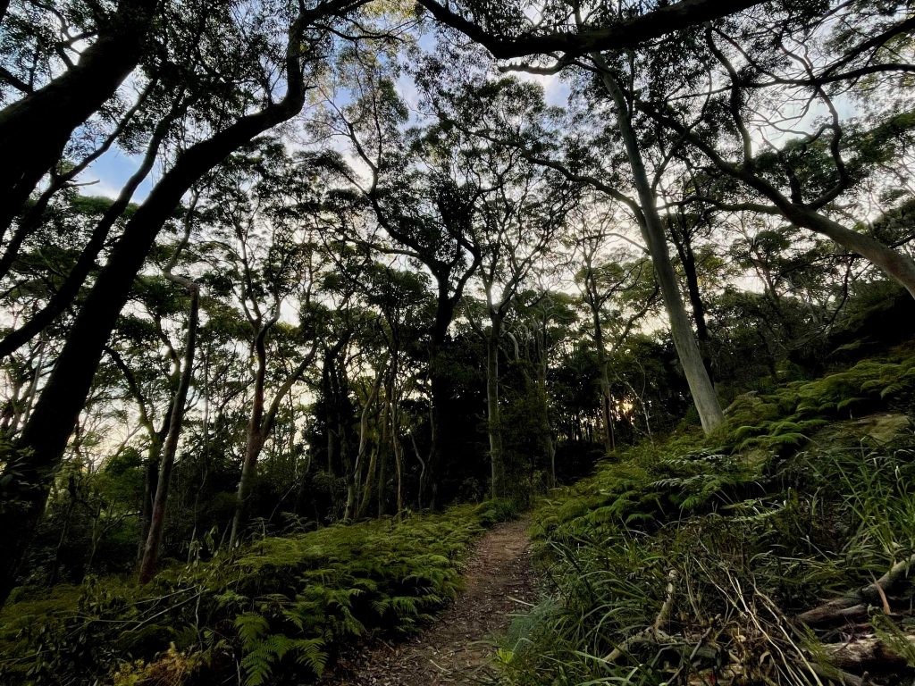
This section of the track is bushland so expect uneven natural surface, rocks, tree roots, and fern-lined paths. You’ll enjoy a few spots with pretty vantage points overlooking Wolli Creek, and you might also spot rock-climbers scaling the crags. Continuing on keeping the creek on your left, you’ll cross Girrahween Park before coming to Hartwill-Law Avenue (take care crossing here). Head along Bray Avenue and then veer left onto the wide grassy path where you’ll spot some cordoned off plants with signposts from the volunteers that look after this section of the track. Look for the sign marked towards Illoura Reserve and carry on.
Losing light and not familiar with the track, I skirted around the final few hundred metres of bushland instead taking Johnson Street and then left down a paved pedestrian path between some houses to connect up with the busy Bexley Road.
At this point you’re at the end of the walk and a stone’s throw from Bexley North Train Station. If you’re keen for a feed, there’s various restaurants and takeaways including Thai, Indian, and pizza, and there’s a Woolworths Metro too.
Two Valley Trail Walk Map
The Google Map below tracks the Two Valley Trail from Campsie Station to Bexley North Station based on the original route as published on the Wolli Creek Preservation Society website.
Facilities
The Two Valley Trail is an urban walk that benefits from its proximity to parks and nearby main streets. There are drinking water fountains and public toilets in many of the parks the track passes, particularly on the Cooks River section of the trail. The walk also passes through various Sydney suburbs and the track is within easy walking distance of cafes, restaurants, and shops.
Shops & Cafes
This is one Sydney walk you could happily set out on with little more than a drink bottle to refill along the way. When it comes to snacks or lunch, there’s plenty of opportunity on the Cooks River side to stock up.
If you find yourself setting out from Campsie Train Station, your first opportunity is Beamish Street with its veritable variety of shops and restaurants. Not far into your walk, if you need a supermarket stop you’ll find Woolworths Canterbury near the track via the Robert Street stairs. If you get to the Illawarra Road crossing before 2:30pm, you can pop into Ol’ Mates sandwich shop to grab takeaway to enjoy down by the river. You’ll also find lots of restaurant and takeaway food at the end of the walk near Bexley North Station (including Thai, Indian, and pizza) and a Woolworths Metro supermarket.
If you’re willing to detour a little further off-track, you’ll find plenty more options for cafes and shops along the Two Valley Trail.
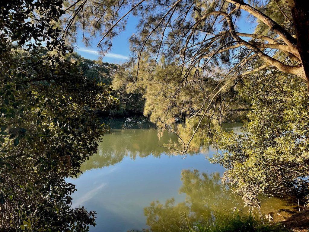
Drinking Water
Drinking water fountains are located alongside the Two Valley Trail in various locations including:
Toilets
There are public toilets close to the Two Valley Trail in various locations including:
How to get to the Two Valley Trail Walk
The Two Valley Trail walk is best accessed by public transport. You’ll begin at Campsie Train Station on Beamish Street and the end of the walk is by Bexley North Train Station.
Two Valley Trail Highlights
There’s many highlights along the Two Valley Trail including the Cooks River, Boat Harbour, public art in Ewen Park, the stone cottages on Jackson Place, and the bushland of Wolli Creek Regional Park.
Cooks River
The Cooks River is a 23km long urban river that passes through Strathfield, Campsie, Croydon Park, Canterbury, Hurlstone Park, Earlwood, Marrickville, Tempe, Wolli Creek, Kyeemagh, and out into Botany Bay. While the Cooks River has been a polluted and neglected waterway, there are various initiatives and action groups working to enhance and restore the river and its foreshore.
The Cooks River Cycleway is an 8km path established in 1977 that has encouraged recreation along the river corridor for decades. On any given day, walker, runners, and cyclists make their way along the paved shared path that follows the river. Shaded benches, playgrounds, and picnic areas provide much needed green space in the densely populated suburbs along the river’s path.
And organisations including the Cooks River Alliance, Cooks River Valley Association, and The Mudcrabs work to ensure a healthy future for the Cooks River.
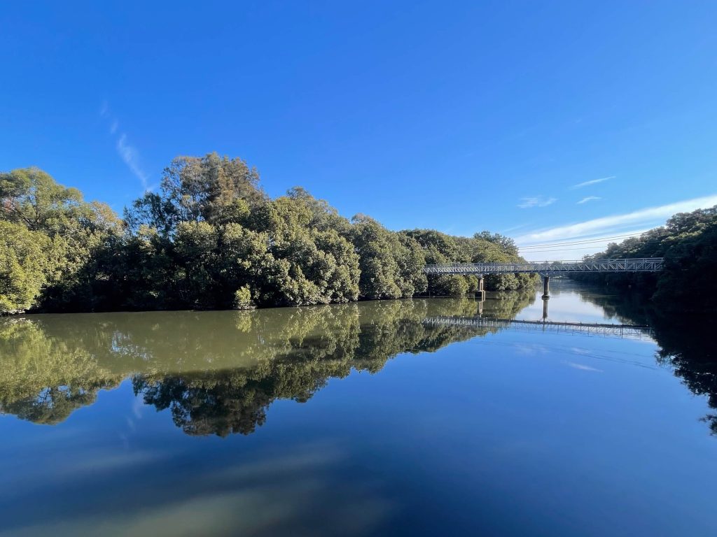
Boat Harbour
A scenic spot on the Cooks River near the old sugar works, the boat harbour was built in the 1960s.
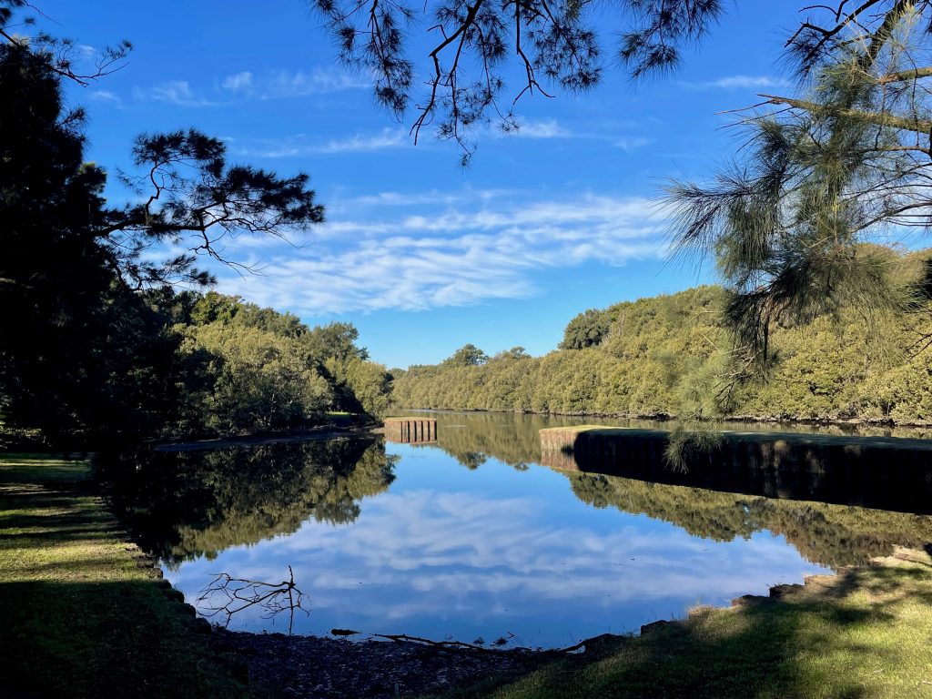
Public Art
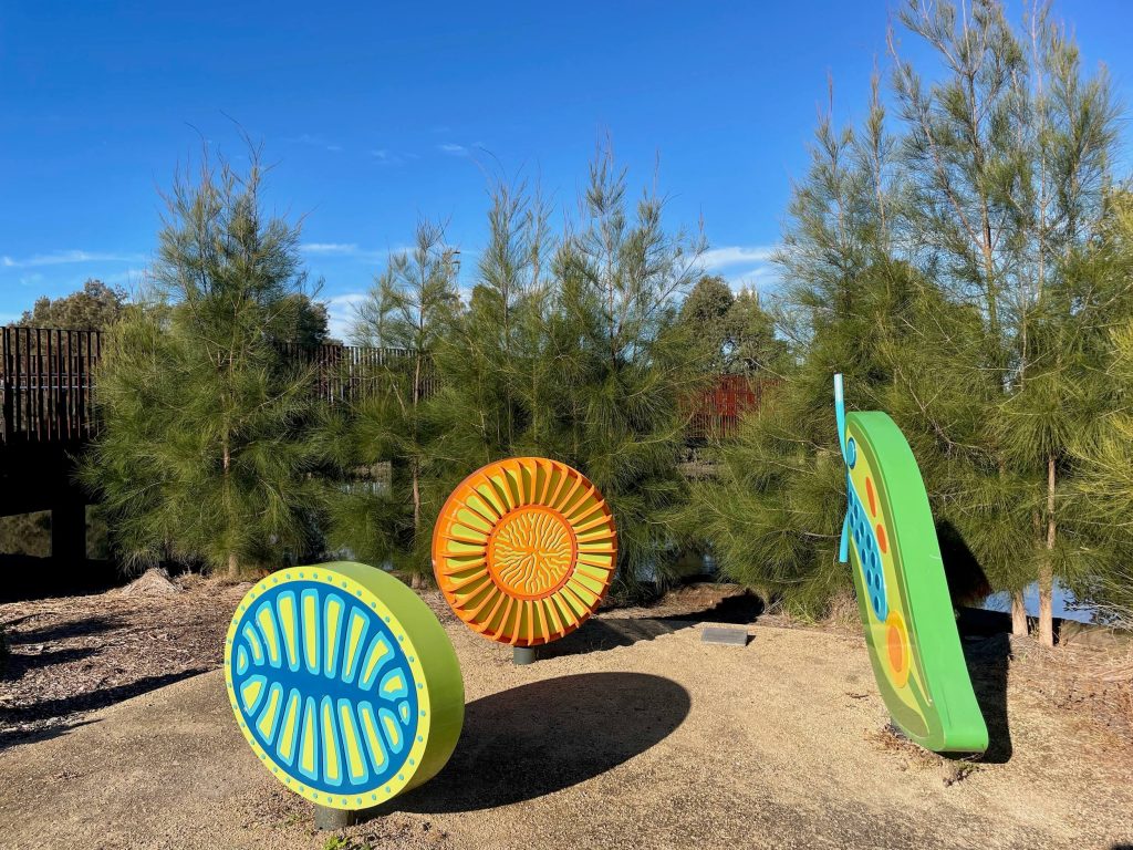
Just before you cross the Cooks River at the Lang Road Bridge, you’ll see a couple of works of public art in Ewen Park. One work is named ‘pH’ and was created by Graham Chalcroft. This art was inspired by the science of pH testing, which is a way to determine water quality.
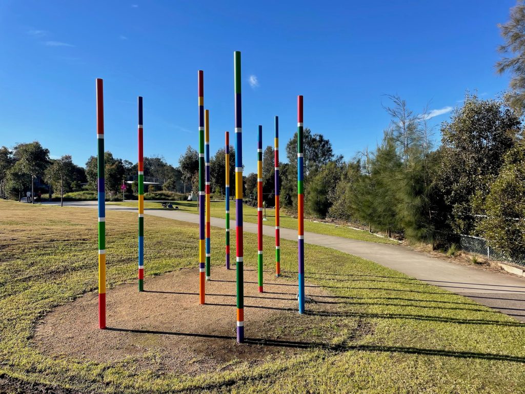
The other public art work in Ewen Park is In The Light, also by Graham Chalcroft. This work celebrates phytoplankton and their contribution to ecological health.
Jackson Place
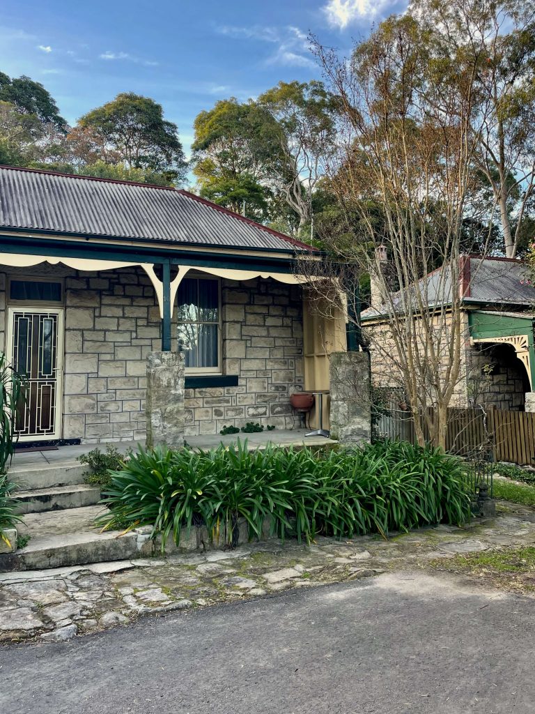
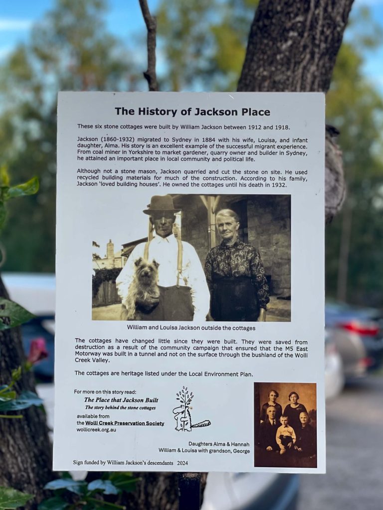
When you emerge from the first section of Wolli Creek Regional Park (after Waterworth Park) you’ll come to Jackson Place. Here you’ll observe six historic stone cottages. A sign across from the cottages explains they were built by William Jackson between 1912 and 1918. Jackson came to Sydney having migrated from Yorkshire. Like the bushland of Wolli Creek Regional Park, Jackson’s stone cottages were protected thanks to a long-running and ultimately successful local community campaign that saw the M5 East Motorway shifted from the planned above-ground route to an alternative tunnel route.
Wolli Creek Regional Park
Community action is to thank for the preservation of bushland today known as Wolli Creek Regional Park. Established in 1998, you can read the area’s storied history and the ongoing to protect the park on the Wolli Creek Preservation Society website.



One Comment