What a walk! The Bondi to Manly Walk is a spectacular 80km walk that follows the coast between Bondi and Manly.
As you make your way between Sydney’s most iconic beaches, this walk takes you along sheer escarpments overlooking the ocean, past luxury harbourside homes, across sandy beaches, into historic military forts, and through pockets of coastal bushland.
| Distance: | 80km |
| Start: | Bondi Beach |
| End: | Manly Beach |
| Public Transport: | Bus at Bondi Beach Ferry at Manly Wharf |
| Water: | Various throughout the walk |
| Toilets: | Various throughout the walk |
| Top Tip: | Start your walking days at sunrise and enjoy the golden hour glow as you make your way around Sydney Harbour. |
I did the Bondi to Manly walk in two days one sunny winter weekend. And what a glorious way to spend a weekend in Sydney. If I was to do this walk again, I’d do it over 3 days to give myself that bit of extra time to take it all in.
Whether you want to walk it in a weekend, or tackle it in sections over a longer period of time, the Bondi to Manly walk is an essential Sydney walk.
Author’s Note
I did end up doing this walk again – a year and a bit after I first walked from Bondi to Manly. For my second walk I made a few changes. Firstly, I walked in October (vs June for my original walk). This meant more daylight with a later sunset, plus a warmer morning because it was spring. I did the walk again over two days, this time I finished my first day at North Sydney ferry wharf, which made for a more even split of kilometres rather than a longer second day (phew). I also had the company of my (marathon running) younger brother which was helpful to stay motivated and on pace, and we celebrated our finish with a few Mountain Culture beers and pub meals at the New Brighton Hotel in Manly (well-deserved, I think, and highly recommended!).
Bondi to Manly Walk Map
This walk was created by the official Bondi to Manly Walk website.
Bondi to Manly Walk Itinerary
There are so many ways to complete the walk, and Bondi to Manly Walk website has a series of itineraries from 2 days up to 7 days to help you plan your walk.
Or you can do your own thing, like the ambitious runners who have completed the Bondi to Manly walk as an ultra-marathon, covering the entire distance in just over 6 hours!
I took a more leisurely approach, doing the Bondi to Manly walk over two days one weekend. I started my walk in Bondi on Saturday morning and ended in Manly on Sunday evening.
I used the official Google Map on my phone together with the trail markers to navigate my walk and I roughly followed the Bondi to Manly walk 2 day itinerary.
I ended my first day at Circular Quay so I could start my second day walking across the Sydney Harbour Bridge.
Because I live in Sydney, I was able to take the train home after completing day 1 before returning to pick up where I left off the next morning.
If you’re not a local, you’ll find plenty of options (bus, train, ferry, taxi, ride share) to transport you between the walking track and your accommodation.
What I Packed
I hiked with a day pack. This is what I packed each day:
Day 1: Bondi Beach to Circular Quay
To get to Bondi Beach, I caught the train from my apartment to Bondi Junction where I changed for the bus out to the beach.
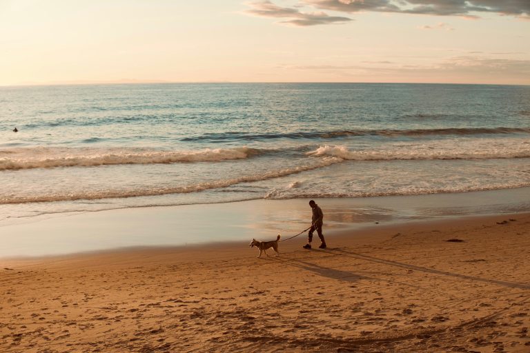
I arrived just before sunrise, it was about 6 or 7 degrees, but there was already plenty of people jogging along the promenade and venturing across the sand to brave the ocean for a morning swim.
If you’re travelling to Bondi Beach from central Sydney, you can take the train to Bondi Junction and then change for the bus to the beach. Or just jump on the bus for the entire journey from the city. If you need help navigating Sydney’s public transport, download the TripView app or visit the Trip Planner website.
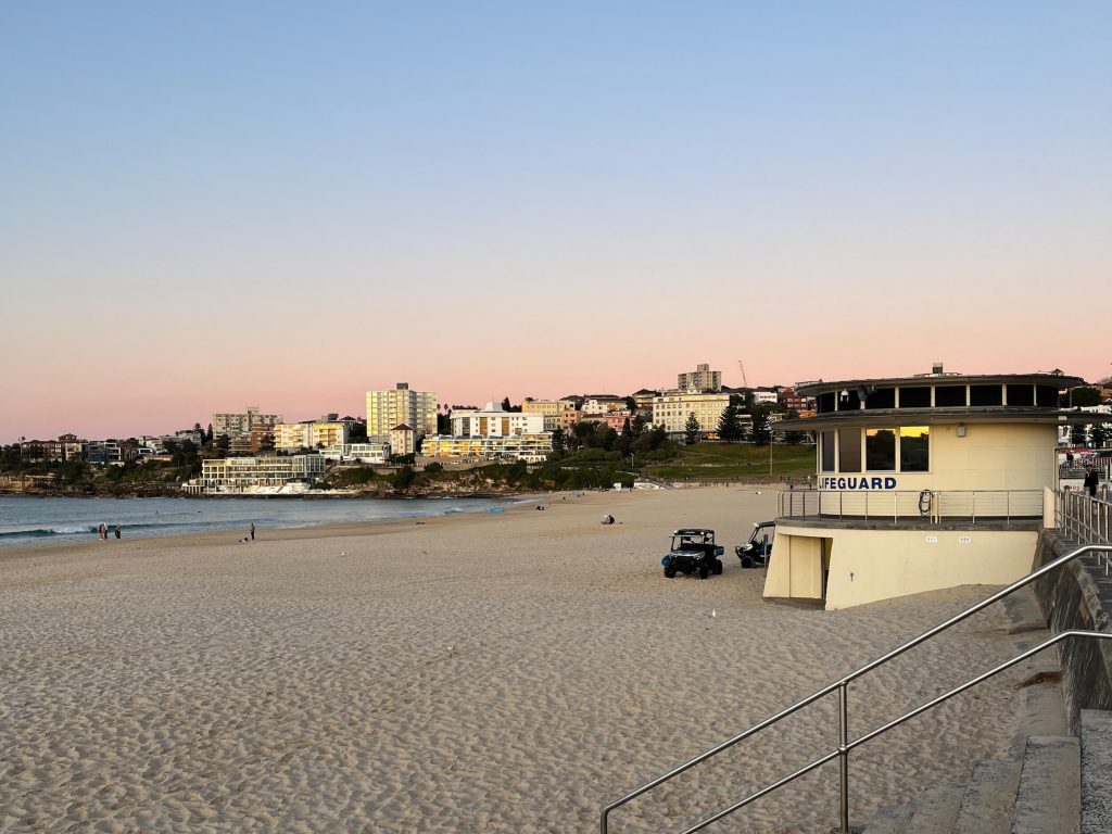
Bondi Beach
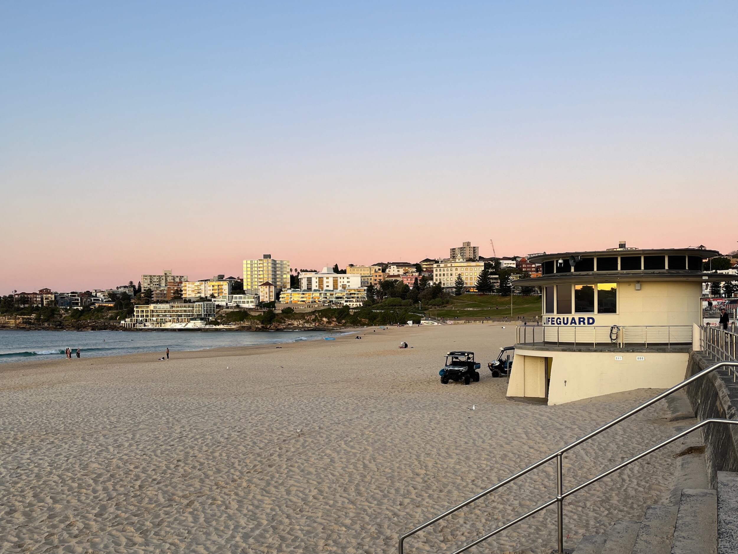
The starting point of the Bondi to Manly Walk is the centre of the promenade at Bondi Beach, near the lifeguard tower. There’s no sign about the walk, but you’ll have no trouble finding this point.
From the lifeguard tower, you’ll head off towards North Bondi, up through Biddigal Reserve and then around to Ben Buckler. It was here that I stopped to join about a dozen others who’d gathered on the headland to watch the sunrise over the ocean bringing with it that glorious golden morning light.
From Ben Buckler the walk follows some streets through North Bondi before taking you up to Hugh Bamford Reserve where you catch your first glimpse of the Sydney skyline.
The walk passes by another great view of the city skyline at Dudley Page Reserve, after which you’ll find yourself walking mostly through scenic reserves alongside the coastline with sweeping views out over the ocean.
South Head
At South Head you’ll get a glimpse of where you’re ultimately heading, with views not only toward the Sydney city skyline, but also across the harbour to North Head.
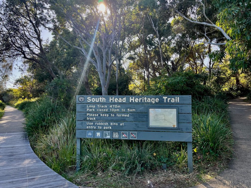
The South Head Heritage Trail loops you around past Hornby Lighthouse and the views of North Head before dropping down to the sandy beach at Camp Cove. And then it’s onward to Watsons Bay with the ferry wharf, Doyles, the park, and Watson’s Bay Hotel… it’s a busy spot!
Vaucluse
Having lived in Sydney for most of my adult life, I’ve visited a lot of the vantage points along what is now the Bondi to Manly walk.
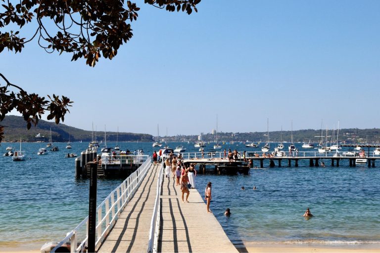
But one spot I’d never visited before is Parsley Bay in Vaucluse. Having seen some photos, I was really looking forward to seeing it for myself, and walking across the bridge.
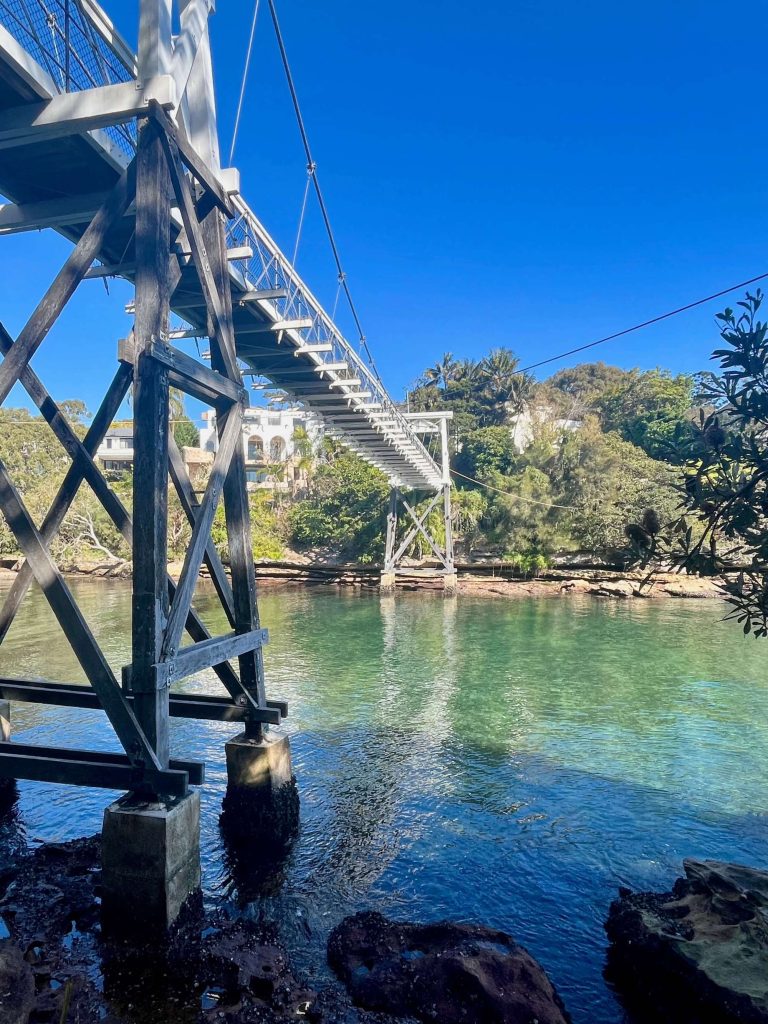
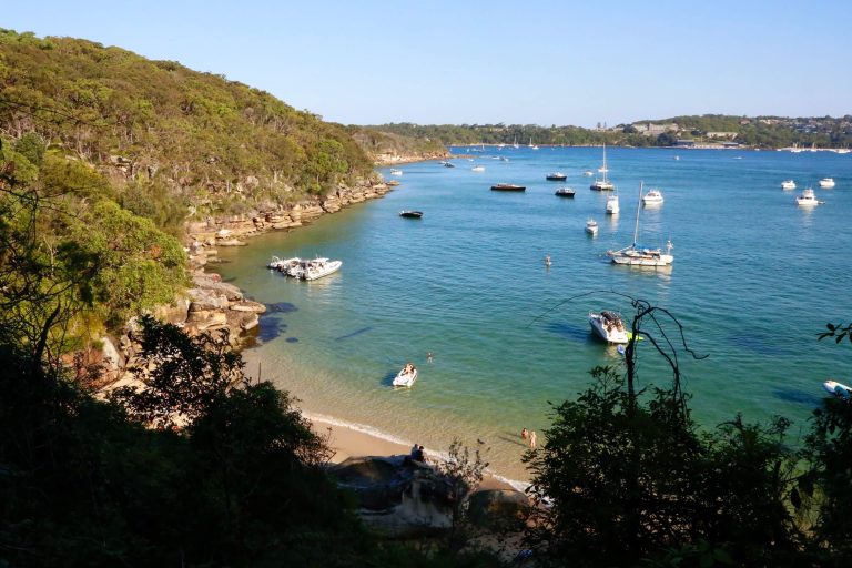
From Parsley Bay the track winds around to the popular Nielsen Park where the Hermitage Foreshore Track begins. This coastal walk follows the harbour’s edge, on board walks through coastal bushland and across small sandy beaches with scenic vantage points at every turn.
If you’re ever looking for a scenic short walk to impress visitors to Sydney, you can’t go wrong with the Hermitage Foreshore Track on a sunny day.
Rose Bay and Double Bay
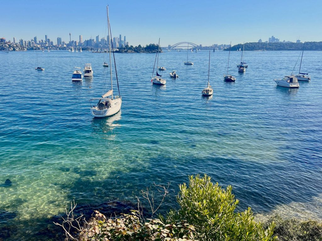
As the Hermitage Foreshore Track ends, the track follows the harbour around to the Rose Bay Foreshore, passing by the beach, ferry wharf, and park.
Just beyond Rose Bay park, the walk loops through the residential streets of Point Piper, home to some of Sydney’s most expensive harbourside properties. Some of the streets here are quite narrow and have no footpaths which can make walking a little tricky.
Leaving the mansions of Point Piper behind, you drop down onto Seven Shillings beach and walk along the sand to Murray Rose Pool (Redleaf Pool). Climbing the stairs here you’ll pass the cafe and reach a nice shaded spot where you can rest overlooking the harbour pool before carrying on to Double Bay.
Now, if you’ve been hankering for a meal, snack, or coffee, Double Bay has loads of shops and cafes you’ll walk right by. There’s also a Woolworths supermarket just a few minutes detour from the main walk if you need it.
From Steyne Parke in Double Bay it’s up the shaded Marathon Steps into Darling Point, a section of the walk I’d been looking forward to all day. Darling Point is home to what might just be my favourite harbourside park in Sydney: McKell Park.
Darling Point, Rushcutters Bay, Potts Point
The leafy shaded walk down Darling Point Road will bring you to McKell Park, alongside Darling Point ferry wharf. McKell Park has views of the Harbour Bridge and plenty of spots to sit and take in the view.
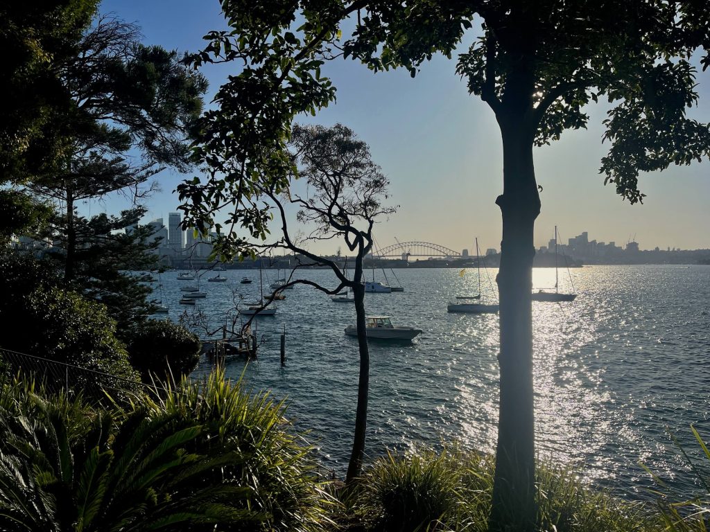
Continuing on, the walk passes Yarranabbe Park and through Rushcutters Bay, past the cruising yacht club.
Walking up the steps at the edge of Rushcutters takes you into Elizabeth Bay. There are two great little parks in this tiny harbourside suburb: Beare Park right on the harbour’s edge, and Arthur McElhone Reserve overlooking the harbour in front of Elizabeth Bay House.
After passing the grand harbourside homes on Billyard Ave, you’ll walk up the stairs and down a pedestrian laneway to Macleay St in Potts Point. Here you’ll find lots of shops and restaurants. Carrying on down Challis Ave, to the McElhone Stairs on Victoria Street, from the top of these stairs you’ll get another great view of the Sydney city skyline.
Royal Botanic Gardens and Circular Quay
After passing through Woolloomooloo you will reach Sydney’s Royal Botanic Garden. This was the home stretch of what was day 1 of 2 on my Bondi to Manly walk. Because I was walking during Vivid, I had a bit of a deadline to make sure I was clear of the gardens and Circular Quay before the crowds arrived for the evening light show.
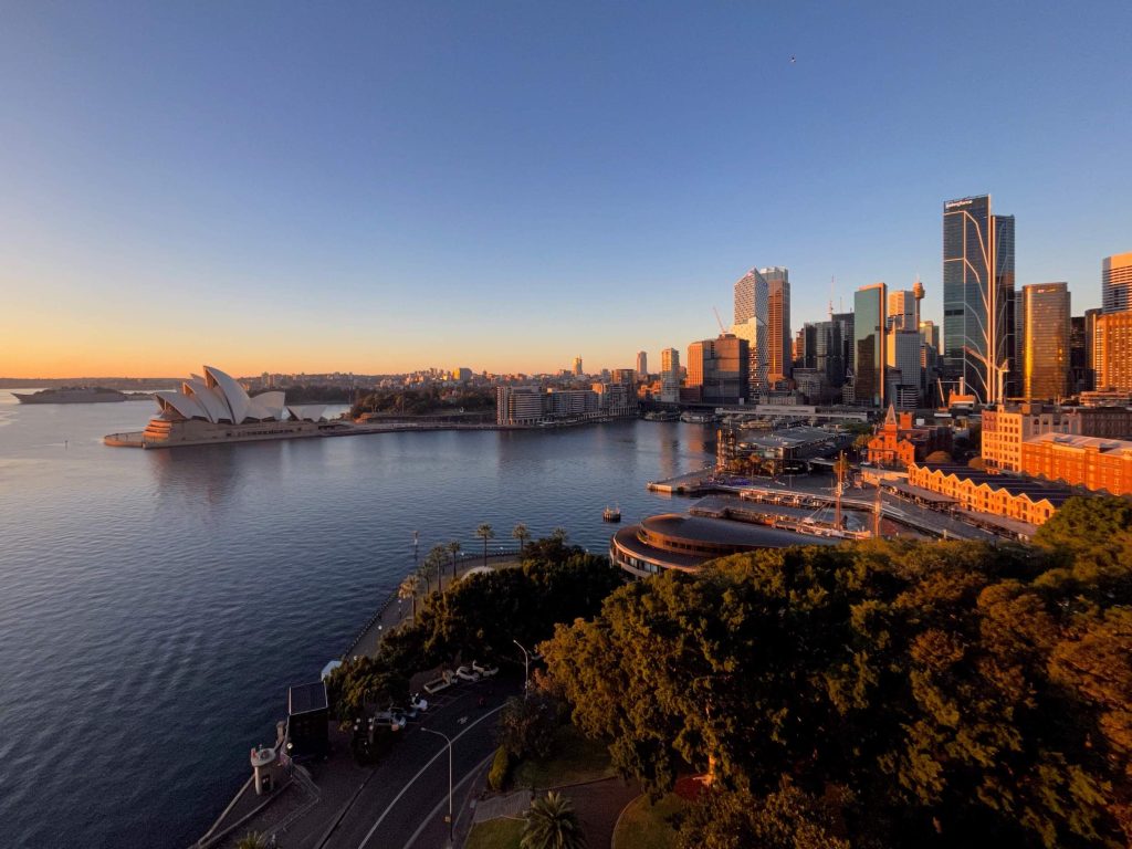
As I made my way through the gardens, the afternoon golden hour was in full force. Before long I’d made my way around to the Opera House forecourt with its iconic views.
Walking around Circular Quay as the sun set, this was the end of my first day walking Bondi to Manly. I’d be back here tomorrow morning at sunrise to begin day two, onwards to Manly.
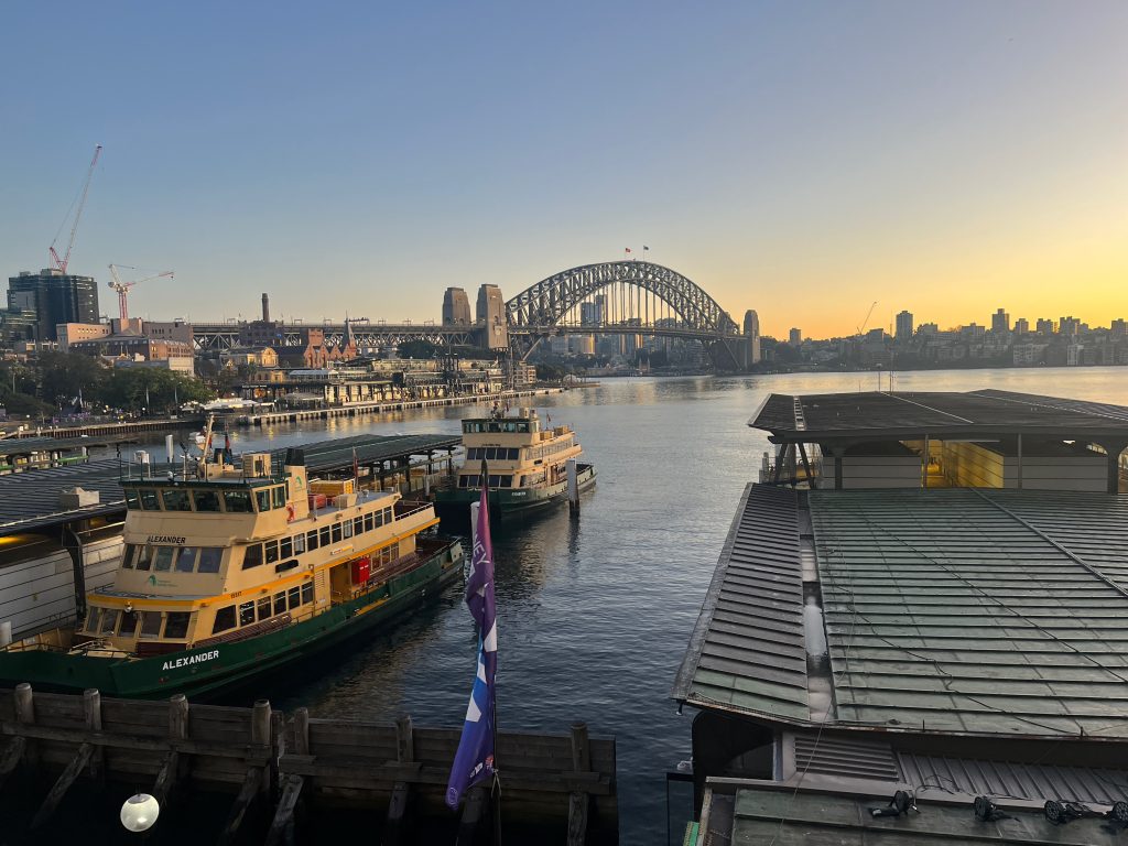
Day 2: Circular Quay to Manly
I arrived at Circular Quay just before sunrise to begin the second day of my Bondi to Manly walk.
I could feel some physical fatigue having completed roughly 40km of the walk from Bondi to Circular Quay the previous day, but with a sunrise walk over the harbour bridge ahead of me I was good to go.
Sydney Harbour Bridge
Walking over the bridge at this time of day was really special. It’s something I’d highly recommend even if you’re not doing the full Bondi to Manly walk.

The walk across Sydney Harbour Bridge from The Rocks to Milsons Point is less than 2km and offers up those iconic Sydney Harbour views.
On the north side of the bridge, the walk heads through Kirribilli (via the Prime Minister’s fancy harbourside Sydney residence) to Sub Base Platypus and around Neutral Bay passing by the cottage where author May Gibbs lived and worked.
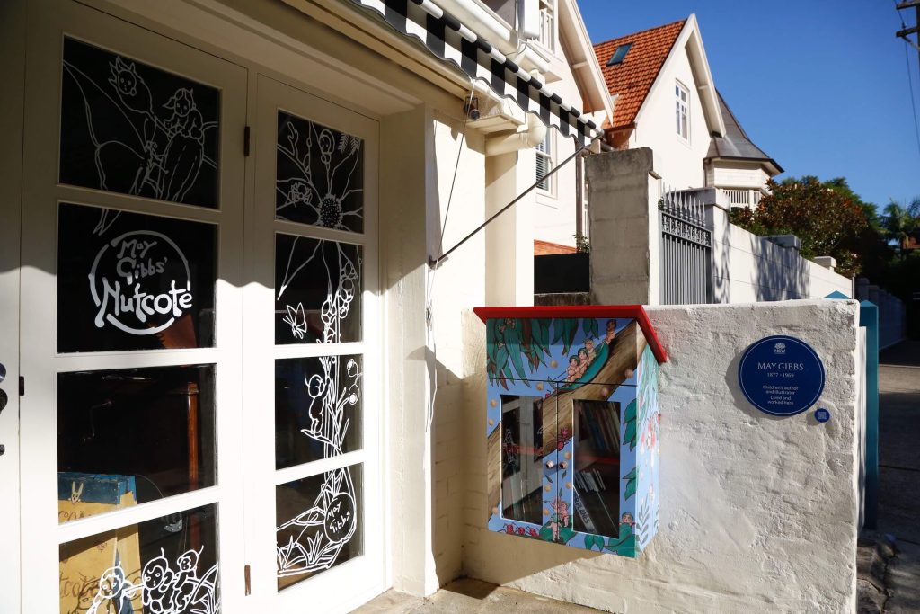
There’s a bit of walking through residential streets on this stretch before the walk rejoins the harbour’s edge at Cremorne.
Cremorne
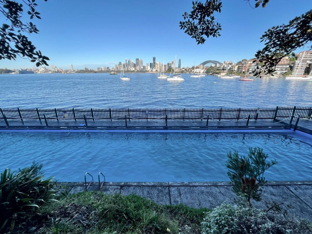
I loved the walk through Cremorne Reserve. It’s another section of the walk I’d suggest doing if you’re looking for a short harbourside walk or great spot for a picnic. There’s a ferry wharf at Cremorne Point which makes it easy to get to from Circular Quay.
In Cremorne Reserve, the walking track is paved, there’s drinking water fountains, toilets, a playground, a small coffee shop at the wharf, Mccallum Pool is there for keen swimmers, a beautiful hidden garden, as well as plenty of benches and grassy spots to sit and enjoy the view.
Mosman
From Cremorne the walk heads off around Mosman. There’s some steps and steep streets here. I definitely felt the kilometres stacking up when I made my way up the short sharp hills.
I was glad to have my Google Map at this point too. At the end of one of the residential streets, the Bondi to Manly sign was obscured by parked cars… but the Google Map had me quickly back on track.
Taronga Zoo to Bradleys Head
Here the Bondi to Manly walk passes Sirius Cove, winding around the harbour’s edge to Taronga Zoo.
The walk from the zoo around to Bradley’s Head is an incredibly pretty stretch of track, with coastal bushland on your left and Sydney Harbour on your right.
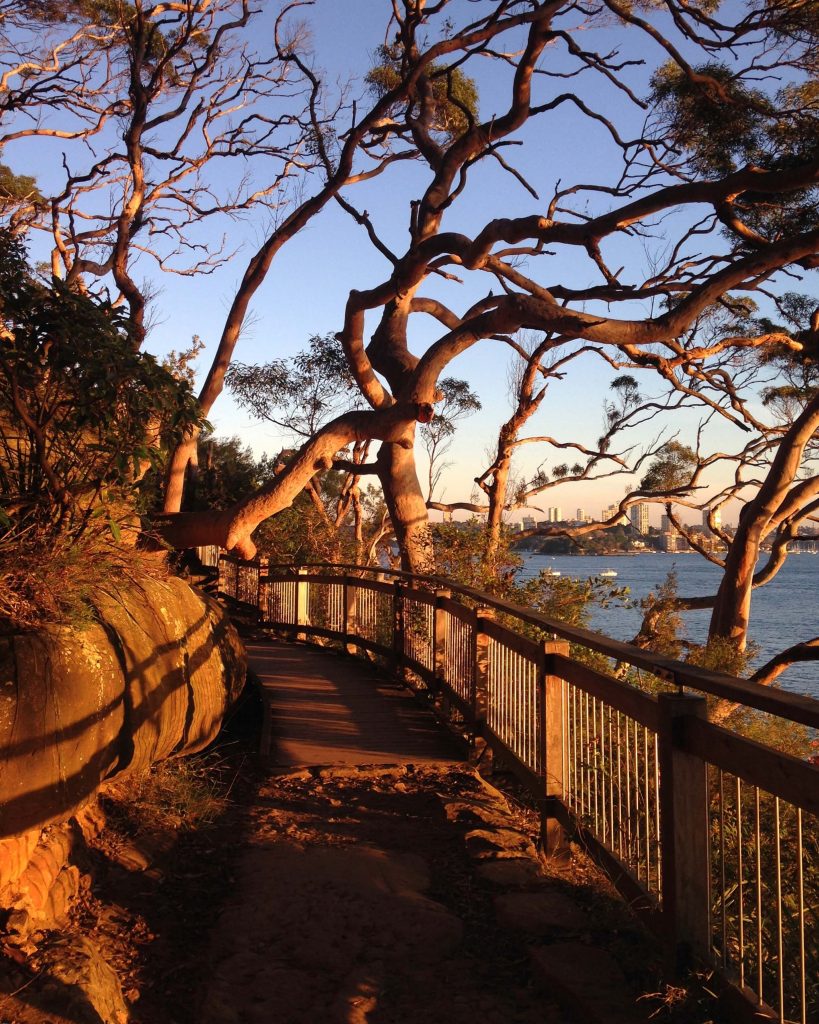
Middle Head
From Bradley’s Head you’ll continue on to Clifton Gardens and Chowder Bay and then come to the historic fortifications at Middle Head.
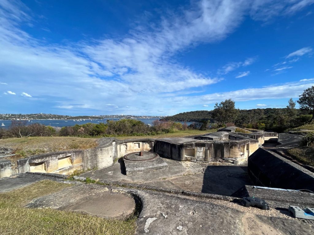
From Middle Head, the walk passes the perimeter of HMAS Penguin before dropping down to Balmoral Beach and Rocky Point Island.
Spit Bridge to Manly
The walk continues towards Spit Bridge. Crossing the bridge, the Bondi to Manly walk follows the popular Spit Bridge to Manly Walk (otherwise known as the Manly Scenic Walkway).
The walk continues around the harbour passing pretty harbourside coves Sandy Bay (dog friendly!), Clontarf Beach, and Castle Rock Beach.
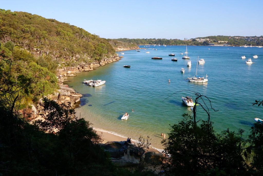
Coming up on the section of the track around Dobroyd Head, the vantage points bring Manly and North Head into view.
You can see the ferries coming and going from Manly wharf, plus you get views across the harbour to South Head, and turning around, the Sydney skyline too.
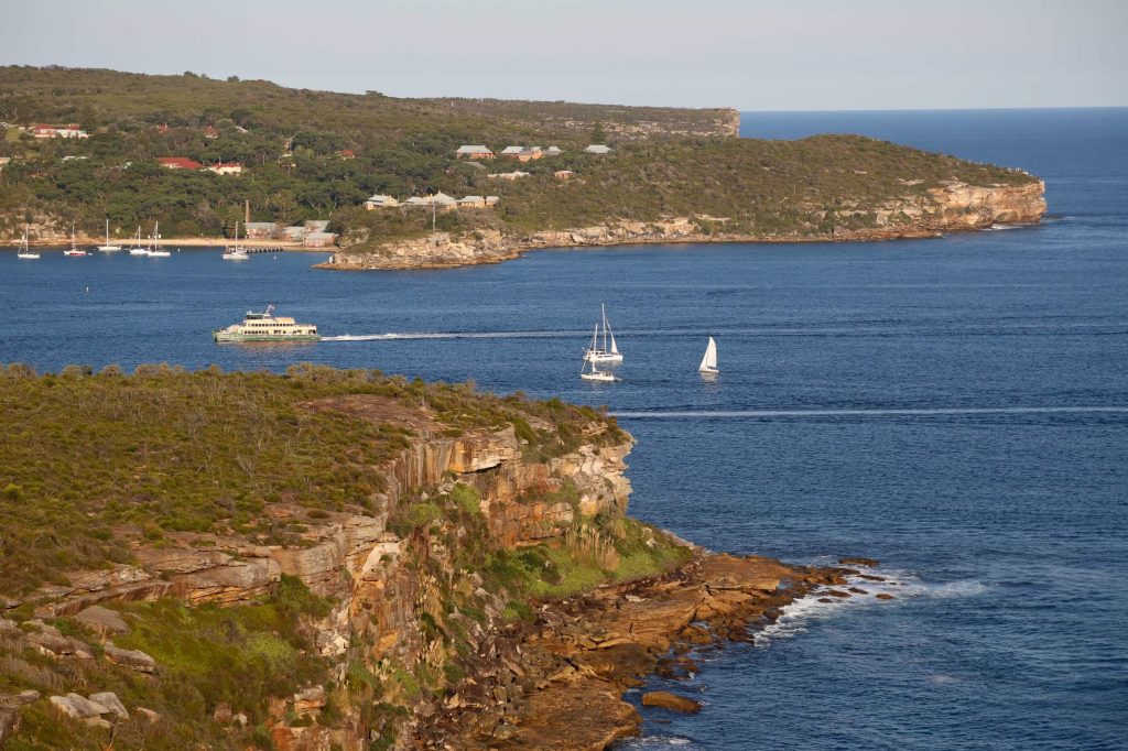
You’ll also pass by a signpost to a short detour off the main track leading to the Grotto Point Aboriginal Engravings Site. This detour will only add a few minutes to your walk and is an opportunity to see well-preserved Aboriginal rock art.
As you descend Dobroyd Head you’ll come down to the coast line again and pass Reef Beach and then Forty Baskets Beach. The track traverses the rocks and sand at Forty Baskets Beach. At high tide, there is an alternate path you can take, look out for the sign just before you come to Forty Baskets Beach.
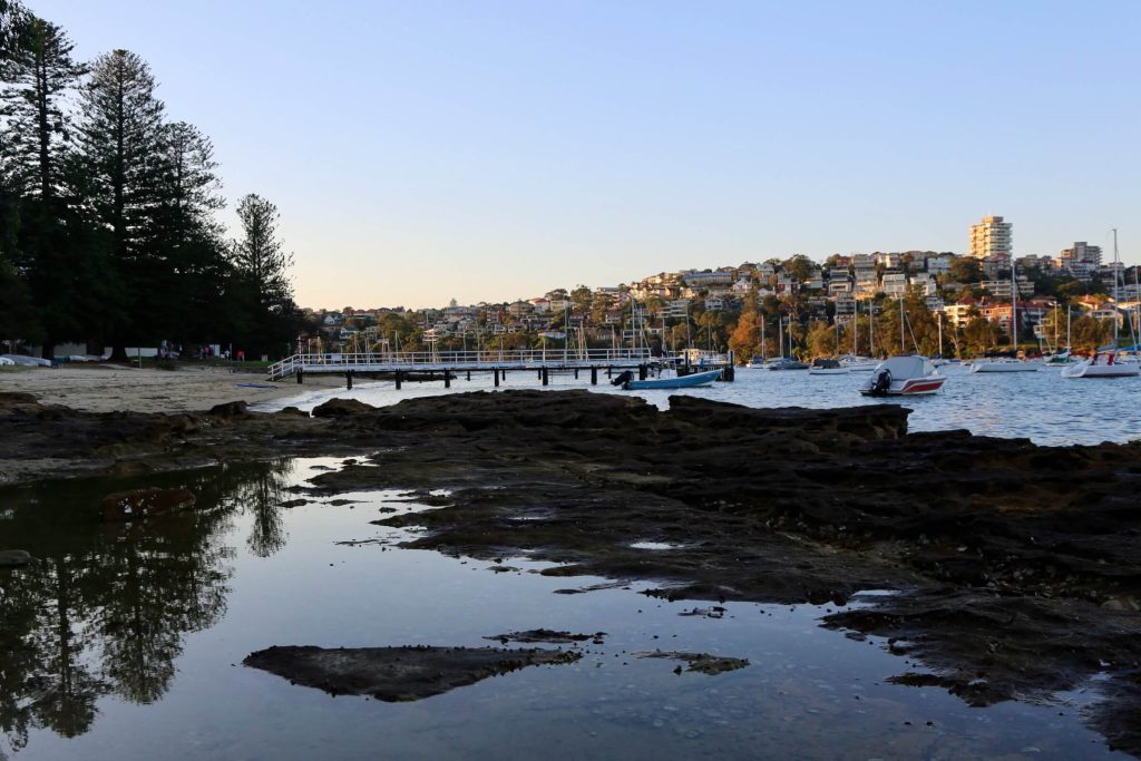
😓 Sidenote: stairs, stairs, so many stairs! I don’t know if it was the physical fatigue clouding my judgement, but the second day of my Bondi to Manly walk felt like the day of stairs. The stairs were everywhere.
Would I have noticed these various sections of stairs as much if I hadn’t already walked 40km the previous day? Who knows.
If you do this walk, let me know if the stairs on the track on the north side of the harbour got you as good as they got me. And if your ankles or knees usually give you a bit of grief during walks, perhaps take this as a warning to take care.
North Head
Continuing onward around the harbour’s edge the walk passes through Balgowlah and Fairlight before arriving into Manly Wharf. What a sight. This is the home stretch and after approximately 36km for the day, it’s welcome!
From Manly Wharf the walk continues on up to North Head, looping around Fairfax Track which provides a vantage point with views across Sydney Harbour back towards the city, showing how far you’ve come.
Manly Beach
To finish the Bondi to Manly walk, the track heads from North Head down past Shelly Beach and finally around to Manly Beach.
The walk ends at the flagpoles on the promenade at Manly Beach near The Corso.
And with that it’s all over: Bondi to Manly walk in a weekend, 80km done ✅
Manly has loads of places you can fuel up and celebrate your walk. Whether you want to grab a burger and beer at a nearby pub (try 4 Pines on E Esplanade for a local brew), or maybe, like I did (less exciting though felt necessary), a Powerade from Coles on The Corso.
The best way to get back to central Sydney is to walk from Manly Beach down The Corso back to Manly Wharf where you can take the ferry across to Circular Quay.

Bondi to Manly Walk Highlights
If you’re looking for a taste of the Bondi to Manly walk, these were some of my highlights:
And while not technically part of the walk, definitely part of the overall experience:
These were just a few of my personal favourite moments on the Bondi to Manly walk.
Facilities
You’re never far from everything you need on the Bondi to Manly walk: from cafes and shops, to drinking water and toilets.
Cafes
I packed my own lunch, snacks, and coffee, because I love being able to take a break whenever I find a great view.
But this is absolutely a walk you could do without packing your own food. The walk passes by supermarkets and shops as well as loads of cafes, many in great locations on the water’s edge.
Drinking Water
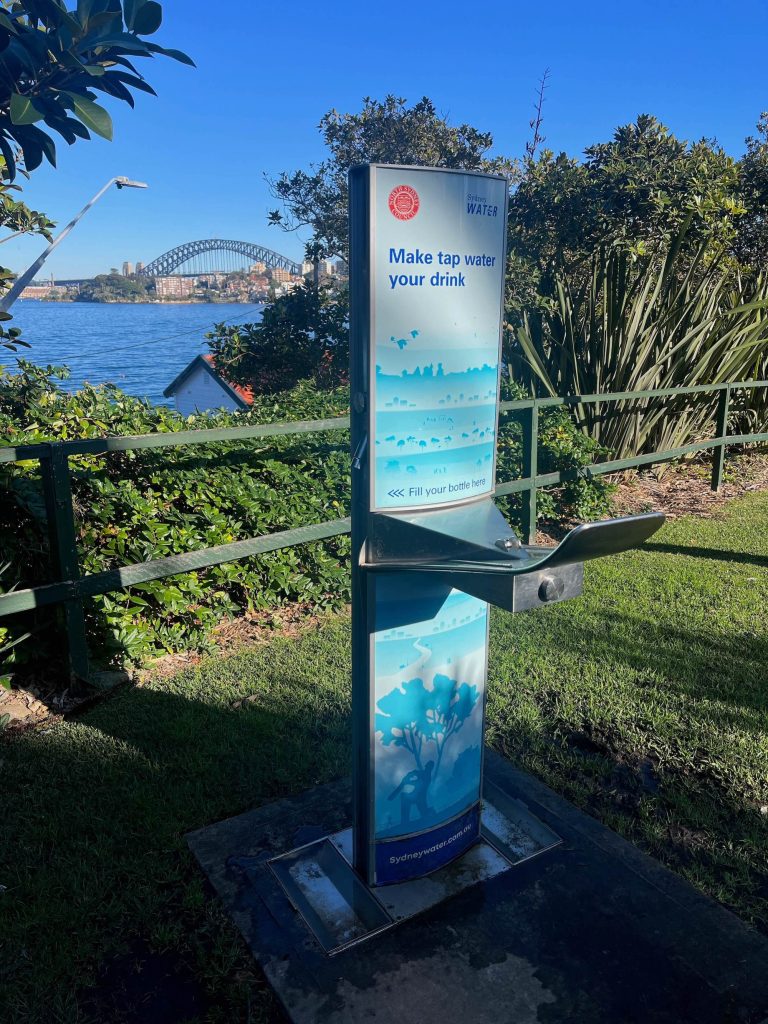
There’s plenty of opportunities to refill your water bottle on the Bondi to Manly walk. I’ve listed below the places I noticed drinking water available on the Bondi to Manly walk:
If you’re using the Bondi to Manly walk Google Map during your walk, you can keep an eye out for the tap icon to see where the next available drinking water is.
Toilets
There are public toilets at most of the parks and beaches on the Bondi to Manly walk. I’ve listed below all the places I noticed a toilet block during my walk from Bondi to Manly:
If you’re using the Bondi to Manly walk Google Map during your walk, you can keep an eye out for the toilet icon to see where the next public toilet is located.
Frequently Asked Questions
How long is the Bondi to Manly walk?
The Bondi to Manly walk is approximately 80km.
How long does it take to walk from Bondi to Manly?
That’s up to you! The Bondi to Manly walk can be run as an ultra-marathon (at the time of writing, the current fastest known time is a little over 6 hours), or as a scenic walk with the official website providing itineraries for options to do the walk in 2 days and up to 7 days.
There are plenty of places to join and leave the Bondi to Manly walk, and transport is easy with the walk passing bus routes, train stations, and ferry wharves. You can also use taxis or ride-shares to get to and from different parts of the Bondi to Manly walk.
You can plan your walk by reviewing the map and track notes, and deciding how far you’d like to walk each day.
Where is the start of the Bondi to Manly walk?
The start of the Bondi to Manly walk is at the centre of Bondi Beach, on the promenade near the lifeguard tower.
Where is the end of the Bondi to Manly walk?
The Bondi to Manly walk finishes at Manly Beach, near The Corso.
Can I walk Manly to Bondi instead?
The Bondi to Manly walk can be walked in reverse, that is, from Manly to Bondi.
The official website’s walking itineraries are written for the walk to be done from Bondi to Manly, but by following the Google Map and track signage, you could navigate the walk in the opposite direction, starting at Manly Beach and ending at Bondi Beach.
How do I navigate the Bondi to Manly walk?
The easiest way I found to navigate the Bondi to Manly walk was by relying on the street signage on the walking route, together with the Google Map on my mobile phone. Using the Google Map meant I could track my progress and check any points where either track signage didn’t exist, or I had missed it.
The Google Map is available on the Bondi to Manly walk official website. I highly recommend carrying a back-up battery for your mobile phone if you’re planning to use the Google Map on the Bondi to Manly walk.
You can also download the official Bondi to Manly walk app, which has a map. And if your preference is for a paper map, you can purchase a copy of the Bondi to Manly Walk Official Walker’s Guidebook.
Is there accommodation on the Bondi to Manly walk?
If you’re completing the Bondi to Manly walk and you’re not from Sydney, you’ll be pleased to know there are plenty of options for where to stay.
While there is no camping on the Bondi to Manly walk, there are various accommodation options such as hotels available along almost all sections of the walk, many within walking distance of the track and others a short drive away. Where you stay is really up to your budget and which locations you choose.
Is there mobile phone reception on the Bondi to Manly walk?
Yes there is mobile phone reception on the Bondi to Manly walk.
Even when you’re on sections of the walk passing through coastal bushland or across beaches, you’re never too far from Sydney’s residential streets which means mobile phone reception is generally available.
Because this is a long walk, it’s a good idea to bring a power bank as a portable charger for your mobile phone, particularly if you’re planning to use your phone to take photos and access Google Maps to assist with navigation.
Are there toilets on the Bondi to Manly walk?
There are plenty of public toilets along the route of the Bondi to Manly walk. The walk passes through many parks and beaches and it is in these locations that you’ll most often find public toilet blocks.
Is drinking water available on the Bondi to Manly walk?
Drinking water is available on the Bondi to Manly walk. While it’s a good idea to carry our own drinking water on any walk, there are plenty of opportunities to refill your water bottle along every section of the Bondi to Manly walk.
There were two main types of drinking water I noticed along the walk bubbles, and newer style water refill stations.
How can I get to Bondi Beach?
If you are using public transport, you can reach Bondi Beach by bus.
If you’re travelling to Bondi Beach from the central Sydney, you can either take the bus the entire way, or take the train to Bondi Junction and then change onto a bus down to the beach.
You can plan your trip using the Transport NSW Trip Planner, or by downloading an app such as TripView to your mobile phone.
How can I get from Manly back to central Sydney?
At Manly, you can take the ferry from Manly Wharf across the harbour to Circular Quay.
At Circular Quay you can change for train or light rail services to connect with other parts of Sydney.
Whether you walk it in a weekend, or take a more leisurely pace, I hope this guide has inspired you to get out there and experience the epic Bondi to Manly walk for yourself.


4 Comments