Sydney is spoiled for choice when it comes to parks. Whichever part of Sydney you’re spending time in, there’s plenty of parkland to enjoy.
From harbourside parks with views across the water, to carefully tended to gardens. Riverside parks, parks with beach views, small parks tucked away in quiet suburbs, and large sprawling parkland too.
This is your guide to some of Sydney’s very best gardens.
Parks in Sydney CBD
Hyde Park
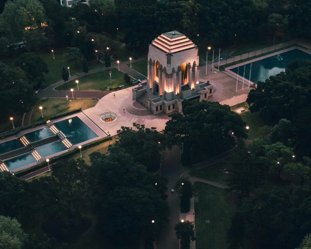
| Location: | Access via Elizabeth St, College St, Liverpool St |
| Public Transport: | Train to Museum or St James Bus to Elizabeth St |
| Facilities: | Bench seats Drinking water bubblers Toilets |
| Access-Friendly: | While there are stairs at some points of the park, alternate paths exist to navigate entry, exit, and through the park. |
Hyde Park is a 16 hectare park located in the heart of Sydney’s CBD. It is Australia’s oldest park and notable features include the Anzac Memorial and the Archibald Fountain.
The park is sprawling, located across several city blocks, and close to public transport including St James and Museum train stations.
Hyde Park has a grand avenue lined with fig trees, manicured gardens, as well as plenty of shaded lawn and park benches. Thanks to its central location, the park is busy most days and is a popular spot for city workers to enjoy lunch.
Barangaroo Reserve
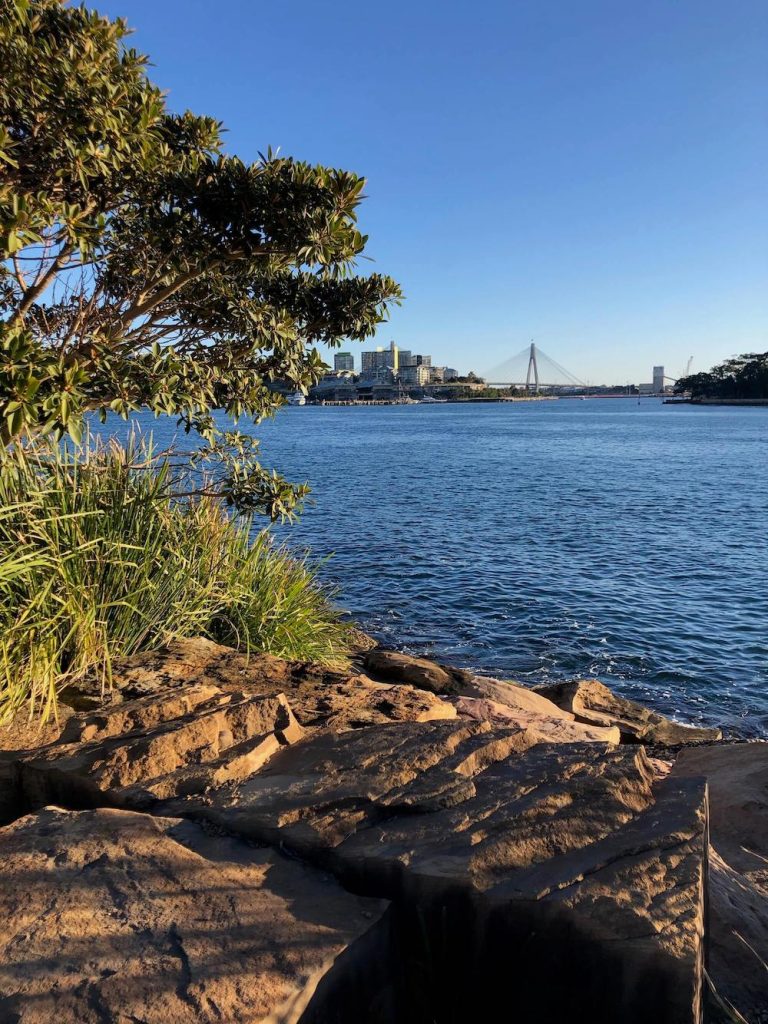
| Location: | Access via Towns Place, Hickson Road, Munn Street Reserve, or Merriman Street; or on foot from King St Wharf |
| Public Transport: | Ferry to Barangaroo Bus to Hickson Rd |
| Facilities: | Bench seats Drinking water fountains Toilets |
| Access-Friendly: | Yes, view the Barangaroo access map here. |
Barangaroo Reserve opened in 2015. The harbourside precinct has a storied history, serving many different purposes over the years, first for the Gadigal people and later by European settlers.
Barangaroo is on the land of the Gadigal people of the Eora Nation. The reserve is named after Barangaroo, a Cammeraygal woman who was influential in the early days of European colonisation.
Today, the foreshore is continuing to be transformed and enjoyed as a recreational place to walk, swim, and gather on the harbour’s edge.
Royal Botanic Garden Sydney

| Location: | Access via Macquarie St or Mrs Macquaries Rd |
| Public Transport: | Train to Circular Quay Ferry to Circular Quay Bus to Macquarie St or Mrs Macquaries Rd |
| Facilities: | Bench seats Drinking water fountains Toilets |
| Access-Friendly: | Most areas of the gardens are access-friendly, and there are a number of accessible entry and exit points. Learn more. |
Located on the harbour’s edge between Circular Quay and Wooloomooloo, the Sydney Royal Botanic Garden is a popular spot for visitors and Sydneysiders alike.
It is Australia’s oldest botanic garden, having been established in 1816. Today the garden is home to more than 27,000 plants across an area of 30 hectares with plenty of shaded space to sit and enjoy the surrounds.
Pack your own picnic or visit one of the four dining options located in the gardens. The Sydney Royal Botanic Garden is open daily from 7am, with closing time varying throughout the year (check opening hours here).
Parks in Sydney’s Eastern Suburbs
McKell Park
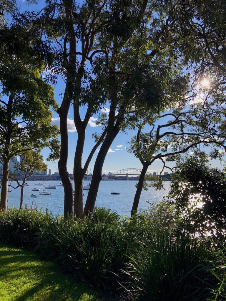
| Location: | Darling Point Rd |
| Public Transport: | Ferry to Darling Point Bus to Thornton St, Darling Point |
| Facilities: | Bench seats Drinking water bubbler |
| Access-Friendly: | While most areas of the garden are accessible via a paved pathway, there are some stairs, notably between the ferry wharf and park. |
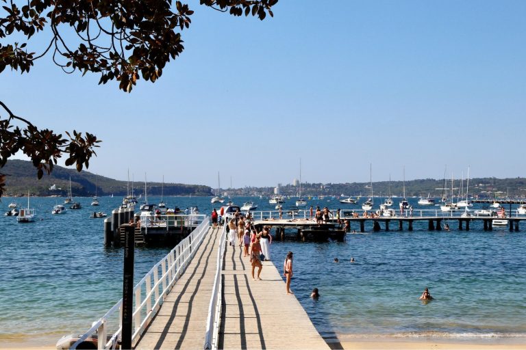
Take the ferry to Darling Point and you’ll find yourself at McKell Park. The gated park is located on the edge of Sydney Harbour and features manicured gardens and lawns with plenty of shade to enjoy a picnic. Bench seating overlooks the water and there are views back towards the Sydney city skyline.
The area where McKell Park is today was once part of the grounds of Lindesay, a stately mansion and the first house built in Darling Point.
When the Lindesay Estate was subdivided, part of the land went on to eventually become Lansdowne and then Canonbury, private homes and later a hospital.
In the mid-1980s, the area became a park and remnants of the foundations of Canonbury are evident on the park’s lawns.
Dudley Page Reserve
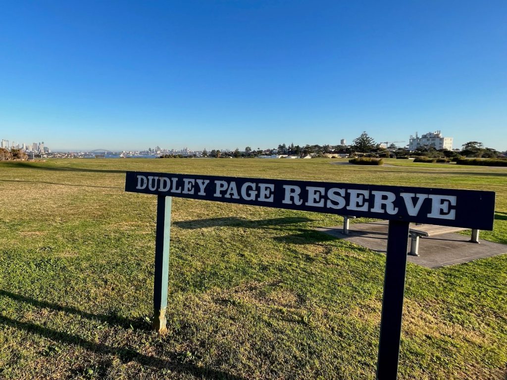
| Location: | Access via Military Rd, Lancaster Rd, Portland St, Dover Heights |
| Public Transport: | Bus to Lancaster Rd or Portland St |
| Facilities: | Playground Bench seats |
| Access-Friendly: | There are some paved paths in the park but most of the space is grass lawn. |
With its sweeping views over the Sydney city skyline, Dudley Page Reserve is a popular spot to watch the sunset. Located in Dover Heights, Dudley Page Reserve is a great place to pack a picnic and enjoy the Sydney views.
Centennial Parklands
| Location: | Various access points around the parks |
| Public Transport: | Train to Bondi Junction (10 min walk) Light rail to Royal Randwick Bus to Oxford St near Centennial Park |
| Facilities: | Bench seats Drinking water fountains BBQs Toilets |
| Access-Friendly: | There are accessible entries, exits, and pathways throughout the parklands. |
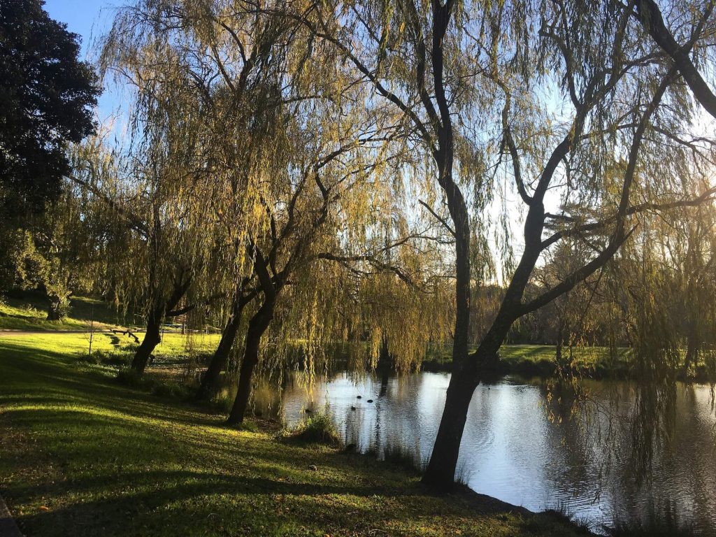
Centennial Parklands comprise Centennial Park, Moore Parke, and Queens Park. Located between Sydney CBD and Sydney’s eastern beaches, the central location of these parklands make them incredibly popular. But with so much space to enjoy, there’s never the feeling of the precinct being overcrowded.
There’s plenty to do at Centennial Parklands including walking, cycling, horse riding, and bird watching.
There’s plenty of space to pack a picnic or cook a BBQ, plus there’s cafes, kiosks, and restaurants at various points in the parks including at the Entertainment Quarter in Moore Park.
Parks in Sydney’s North
Balls Head Reserve
| Location: | Access via Balls Head Dr |
| Public Transport: | Bus to Bay Rd (16 min walk) Train to Waverton (19 min walk) |
| Facilities: | Picnic tables BBQ Drinking water bubblers Toilets |
| Access-Friendly: |
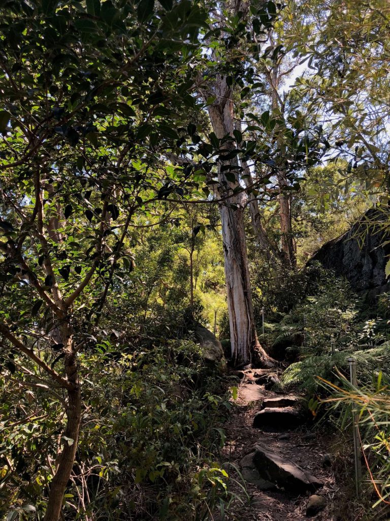
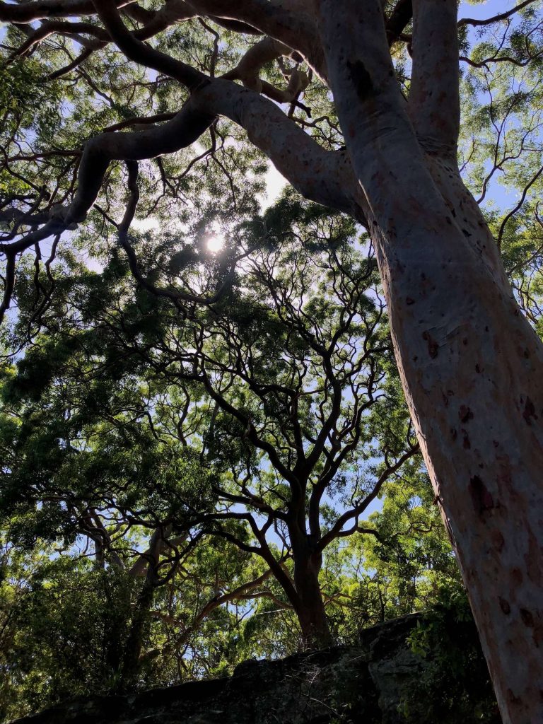
Balls Head overlooks Berrys Bay, and is another area of parkland we have thanks to the efforts of local community who fought to make it public land for all to enjoy.
If you’re visiting on public transport, take the train to Waverton. From Waverton Station it’s a 10 minute walk down Balls Head Road to the Coal Loader Centre for Sustainability.
If you’d prefer to drive or have mobility requirements, there’s parking at the Coal Loader Centre for Sustainability and another car park including disability access located on Balls Head Road close to the harbour.
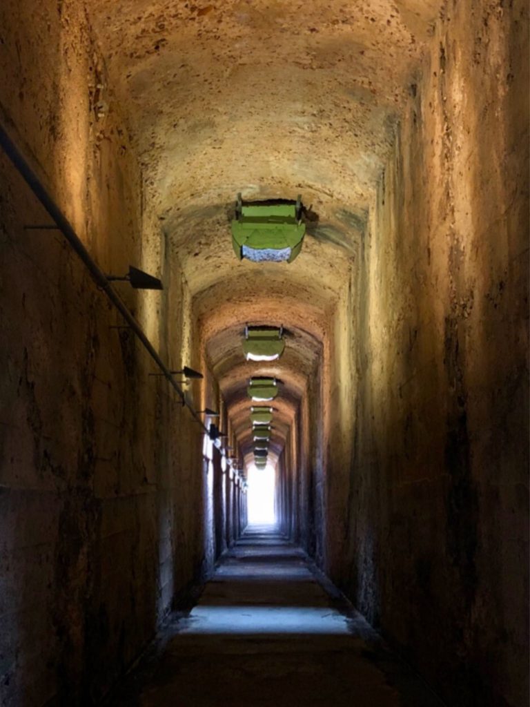
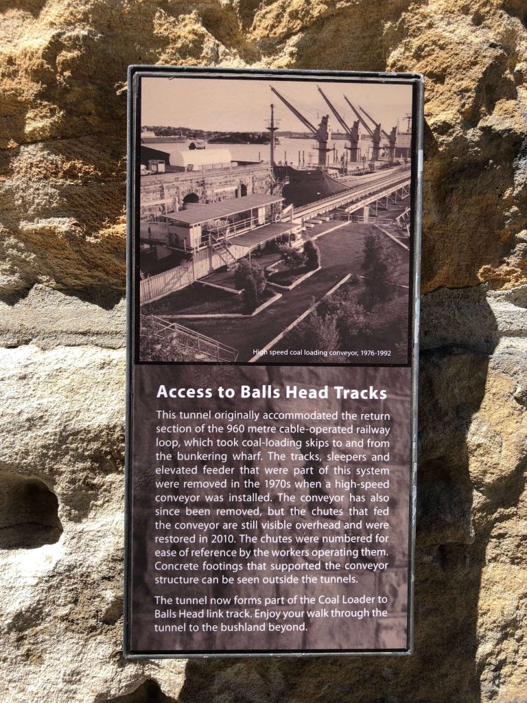
As its name and the remnant infrastructure indicates, a Coal Loader once occupied this site, operating from the 1920s until the 1990s.
Today the site is home to the Coal Loader Centre for Sustainability which connects with Balls Head Reserve via a bushland walking track.
Cremorne Reserve
| Location: | Access via Milson Rd, Cremorne |
| Public Transport: | Ferry to Cremorne Wharf Bus to Cremorne Wharf Rd |
| Facilities: | Bench seats and picnic tables Playground Fitness facilities Cafe (at the ferry wharf) Drinking water fountain Toilets |
| Access-Friendly: | While there are stairs at some points of the park, alternate paths exist to navigate entry, exit, and through the reserve. |
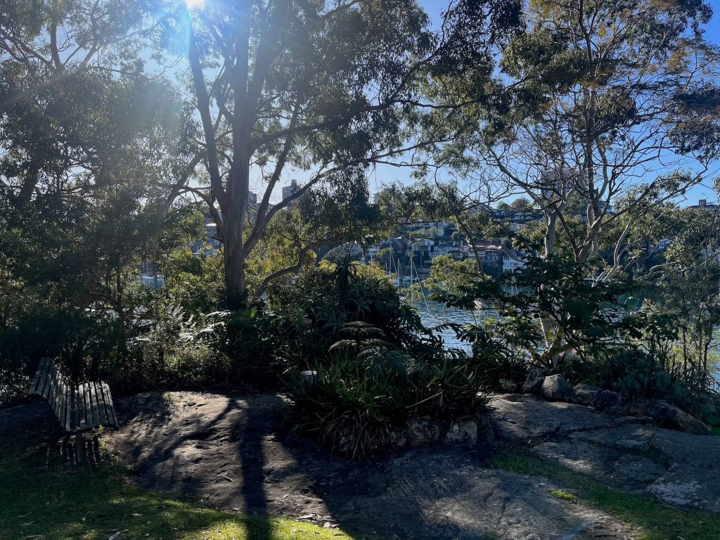
The reserve at Cremorne has plenty of shaded spots to sit and enjoy the view across Sydney Harbour to the city skyline.
Other features of Cremorne Reserve include the Maccallum Pool, the lighthouse at Robertsons Point, and the Lex and Ruby Graham Garden.
There is a children’s playground as well as a small kiosk alongside the Cremorne ferry wharf. A paved walking track is set on the harbour’s edge from Bogota Avenue all the way around the point to Old Cremorne Wharf and beyond. This track forms part of the Bondi to Manly walk.
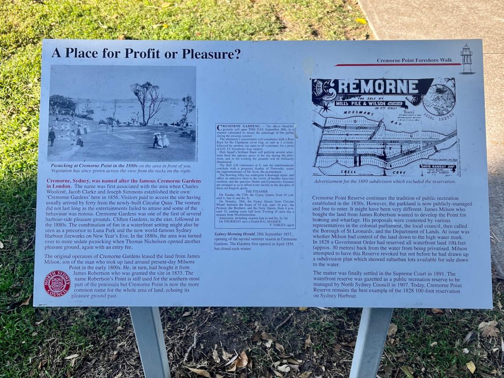
Like many waterfront areas in Sydney, Cremorne Reserve was almost privatised and turned into a housing development. Thankfully, the foreshore area was saved from that fate and has long been enjoyed as a shared recreational area.
Clontarf Reserve
| Location: | Access via Sandy Bay Rd |
| Public Transport: | Bus to Beatrice St (from Manly) |
| Facilities: | Bench seats Picnic tables BBQs Drinking water fountain Cafe Tidal pool Playground Toilets |
| Access-Friendly: | Much of the area is grass lawn, however there are some paved areas including from the car park to picnic tables. |
Clontarf Reserve is a popular spot to swim and picnic on the north side of Sydney Harbour. This park is sprawling with plenty of shade.
There’s a playground for the kids, a cafe to grab a cuppa or fresh juice, and a netted area to safely swim.
Clontarf Reserve is one of the harbourside beaches you’ll find along the Spit to Manly Walk.
Parks in Sydney’s Inner West
Ballast Point Park
| Location: | Access via Ballast Point Rd, Birchgrove or by walking from Mort Bay Park, Balmain. |
| Public Transport: | Ferry to Balmain |
| Facilities: | Bench seats and picnic tables BBQs Toilets |
| Access-Friendly: | There are paved walkways from various entry and exit points and areas in the park. However there are also stairs connecting the upper area of the park and the foreshore level which are not accessible to wheelchair, walker, and pram users. |
Once home to a fuel depot, when industry wound down on the site, a long-running and ultimately victorious community campaign saw the harbour peninsula between Balmain and Birchgrove become parkland.
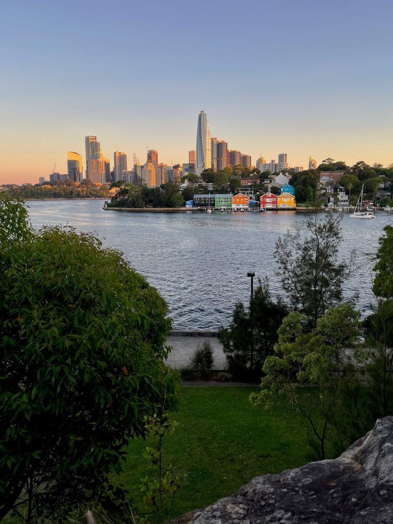
Today the park nods to its industrial past with a large sculpture making the site of the fuel depot’s largest tank. A walking track around the park offers up harbour views across to Balls Head and the Sydney Harbour Bridge.
There’s plenty of seating throughout the park, as well as BBQs, picnic tables, and shaded grassy lawns to sit, relax, and enjoy the view.
Camperdown Memorial Rest Park
| Location: | Access via Federation Rd, Lennox St, Church St, Newtown |
| Public Transport: | Train to Newtown Bus to King St, Newtown |
| Facilities: | Playground Drinking water fountains Toilets |
| Access-Friendly: | There is a paved path through the grass lawn of the park. |
This park in Newtown features shaded lawns, a playground, an off-leash dog area, and an historic cemetery behind a graffitied sandstone wall. The cemetery was created in 1848, and for a time, covered the entire space that is now a park.
Camperdown Memorial Rest Park provides a change of pace to that of nearby King St, and provides welcome green space in what is a densely populated area of Sydney’s inner west.
Sydney Park
| Location: | Access via Sydney Park Rd, Barwon Park Rd, Euston Rd |
| Public Transport: | Train to St Peters Bus to Sydney Park Rd |
| Facilities: | Bench seats and picnic tables Drinking water fountains BBQs Cafe Playground Skate park Sports facilities Fitness facilities Toilets |
| Access-Friendly: | There are paved paths and boardwalks to navigate various areas of the park. |
This enormous park in Sydney’s inner west has something for everyone. Explore the park on the paved pathways, have a picnic or BBQ, and enjoy the sports and fitness facilities. There’s a playground for the kids and large off-leash areas so you can bring your dog for a run around. Climb the hill at sunset to watch the sun go down over the city.
Parks in Western Sydney
Western Sydney Parklands
| Location: | Various, choose your access point from the parkland maps |
| Public Transport: | Train to Rooty Hill, Doonside, Quakers Hill |
| Facilities: | Picnic shelters BBQs Drinking water fountains Toilets |
| Access-Friendly: | Various facilities, access points, and pathways are accessible. Learn more. |
Western Sydney Parklands are the largest urban parklands in Australia, covering 5280 hectares and featuring over 70km of tracks and trails, including a portion of the Great West Walk.
The parklands stretch 27km across the Blacktown, Liverpool, and Fairfield local government areas. The Deerubbin, Gandangara and Darug peoples are the Traditional Custodians of the land.
The sprawling Western Sydney Parklands are home to a diverse range of activities including picnic areas, walking trails, mountain bike trails, cafes, bird watching, urban farming, children’s playgrounds, a waterpark, as well as both Sydney Dragway and Sydney Zoo.
Australian Botanic Garden Mount Annan
| Location: | Access via Narellan Road, Mount Annan |
| Public Transport: | Bus to Narellan Road outside the Garden (from Macarthur or Campbelltown Train Station) |
| Facilities: | Bench seats Picnic shelters BBQs Visitor Centre Cafe Playground Toilets |
| Access-Friendly: | There are paved paths throughout the gardens, wheelchair accessible toilets, and accessible parking bays to enter and exit the garden. |
The Australian Botanic Garden is located a 45 minute drive from central Sydney in Mount Annan. The garden is home to over 4000 species of plants, including many native Australian plants.
The cafe in the gardens is open daily, or you can pack your own picnic. An interesting feature of the garden is Sundial Hill where you can enjoy sweeping views of the surrounding landscape.
Parramatta Park
| Location: | Various access points around the park |
| Public Transport: | Train to Parramatta or Westmead (10 min walk) |
| Facilities: | Bench seats Picnic shelters BBQs Drinking water fountains Playgrounds Toilets |
| Access-Friendly: | Various facilities, access points, and pathways are accessible. Learn more. |
Located on the Parramatta River, Parramatta Park has long been an area of public recreation, having been established in 1858.
The park has BBQs available for use and plenty of space to enjoy a picnic. If you’re visiting with kids, there are playgrounds and plenty of shaded areas.
If you’re interested in history, the heritage listed Old Government House is located in Parramatta Park. It’s one of the oldest surviving public buildings in Australia and it can be toured for a small fee.
Parks in Sydney’s South
Carss Bush Park
| Location: | Access via Carwar Ave, Carss Park |
| Public Transport: | Bus to Princes Hwy or Carwar Ave alongside the park |
| Facilities: | Bench seats and picnic tables Picnic shelters BBQs Playground Cafe Toilets |
| Access-Friendly: | There are paved paths throughout the park. |
Carss Bush Park overlooks Kogarah Bay and is a scenic spot to picnic and swim. It has a netted swimming area, BBQs, picnic tables and shelters, a children’s playground, and a cafe too.
The park is home to the historic Carss Cottage, built in the 1865 and once home to the park’s namesake William Carss. Today the sandstone cottage is a museum which can be toured for a small fee.
Como Pleasure Grounds
| Location: | Access via Cremona Rd, Como |
| Public Transport: | Train to Como (18 min walk) |
| Facilities: | Bench seats Picnic tables BBQ Cafe Drinking water bubbler Playground Swimming pool Tidal baths Toilets |
| Access-Friendly: | There are paved pathways around the park. |
Set on the Georges River, you’ll find Como Pleasure Grounds on the southern end of the Old Como Bridge. Como Pleasure Grounds has long been enjoyed for public recreation, having been established in 1895.
Today Como Pleasure Grounds features a playground, BBQs and picnic tables, shaded areas, paved walking paths, and a cafe.
If you’re keen for a swim, Como Pleasure Grounds also has tidal baths on the river as well as a swimming pool, open seasonally, with free entry.
E.G. Waterhouse National Camellia Gardens
| Location: | Access via President Ave or Kareena Rd |
| Public Transport: | Train to Caringbah (16 min walk) Bus to President Ave, outside the gardens |
| Facilities: | Bench seats and picnic tables BBQs Cafe Playground Toilets |
| Access-Friendly: | Various facilities, access points, and pathways are accessible. Learn more. |
The E.G. Waterhouse National Camellia Gardens is located on Yowie Bay in Caringbah. The gardens began in 1970 and today provide a beautiful place to admire the blooms while enjoying a walk or a picnic. The Jade Teahouse is located in the gardens and offers a wide selection of teas among other menu items.


One Comment