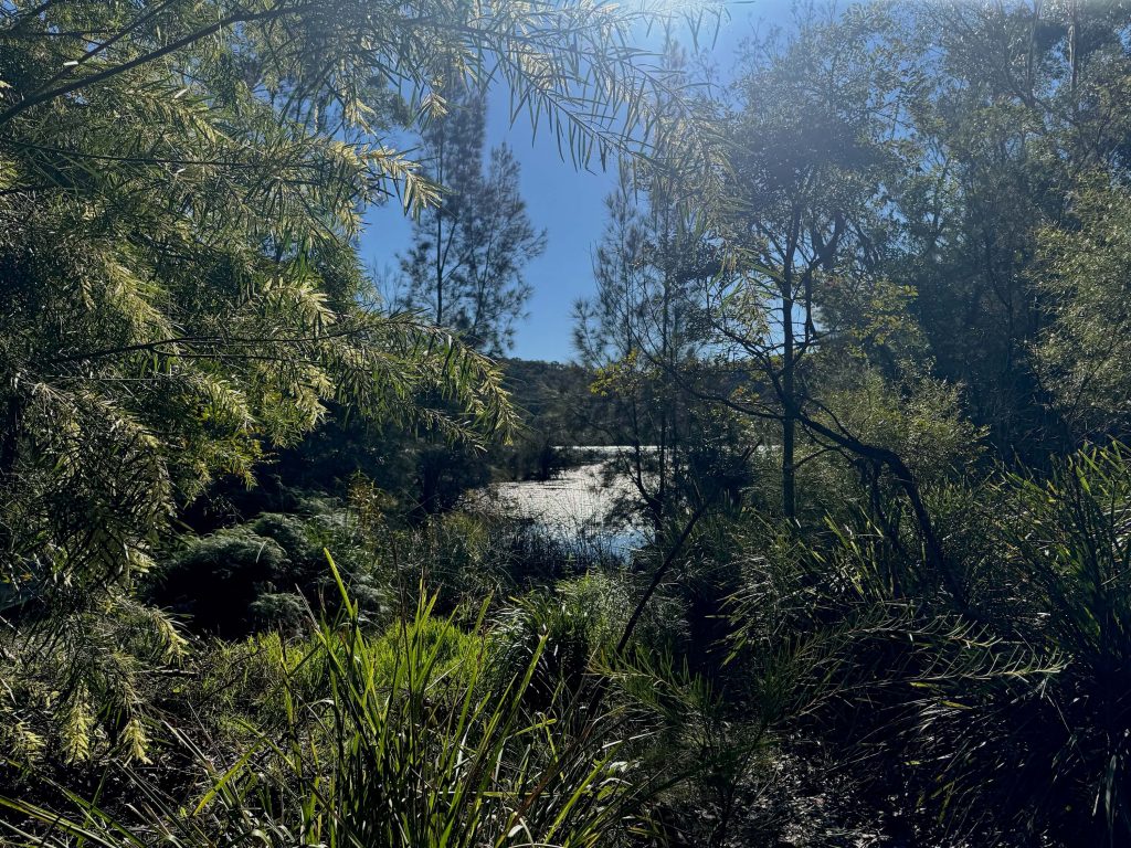
It’s one of the Northern Beaches best kept secrets according to the local council, and once you’ve spent some time at Manly Dam you’ll no doubt agree it’s a secret worth knowing.
Sydney is blessed with so much urban bushland and Manly Dam is a fine example. A great way to experience Manly Dam is on the Park Circuit Track, a walk that loops around the former dam, delivering scenic bushland and water views.
This is your guide to discovering Manly Dam for yourself with information about how to get there, what to look out for, and maps to guide your way.
| Distance: | 8km (or 10km including walk to and from the bus stop) |
| Start: | Loop; start nearest your transport option |
| End: | Loop; end nearest your transport option |
| Public Transport: | Bus on Kentwell Road, Allambie Heights (to Manly Wharf or Warringah Mall) |
| Water: | Drinking water fountains at Manly Dam picnic areas |
| Toilets: | Near Manly Dam playground |
| Top Tip: | Don’t miss the high vantage point on the north east side of the circuit track. |
Manly Dam Walk Overview
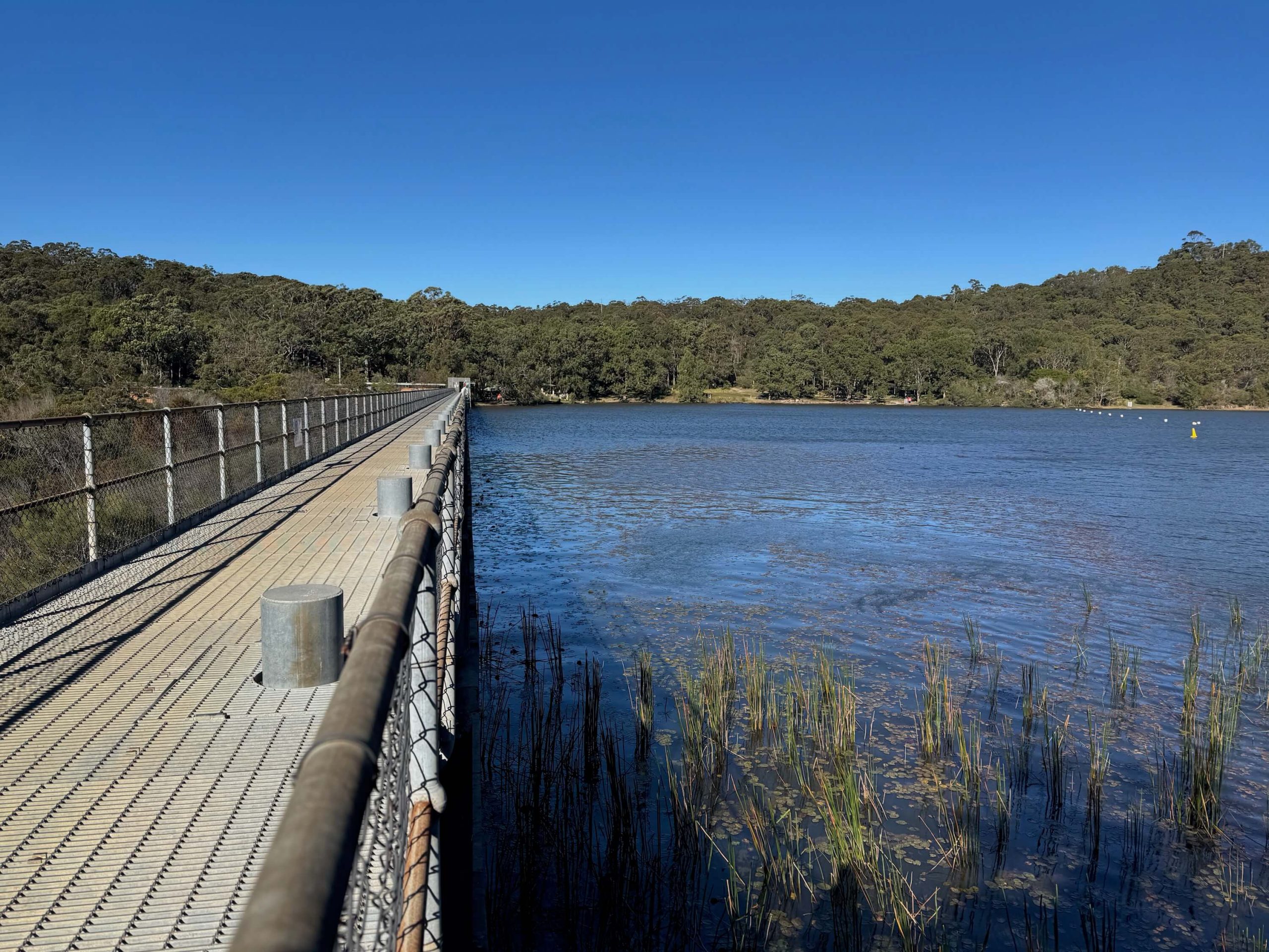
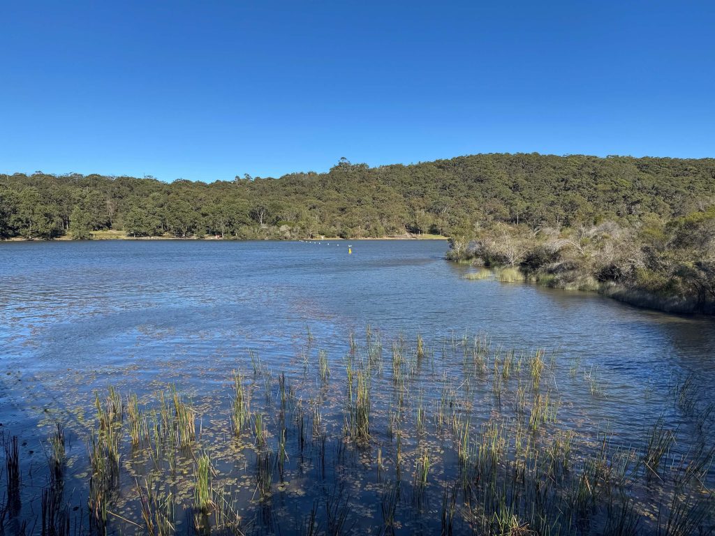
The Park Circuit Track at Manly Dam is a scenic walk through bushland close to Manly. The walk follows a loop around Sydney’s largest freshwater lake, formed more than a century ago when Curl Curl Creek was dammed to supply water to nearby Manly. The now disused dam is maintained as a heritage-listed site, surrounded by urban bushland making it a popular recreational area used for picnics, walks, and mountain bike rides.
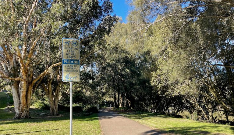
“Dogs are permitted on-leash under control on the tracks and trails in the bushland and are not permitted anywhere else in the bushland.”
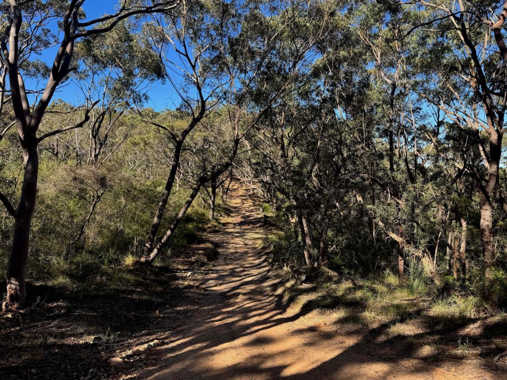
Manly Dam Walk Map
The Manly Dam loop walk follows clearly defined tracks. You can download a map of the route from AllTrails if you’d like a map you can walk with.
How to get to Manly Dam
If you’re planning on visiting Manly Dam to walk the loop track, you can reach the area by driving or taking the bus.
Public Transport
You can take a bus from Manly or Warringah Mall that will get you close to Manly Dam. Use Trip Planner to plan your route.
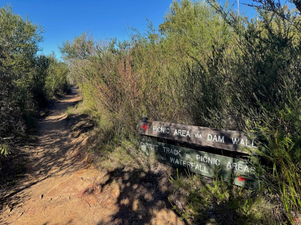
From Warringah Mall, take the 280 from the stop opposite the mall on Pittwater Road, alight at Kentwell Rd opp Allambie Rd. From there it’s a 20 minute walk to Manly Dam. Walk up Kentwell, turn left into Wandella. When you get near to the end of the Wandella (opposite Jenna Cl) there’s a track that runs up alongside the house closest to the bushland. Follow that and look for the Manly Dam trail signs that bring you to the dam wall. From there you can follow a loop around the lake.
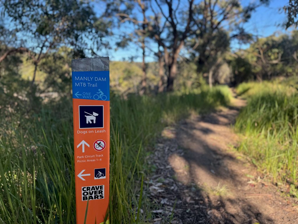
You can take a similar route if you’re coming from Manly. Take the 142 from Stand F on Belgrave St, alight at Kentwell Rd opp Allambie Rd and follow the same walking route described above and illustrated on this Google Map:
Driving
If you’re driving to Manly Dam, you’ll find the main parking spots by taking King St to Sir Roden Cutler V.C. Memorial Dr which connects with the picnic areas and car parks alongside the dam and walking track.
Facilities
There are toilet blocks and drinking water fountains close to the loop track at Manly Dam. There are a couple of cafes located nearby on Kentwell Road. For other shops, you’re best to pick up what you need in Manly.
Cafes & shops
Looking for cafes and shops close to Manly Dam? There are grocery stores at both Warringah Mall and in Manly. For cafes closer to Manly Dam, you’ll find Split and Kerrie’s Cafe on Kentwell Rd near the bus stop.
Toilets
There are toilet blocks located near picnic areas at Manly Dam.
Drinking water
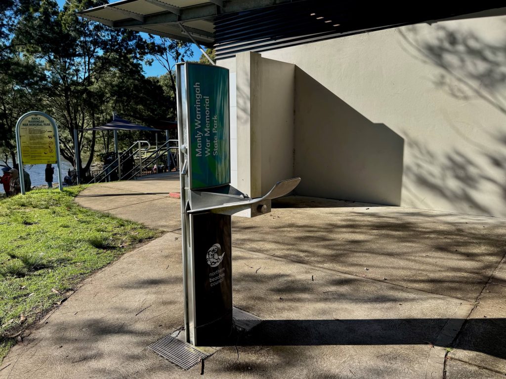
If you bring your water bottle you’ll be able to refill it at one of the drinking water fountains at the picnic areas at Manly Dam.
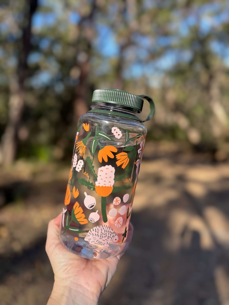
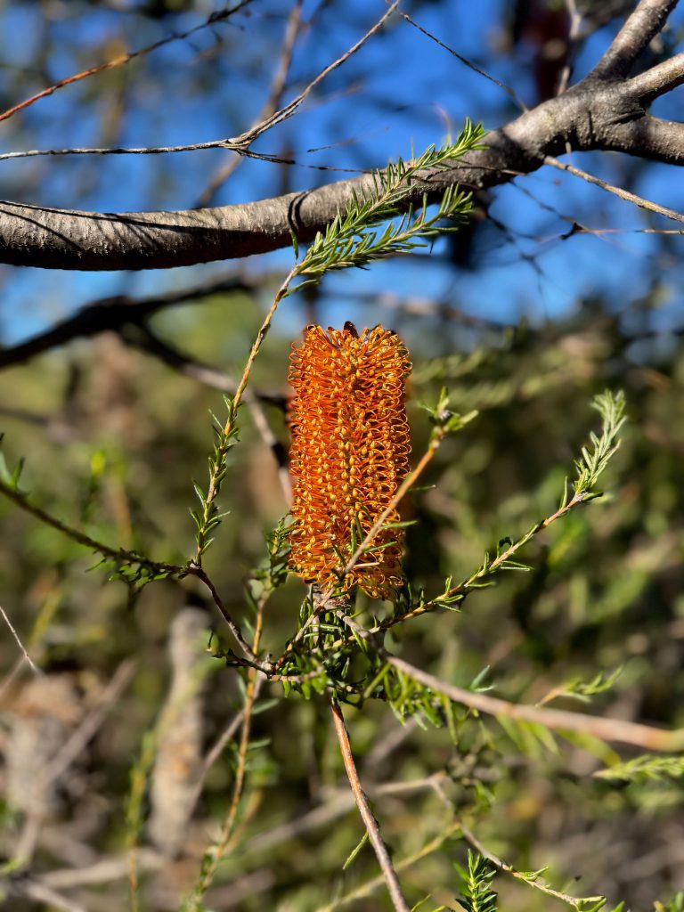
Manly Dam Highlights
The bushland of Manly Dam War Memorial State Park makes you feel like you’ve left the city behind, despite being so close to Manly and the residential streets of Allambie Heights and Manly Vale.
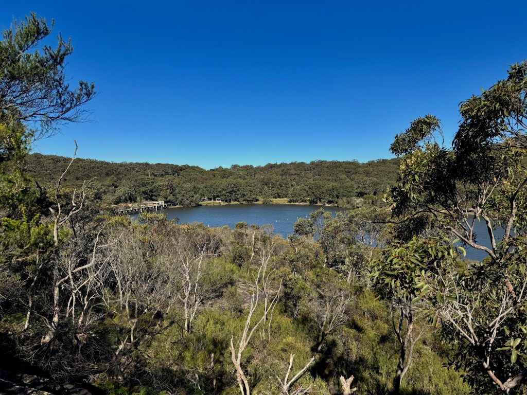
Manly Dam Heritage
Manly Dam was created in 1892 to supply fresh water to Manly. It operated until 1930 when population growth meant the dam’s capacity was insufficient. Manly Dam was briefly reinstated as a supplemental water source during a period of drought in 1942. Today, Manly Dam is heritage-listed and the surrounding bushland is a popular recreational area.
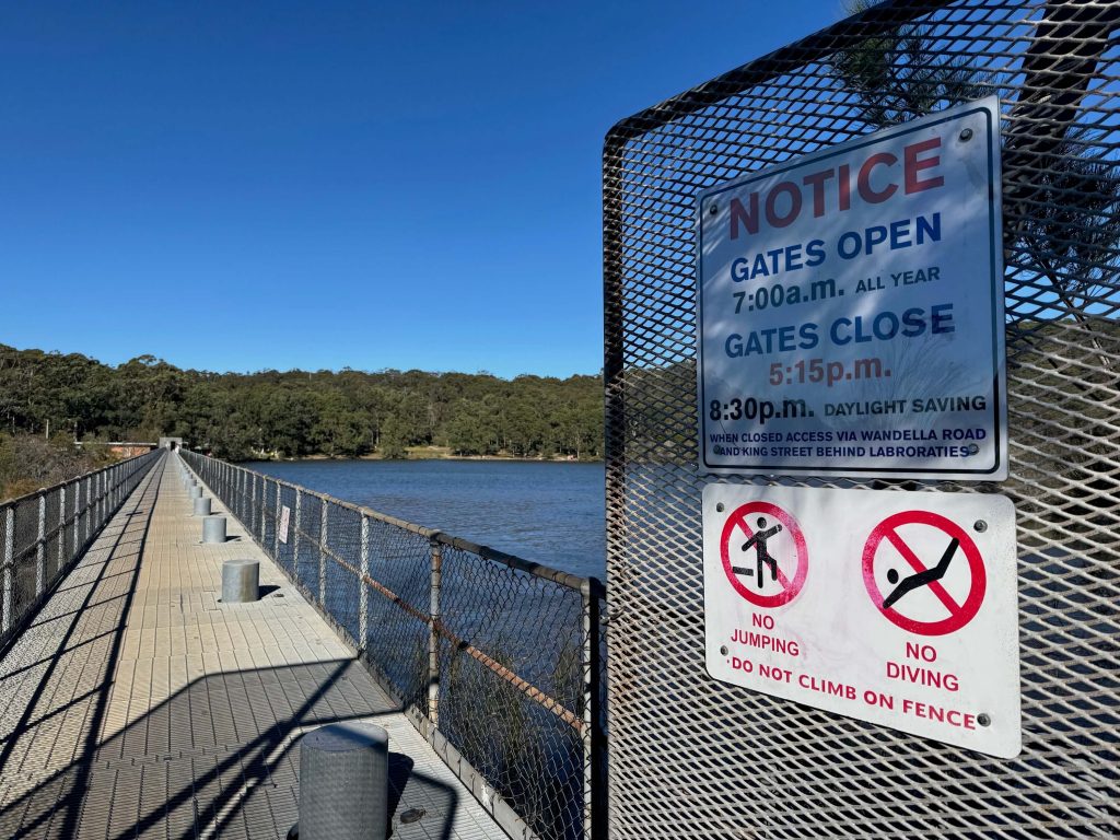
“The dam is a relic of the period when the northern beaches were remote from the major areas of settlement in Sydney, prior to the opening of the Sydney Harbour Bridge.”
Manly Dam War Memorial State Park
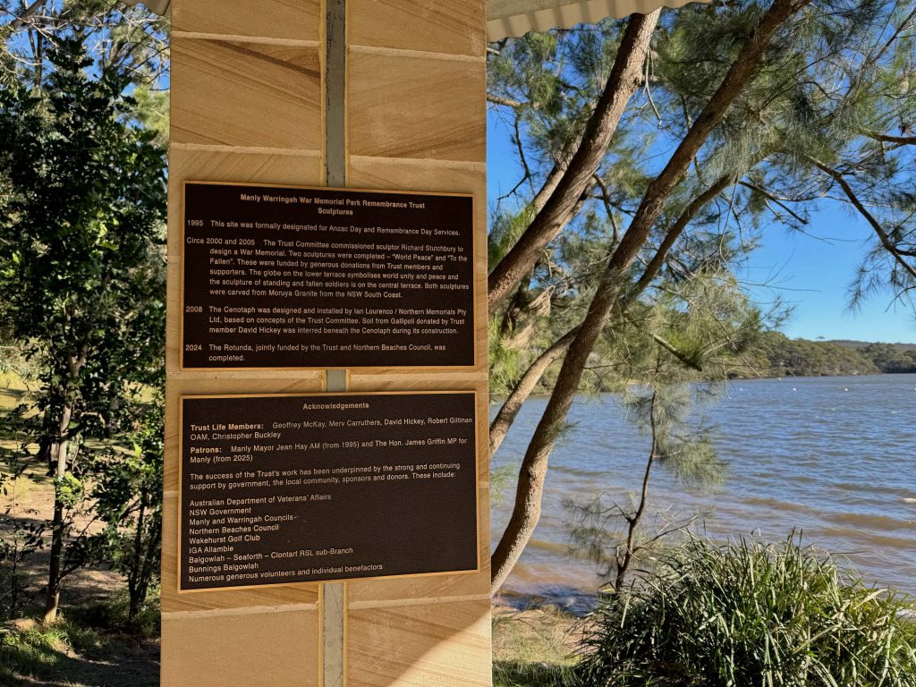
The Manly Dam War Memorial State Park is the formal name for the Manly Dam precinct which includes a memorial park and monuments honouring “all who gave their lives, served or are serving Australia in the armed forces, civil support services and those who strive for world peace”, as well as surrounding bushland, walk and bike tracks, picnic areas, and heritage-listed reservoir.
Picnic Areas
At Manly Dam there are a number of picnic areas with picnic tables, BBQs, water views, and swimming access. One of the picnic areas is alongside a children’s playground. If you’re planning a group gathering, you might like to plan ahead by booking a table at a picnic area.
Bushland and Boardwalks
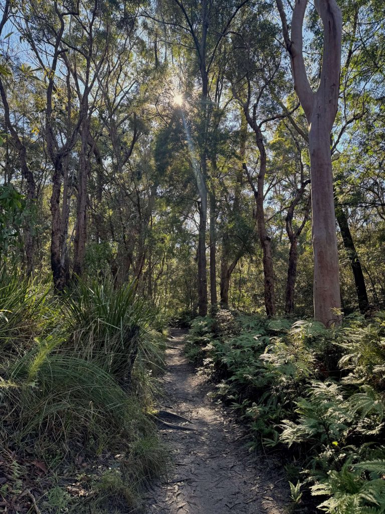
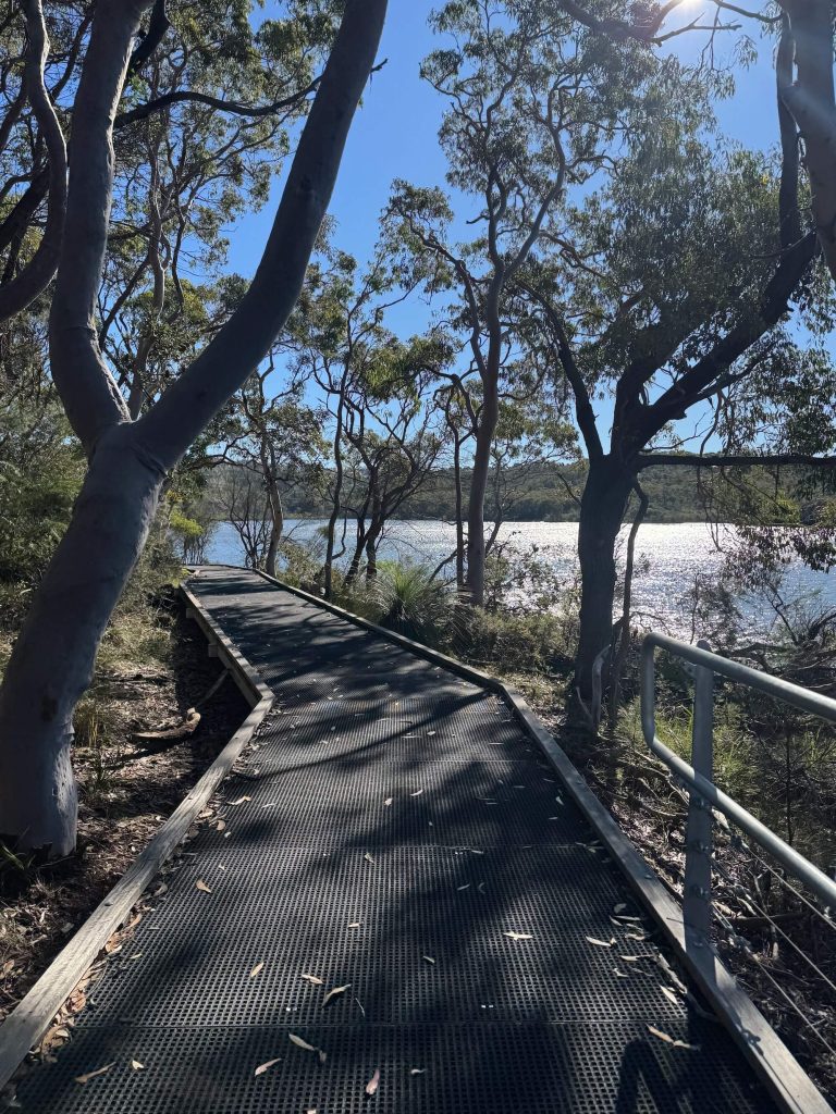
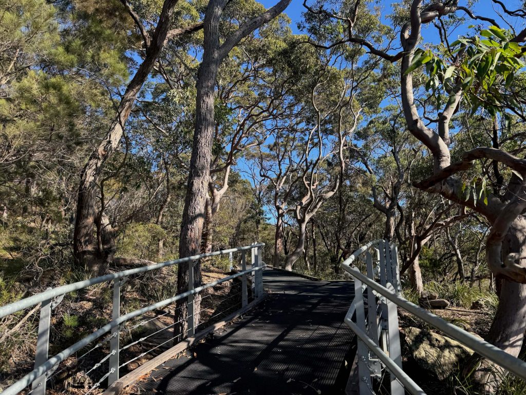
The bushland at Manly Dam has both walking and mountain biking tracks you can follow to get acquainted with the area. Investment by the local council into areas of elevated boardwalk at the dam support improved accessibility while simultaneously providing scenic vantage points and protection for the environment.
If you keep an eye and ear out as you make your way around Manly Dam, you might spot some of the animals known to inhabit the area including Ringtail Possums, Swamp Wallabies, and Short Beaked Echidnas. And when it comes to birds, 80 species have been observed here — from Kookaburras and Rainbow Lorikeets to Superb Fairywrens, Australian Wood Ducks, and so many more. There’s also frogs and plenty of reptiles about including snakes, lizards, skinks, and turtles… plus, the dam itself is home to both native and non-native fish.