The Patonga to Wondabyne section of the Great North Walk is a rewarding day hike covering around 20km of incredible coastal vistas, bushland tracks, and, come spring, Waratahs and wildflowers.
Located in Brisbane Water National Park, about an hour or so from central Sydney, this day hike comes with a ‘choose your own adventure’ style start.
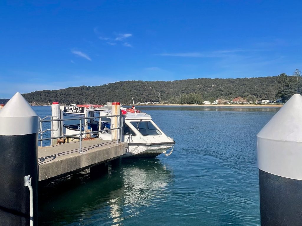
You can make your way directly to the starting point at Patonga by bus from the Central Coast, or take the scenic route with a train to Hawkesbury River Station and a water taxi across to Patonga.
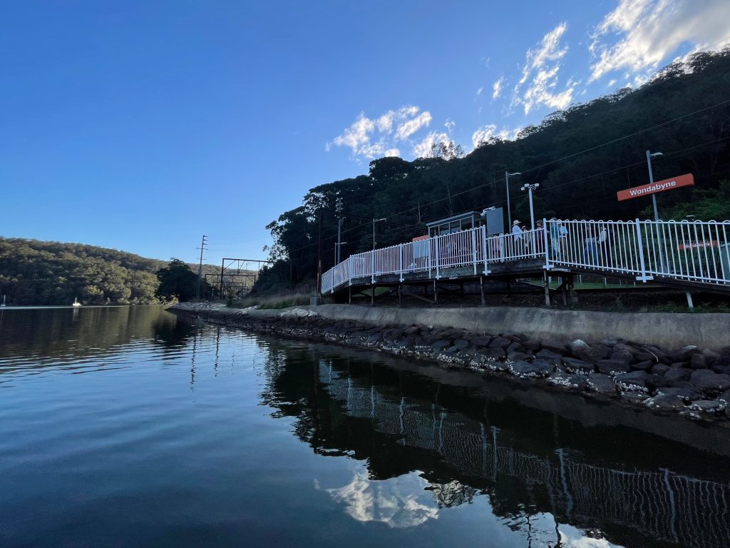
At the other end of this Great North Walk day hike you’ll find yourself flagging down a train from Wondabyne. Located on the edge of Mullet Creek, the remote and scenic finish at Wondabyne Station is just one of the highlights of this day walk from Patonga.
| Distance: | ~20km |
| Start: | Patonga via Hawkesbury River |
| End: | Wondabyne |
| Public Transport: | Train at Hawkesbury River Water Taxi from Hawkesbury River to Patonga Alternative: Train to Woy Woy, then bus to Patonga Train at Wondabyne |
| Water: | Bring what you need |
| Toilets: | Drop toilet at the base of Mount Wondabyne near the bush campground |
| Top Tip: | Do this walk during spring to enjoy the Waratahs and wildflowers |
Patonga to Wondabyne Walk Overview
First things first: yes, this day hike is located on the Central Coast. However, given its proximity to Sydney, it earns a write up here on Sydney Outdoors.
The walk between Patonga and Wondabyne follows a section of the Great North Walk, which is a 250km track between Sydney and Newcastle.
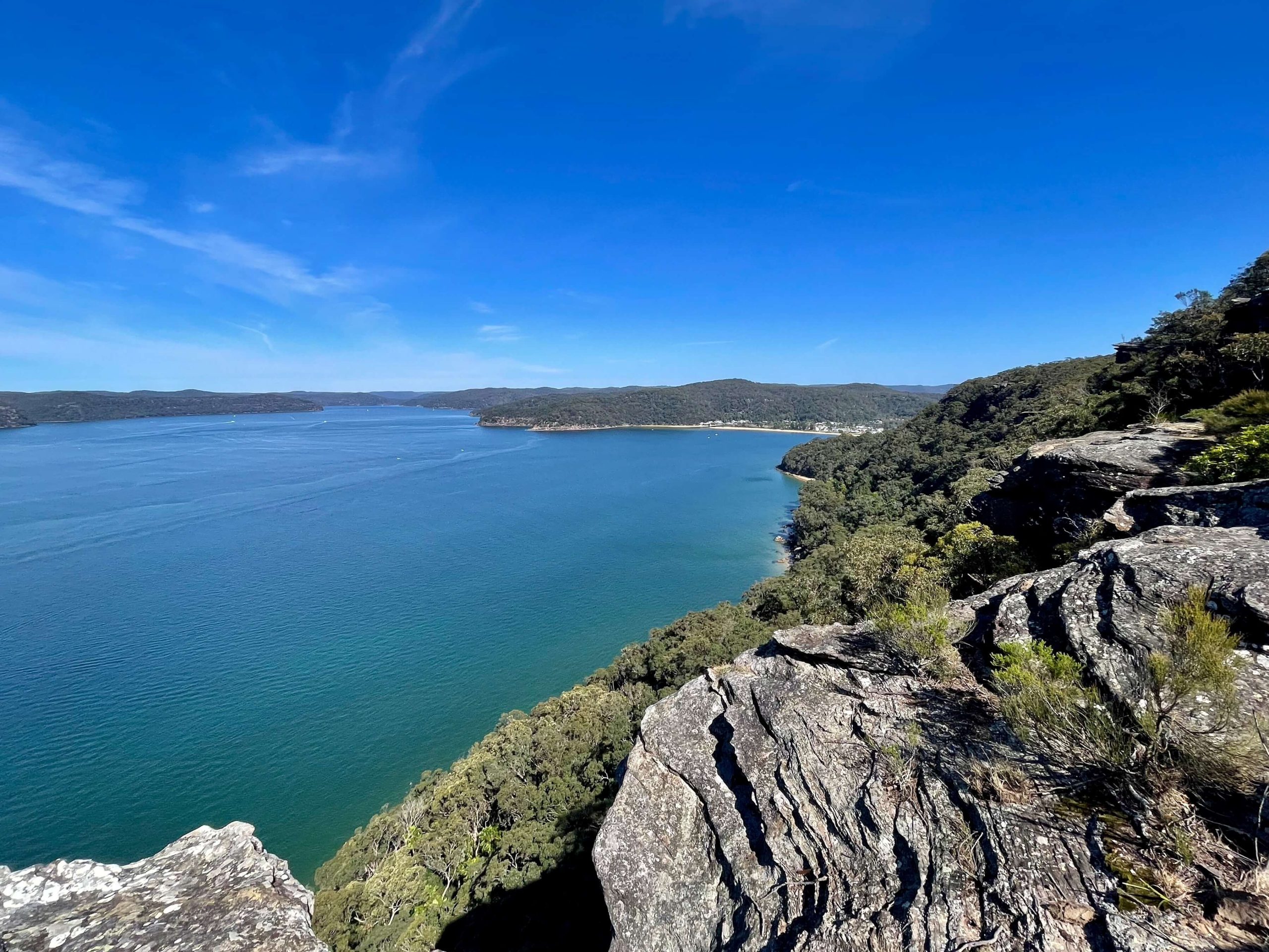
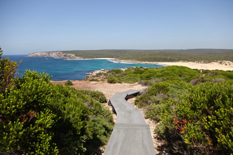
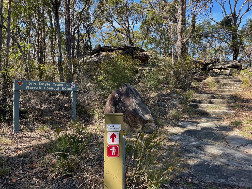
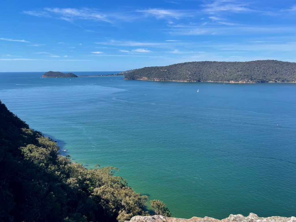
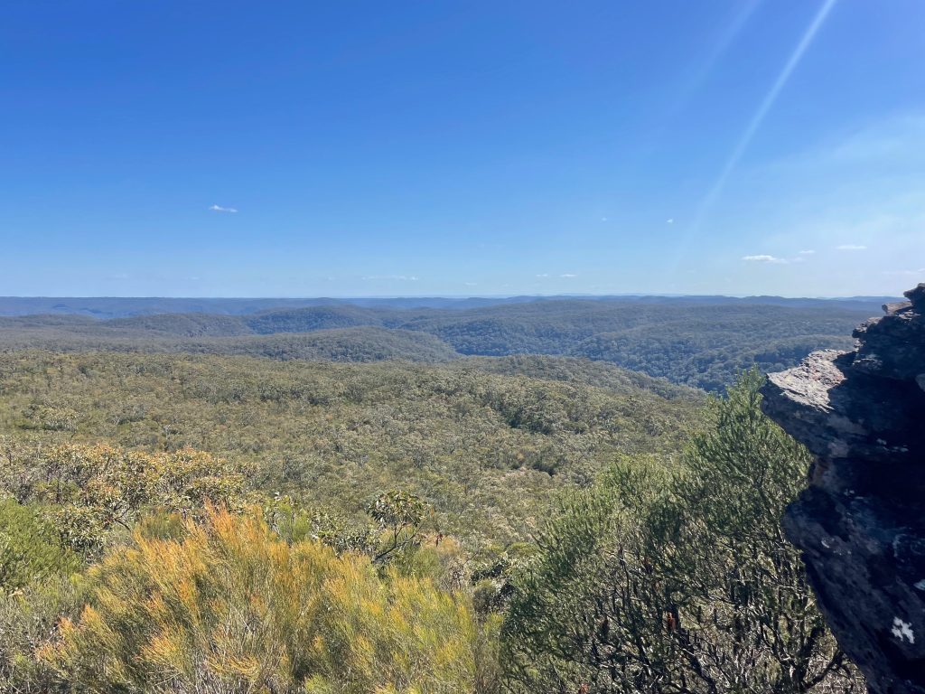
From its starting point, you’ll climb up off Patonga Beach and enter the bushland of Brisbane Water National Park. While the walk does start with an ascent, your efforts are rewarded with two lookouts in the first 2km of the walk. The first, an informal and unfenced view across Broken Bay, the second, a fenced view from Warrah Lookout offering a sweeping vista from Patonga and across to Barrenjoey Head.
The walk from Patonga to Wondabyne continues onward to Warrah Trig and, if you’re walking in spring, Waratahs along Warrah Trig Road. You’ll reach a worthy side trip at around the half way point of the walk when you reach the base of Mount Wondabyne. From the top of Mount Wondabyne you’ll get a 360 degree view, and there’s some shade too so it makes for a great spot for lunch with a view.
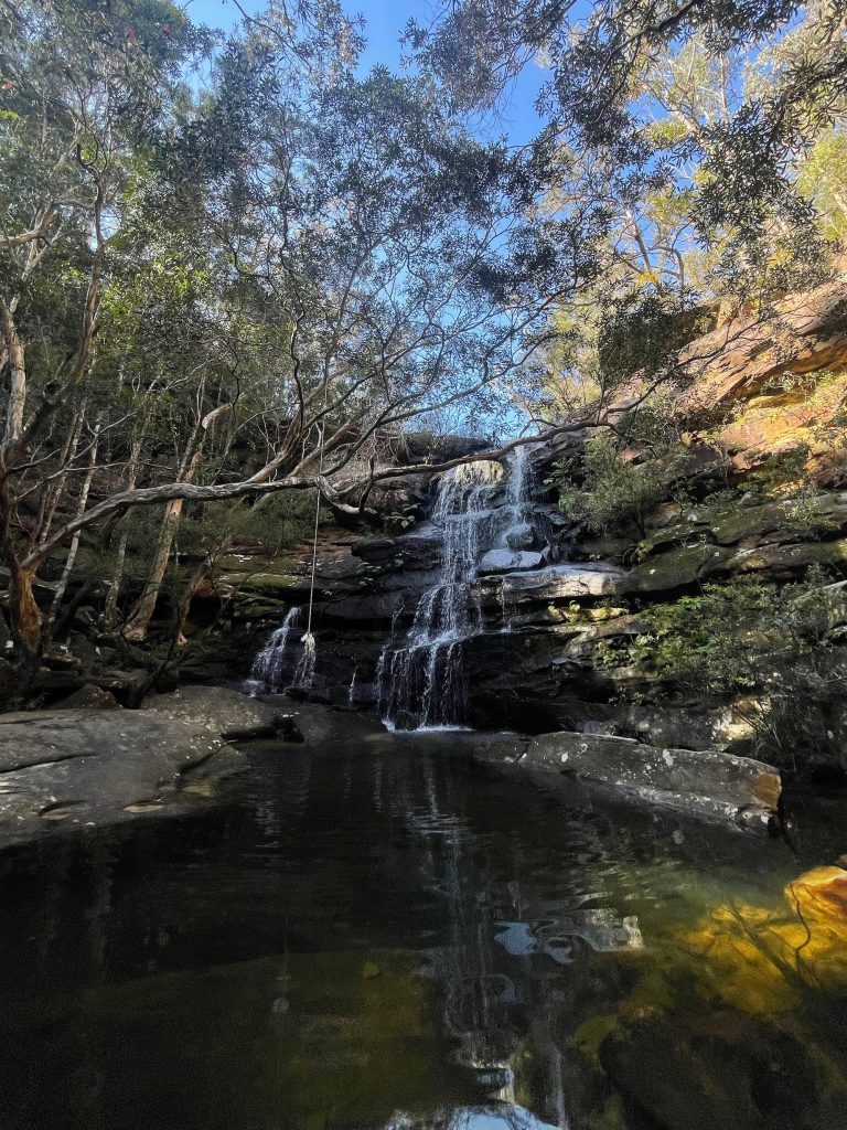
The second half of your walk carries on through the bush, with a descent into the coolness of the valley where you’ll find Kariong Brook Falls before climbing back up the valley and onward toward Wondabyne. The walk ends with a final descent to Wondabyne Station on the edge of Mullet Creek.
Maps & Navigation
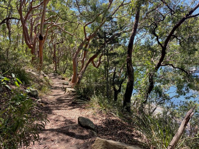
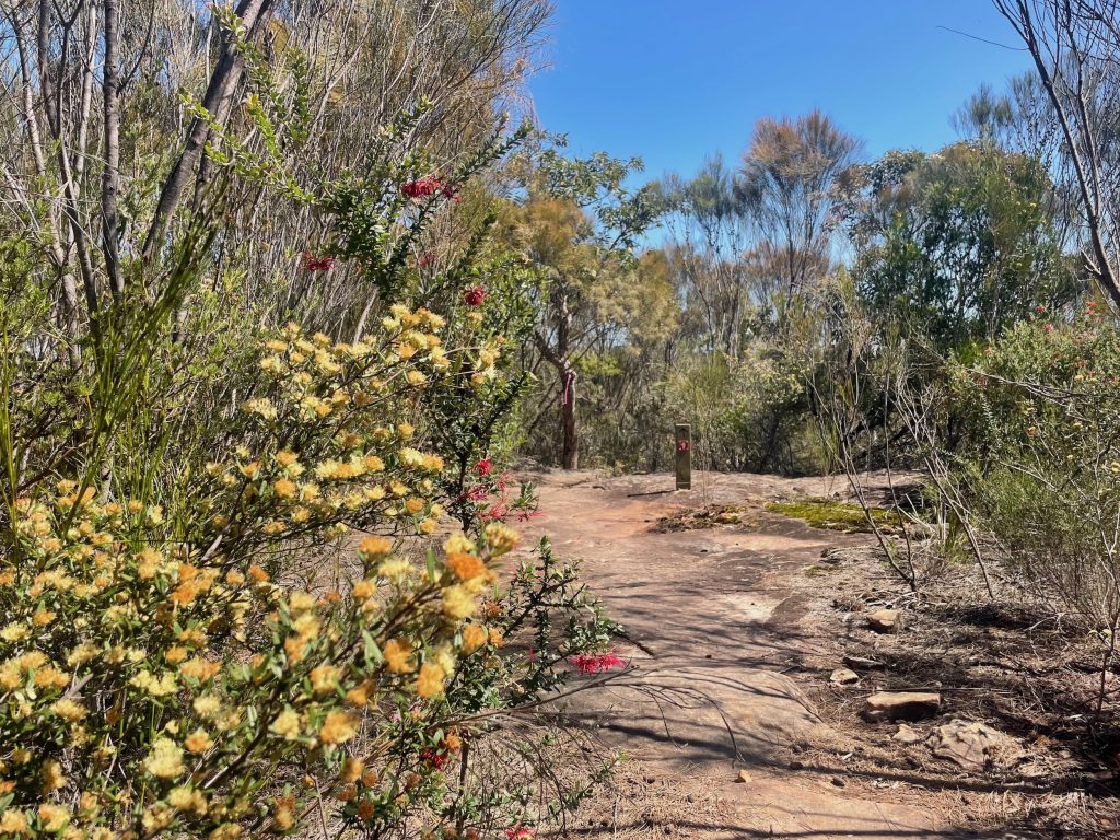
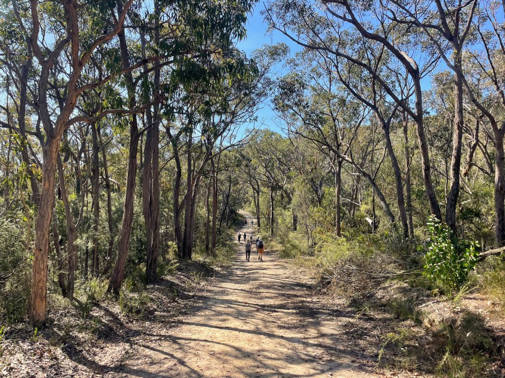
The walk between Patonga and Wondabyne follows a section of the Great North Walk and is well marked with Great North Walk and National Parks signs along the length of the track.
As you prepare for your walk from Patonga to Wondabyne, you can familiarise yourself with the route by reviewing the map and reading the track notes on Wild Walks. You’ll also find the route on AllTrails. And there is general information available on the NSW National Parks website.
Facilities
The walk between Patonga and Wondabyne is through national park. You’ll find facilities at Brookyln on the Hawkesbury River and in Patonga, but beyond that you’re traversing bushland and should prepare to be self-sufficient.
Cafes
There is a cafe near Hawkesbury River train station and one at the marina. If you’re at Hawkesbury River later in the day, you’ll also find a few fish and chip shops as well as a pub menu for lunch and dinner at Anglers Rest. Over at Patonga, you’ll find The Boathouse Hotel with a pub style menu for lunch and dinner plus a kiosk available for takeaway breakfast.
Drinking Water
You should carry the water you need for this walk (at least a few litres).
Toilets
There are toilets at Hawkesbury River train station and public toilets near Hawkesbury River Marina. You’ll also find a drop toilet at the base of Mount Wondabyne near the bush campground.
How to get to the walk
If you’re travelling to the Patonga to Wondabyne walk from Sydney you have two main options for getting to the start of the track at Patonga:
You’ll finish your walk at Wondabyne train station on Mullet Creek. To get the train from Wondabyne, make sure you’re on the correct platform. The platform closest to the water is for travelling towards Sydney, the one nearest the bush travels in the direction of the Central Coast and Newcastle. When you see the train approaching, give the driver a wave to indicate you’d like to board (the train only stops at Wondabyne when required).
If you’re starting your walk at Wondabyne, you’ll need to travel in the rear carriage and let the guard know in advance that you plan to alight at Wondabyne. There’ll be on-board announcements to this effect. Because of the short length of the platform at Wondabyne, you’ll exit through the rear door of the last carriage.
Patonga to Wondabyne Highlights
The walk between Patonga and Wondabyne has plenty of highlights from its start on the foreshore at Patonga, to the views from Warrah Lookout and Mount Wondabyne, the beautiful Kariong Brook Falls, and of course the novelty of Wondabyne train station. You’ll enjoy extra benefits if you walk Patonga to Wondabyne during spring when Waratahs and wildflowers dot the bushland.
Patonga Beach
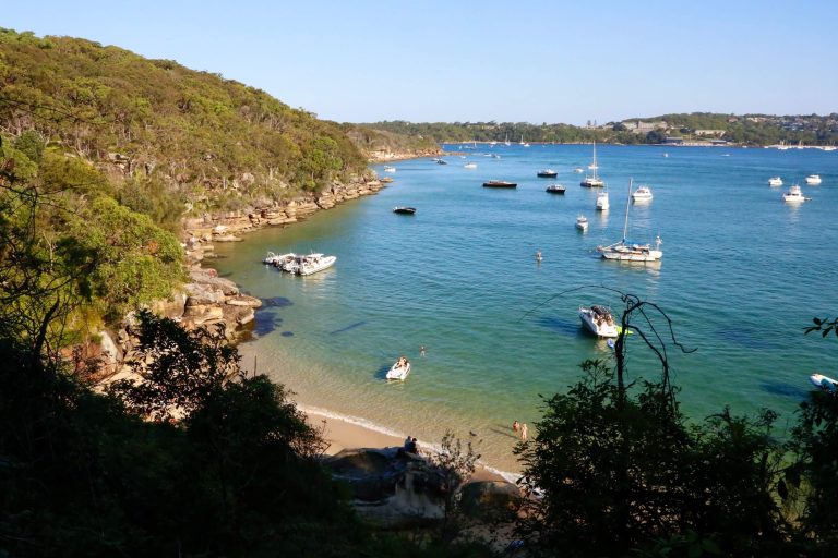
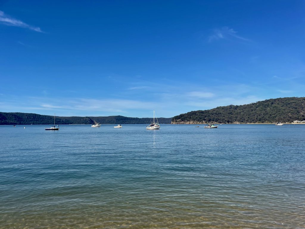
You’ll start your walk on the water’s edge at Patonga. Enjoy the tranquil views across the bay as you make your way to the end of the foreshore to join the track into Brisbane Water National Park.
Warrah Lookout
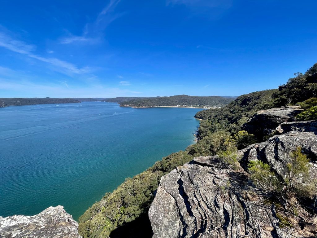
From Warrah Lookout you’ll really be able to get your bearings.
Located just a couple of kilometres into your walk, from Warrah Lookout if you look right, you can see where you came from at Patonga, while looking left you’ll spot Barrenjoey Head at the far end of the Northern Beaches.
Waratahs and wildflowers
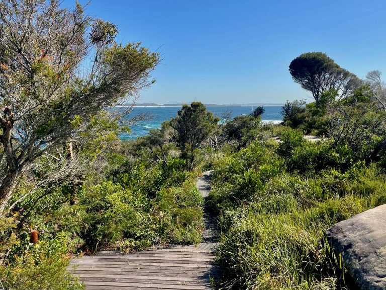
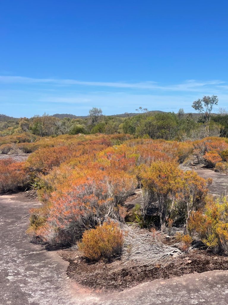
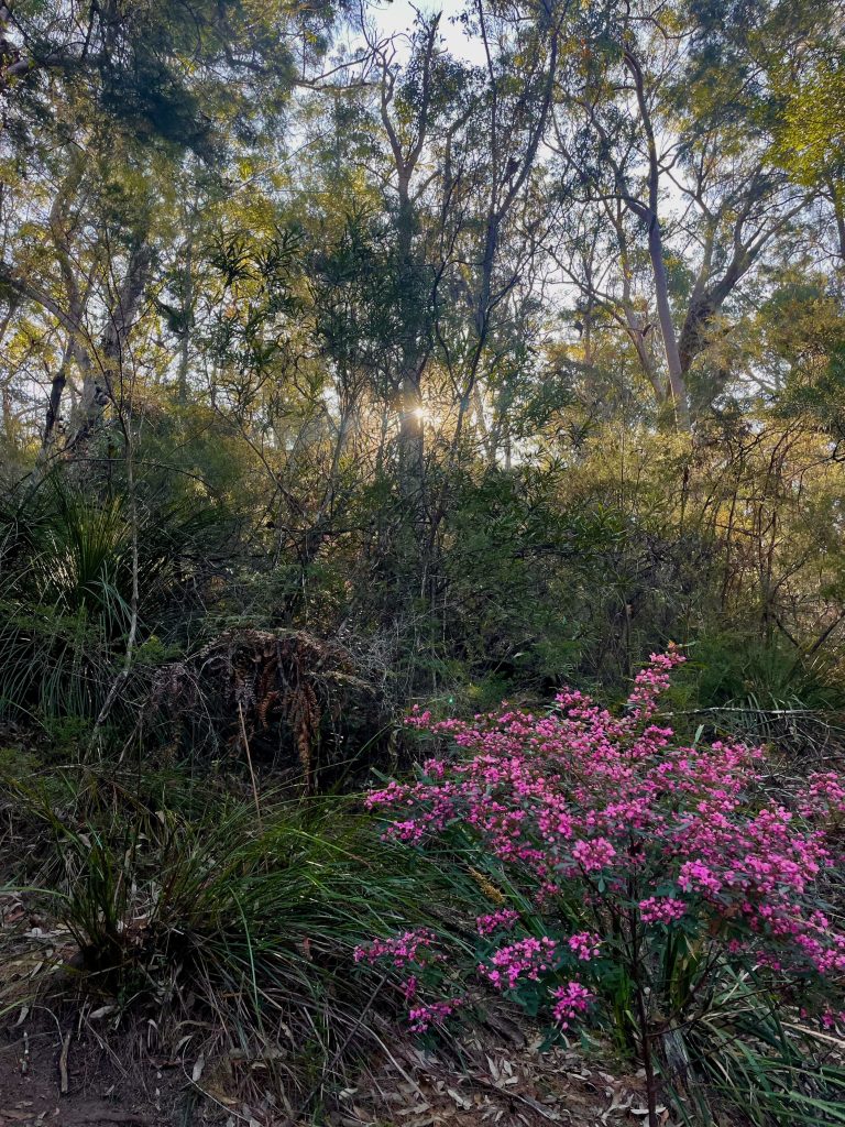
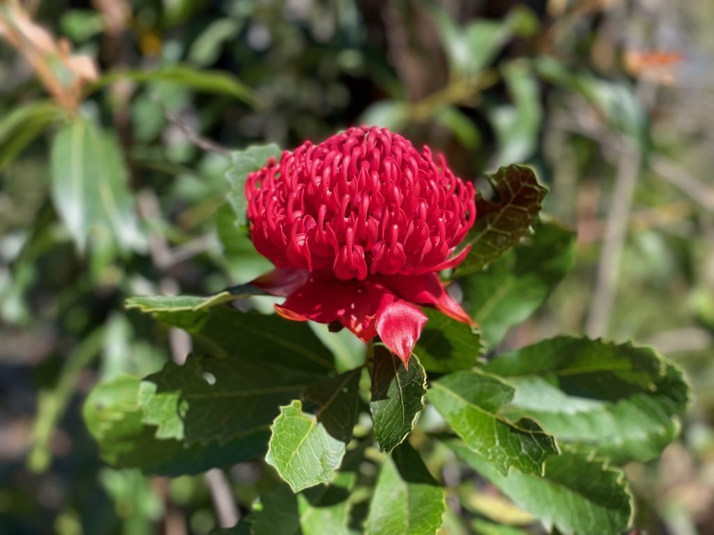
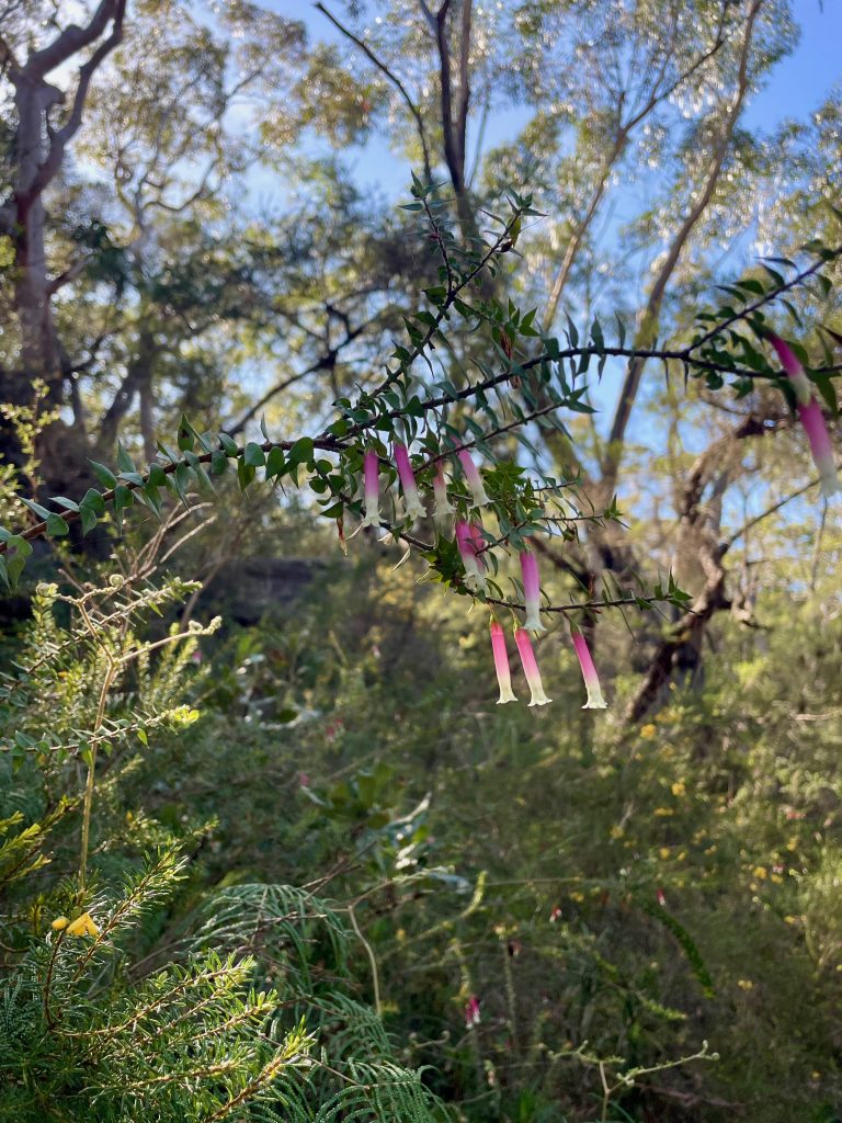
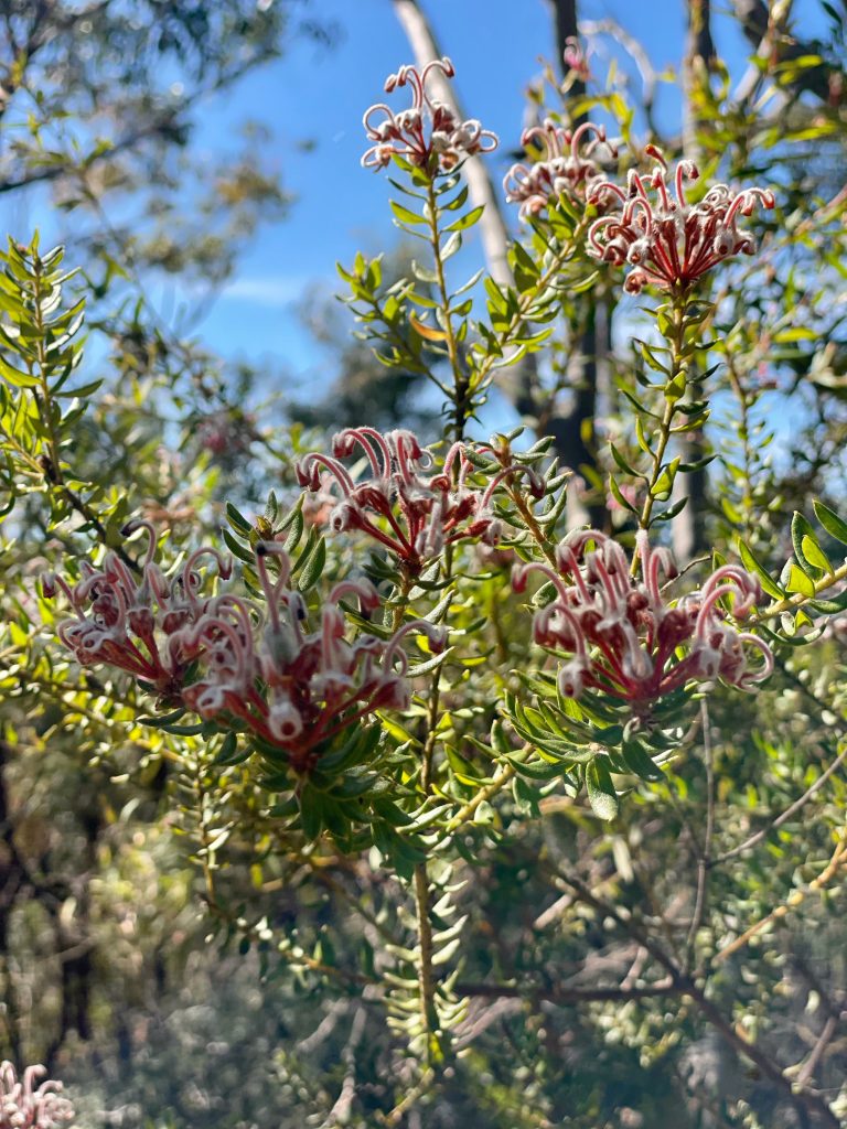
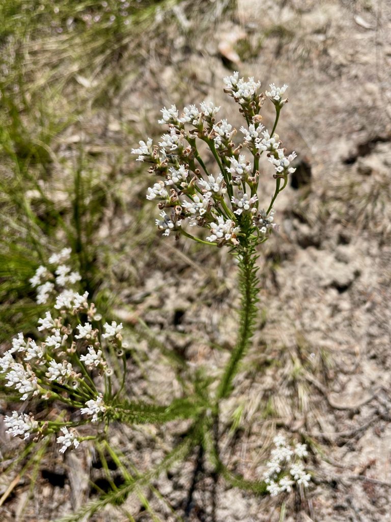
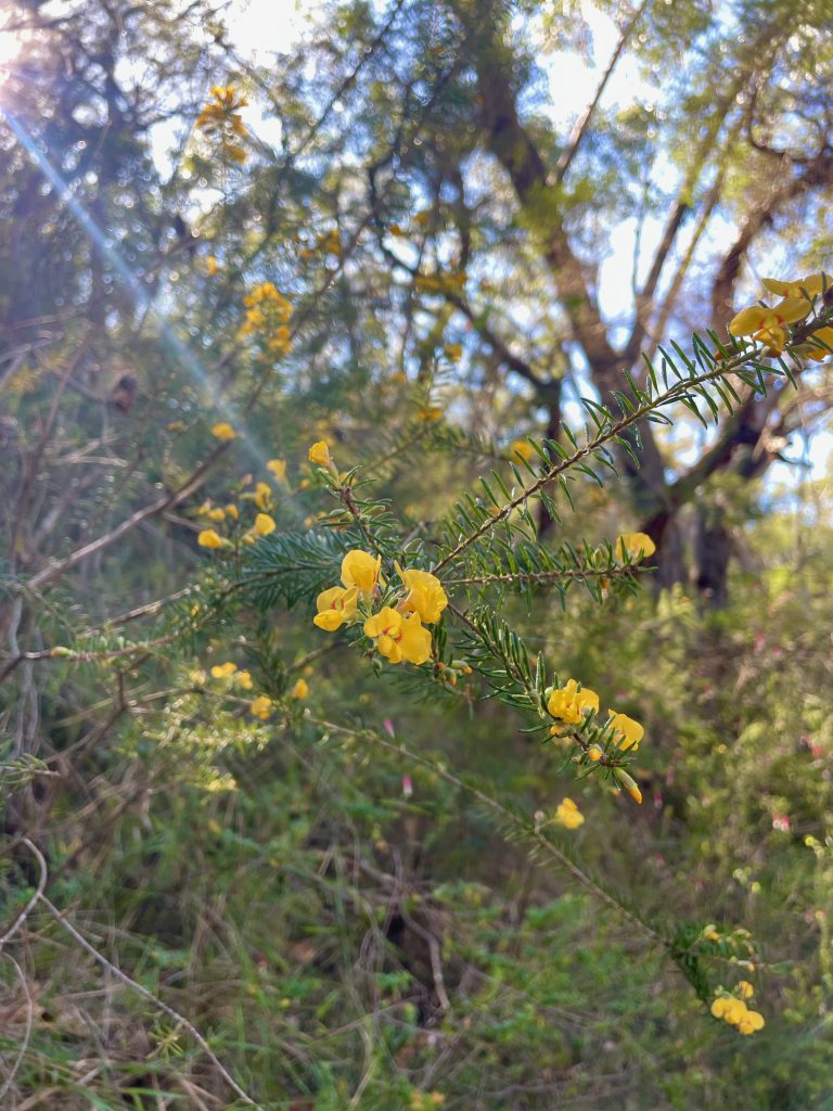
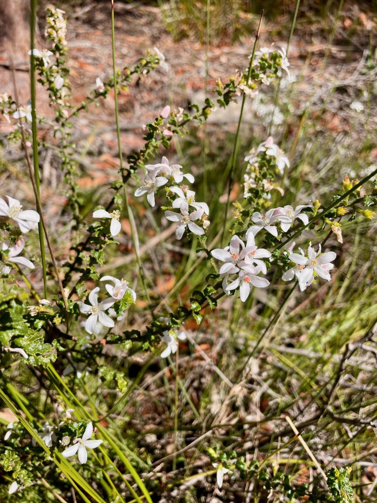
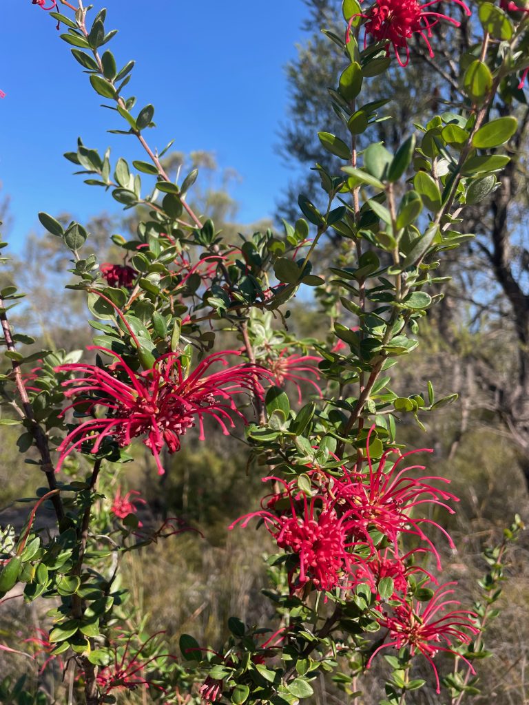
A real highlight of the Great North Walk between Patonga and Wondabyne are the Waratahs and wildflowers you can spot during spring. The section along Warrah Trig Road features Waratahs while wildflowers can be enjoyed in many areas of bushland throughout the walk.
Mount Wondabyne
Ideally positioned a bit over the halfway point of the walk between Patonga and Wondabyne is Mount Wondabyne. At the base of Mount Wondabyne is a bushcamp and a pit toilet.
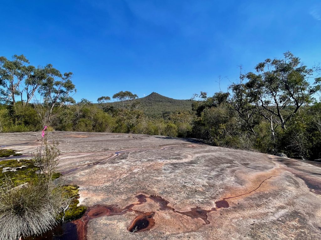
The short, steep climb up Mount Wondabyne is a side trip off the main Great North Walk route and a great spot for a lunch break and rest top as you enjoy 360 degree views of the surrounding national park and Central Coast.
When you come down off Mount Wondabyne, you’ll rejoin the Great North Walk. After a half hour or so of following the track, if you look over your shoulder you’ll score views back at Mount Wondabyne in the distance.
Kariong Brook Falls
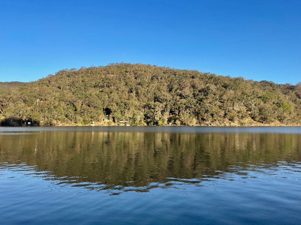
Kariong Brook Falls is a pretty waterfall in Brisbane Water National Park. To reach the falls, you’ll follow the track down into the shaded cool of the valley. The onward journey is a sharp climb up and out of the valley as you carry on towards Wondabyne station.
Wondabyne Station
The walk from Patonga to Wondabyne finishes up at Wondabyne train station. Remote and scenic, the station is a stop on the railway line between Sydney and Newcastle and is inaccessible by car. In fact, it’s said to be the only station in all of Australia that is inaccessible by car.
The railway station, located within what is now national park, was originally opened in 1889 as Mullet Creek Station at a location close to the current Wondabyne Station.
Its place on the edge of Mullet Creek is a fact that dismayed a reporter for The Evening News who described the route as a “monstrous piece of engineering stupidity” in a piece published in the months before the section of railway opened. The 1889 reportage called the decision to not cross the Hawkesbury higher up the river a “mistake”, worrying the embankments along Mullet Creek would not withstand the weight of passenger trains.
Thankfully, works to maintain the railway have ensured continued access to the station via boat and the nearby walking tracks to this day.
