Buses and ferries and trains, oh my! Thanks to Sydney’s abundance of walking tracks together with the not-so-shabby public transport network, there are plenty of fun day walks you can get to without having to b̶a̶t̶t̶l̶e̶ S̶y̶d̶n̶e̶y̶ t̶r̶a̶f̶f̶i̶c̶ drive.
Whether you’re after epic beach scenes, harbour views, a bit of urban walking, or an escape into bushland, Sydney has a day walk to suit your adventure style.
These 14 day walks are some of Sydney’s best and you can reach all of them via public transport. So pull on your walking shoes and day pack, and don’t forget your Opal Card — it’s time to hit the trails.
Sydney Walks Near Public Transport Map
The map below includes the Sydney walks in this post except for Bondi to Manly and the Great West Walk. For more information including maps to complete these longer Sydney walks, please see Bondi to Manly walk information here and Great West Walk information here.
Spit to Manly
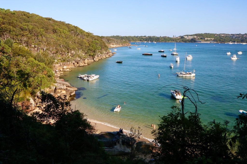
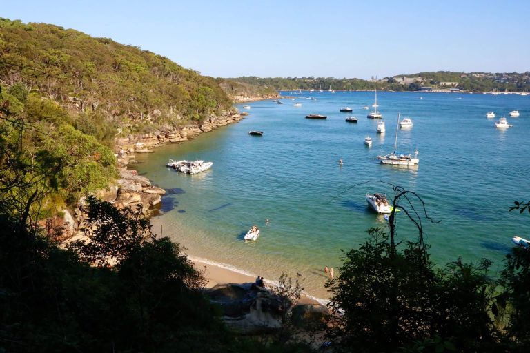
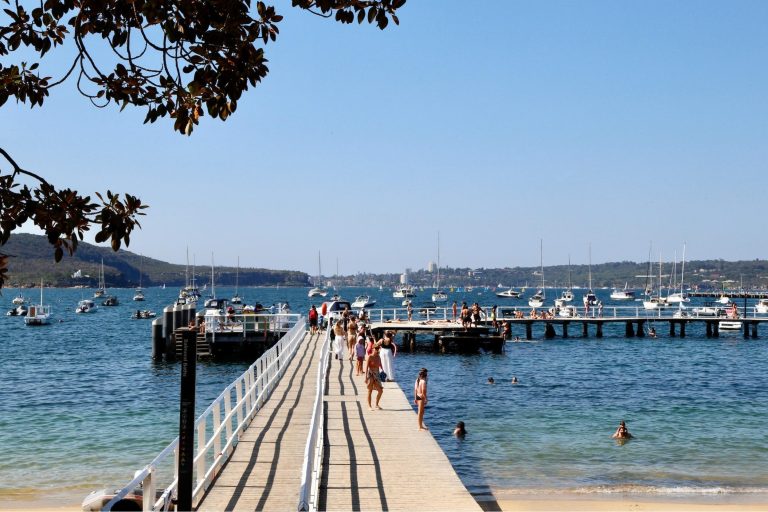
One of Sydney’s most popular day hikes, Spit to Manly is a walking track that passes lots of places to swim including harbour beaches like Castle Rock and ocean pools like the one alongside Fairlight Beach.
Location:
Sydney’s North Shore and Northern Beaches.
Distance:
10km point-to-point.
Nearest public transport:
Facilities:
Do it for:
Mid-hike swims at harbour beaches and ocean pools, harbourside bushland and scribbly gums, plus sensational Sydney Harbour views the entire way along.
Bondi to Manly
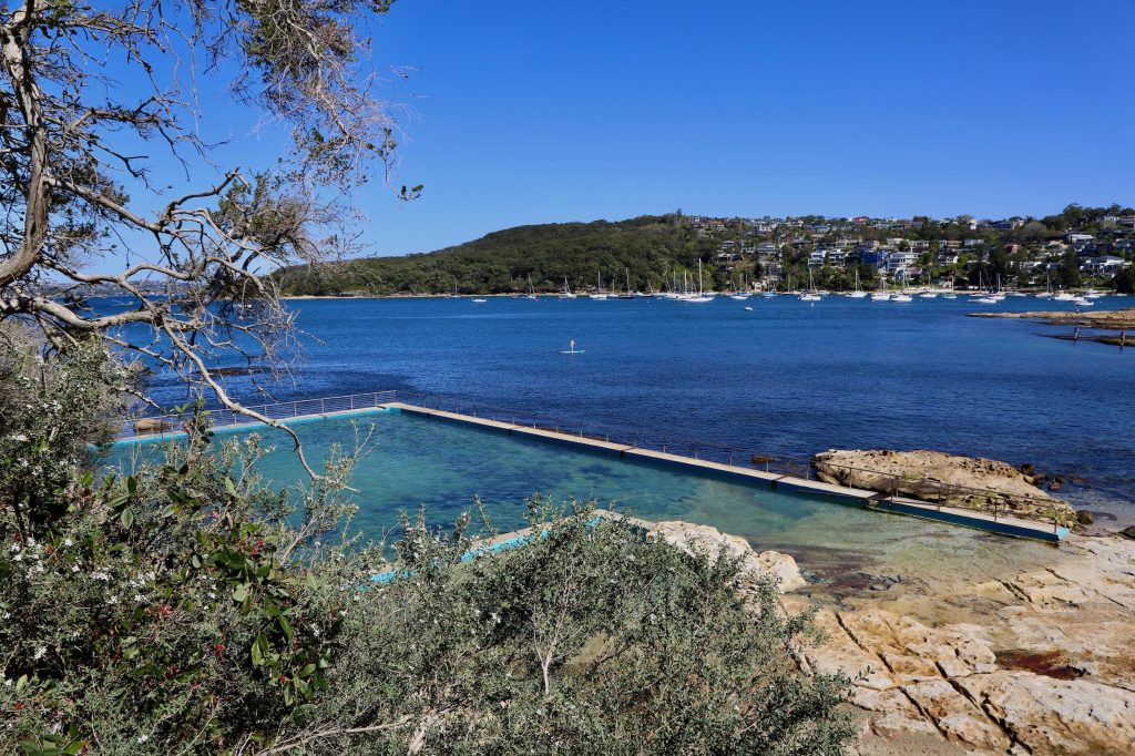
Alrighty, this one is being allowed to slip through despite it not being a ‘day hike’ (unless you’re an ultra runner). The Bondi to Manly walk is done over a minimum of 2 days when walking but its such an iconic Sydney walk and so easily accessible by public transport it really does deserve a mention. Whether you walk the entire distance or pick a section, the Bondi to Manly walk is a great option when you’re looking for a Sydney walk near public transport.
Location:
Sydney’s beach and harbourside destinations between Bondi in the eastern suburbs and Manly on the Northern Beaches, via Circular Quay in central Sydney.
Distance:
80km point-to-point.
Nearest public transport:
Facilities:
Do it for:
The challenge of an 80km hike, and the variety of scenes from cliff top escarpments, to hidden harbour beaches, tiny parks, rugged headlands, coastal bushland, and quiet streets lined with Bentleys and waterfront mansions.
Bondi to Coogee
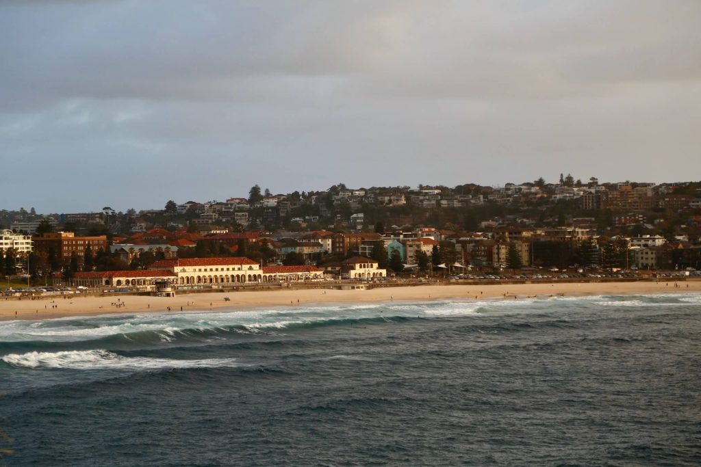
Run it or walk it, the Bondi to Coogee coastal track is a Sydney classic. If you’re entertaining interstate or overseas visitors who have time for only one walk, this is the one to take them to. Starting at Bondi Beach, the coastal walk passes Tamarama Beach, Bronte Beach, Clovelly Beach, and Gordons Bay before reaching Coogee Beach.
Location:
Sydney’s eastern beaches between Bondi and Coogee.
Distance:
6km point-to-point.
Nearest public transport:
Facilities:
Do it for:
Endless ocean views interspersed with swims at some of Sydney best beaches followed by coffee at the coastal cafes.
Circular Quay to Mrs Macquaries Point
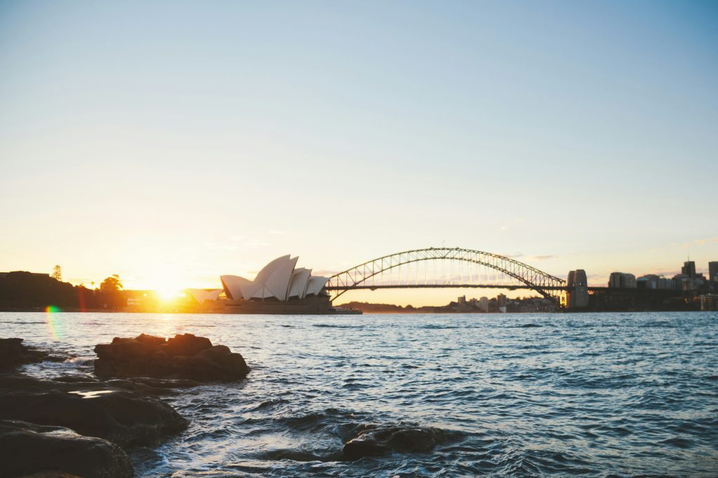
If you only have a short time in Sydney CBD but you want to spend that time well, head on down to Circular Quay for the walk around the harbour to Mrs Macquaries Point. From Mrs Macquaries Point you’ll get a view of the Sydney Opera House, Sydney Harbour Bridge, and the city skyline. It’s a particularly special view at sunrise and sunset. The walk there and back will take you through the Royal Botanic Gardens with sprawling shaded lawns perfect for harbourside picnics. When you make your way back around to Circular Quay, you might like to toast your walk with a drink at Opera Bar while enjoying views of the Sydney Harbour Bridge and the ferries as they come and go from Circular Quay.
Location:
Circular Quay and the Royal Botanic Garden Sydney.
Distance:
4.2km return.
Nearest public transport:
Facilities:
Do it for:
The magnificent harbourside fig trees in the gardens, and one of the best vantage points from which to view the Sydney Opera House and Sydney Harbour Bridge.
Great West Walk
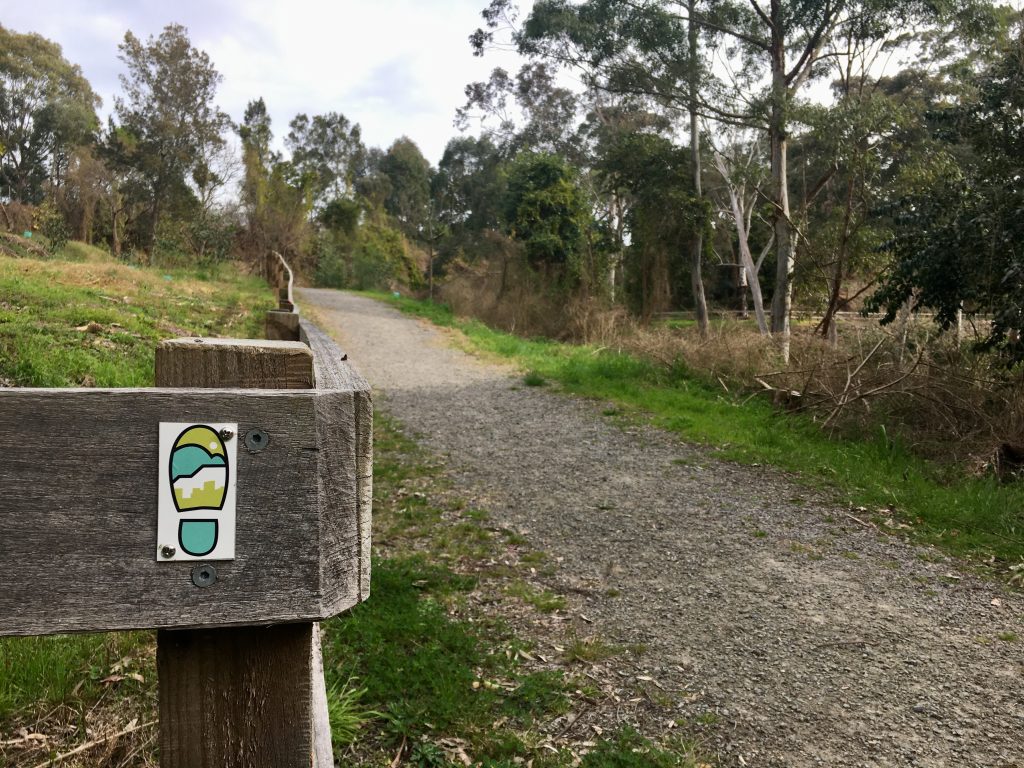
Like Bondi to Manly, this track can’t be done in a day, however, there are many sections of the track that can be completed as day walks with public transport at either end of the section. For example: Parramatta to Seven Hills, Seven Hills to Rooty Hill, Rooty Hill to Penrith, Penrith to Glenbrook, and onward up the mountains.
Location:
Sydney’s western suburbs and into the Blue Mountains.
Distance:
140km point-to-point.
Nearest public transport:
Facilities:
Do it for:
A different side of Sydney. So many of Sydney’s walking tracks are through National Parks and along the coast. The Great West Walk takes us into the western suburbs with highlights including Western Sydney Parklands and Wianamatta Regional Park.
North Ryde to Thornleigh on the Great North Walk
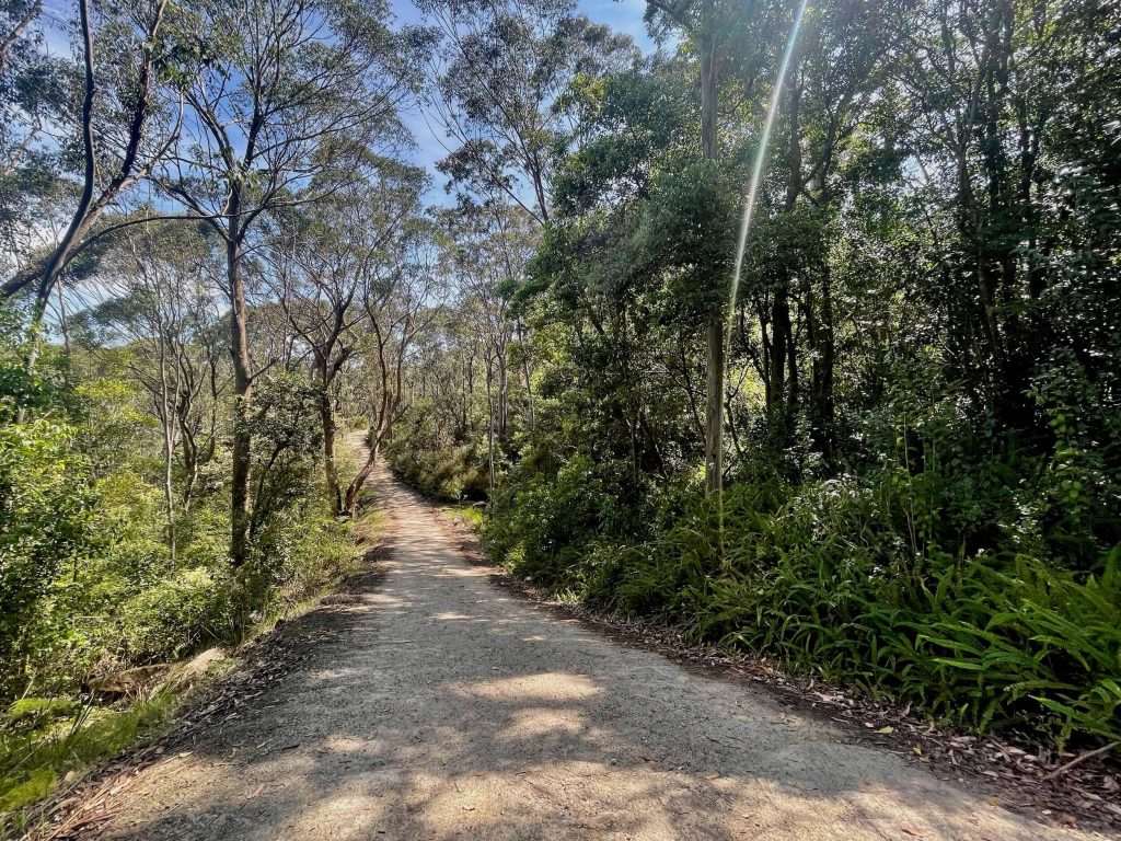
When you exit North Ryde Station to make your way down to the track, you’d be excused for feeling less than enthused about the walk. But never fear, you’ll soon be leaving the busy traffic of Delhi Road behind.
After making your way through the technology park you’ll head into the bush at a rather nondescript looking spot (if you can’t find it, put shortcut to join “Great North Walk” into Google Maps) alongside the footpath near the Honeywell building. From there, you’ll be in bushland for a route that follows the Lane Cove River through to Thornleigh.
Location:
Lane Cove National Park from North Ryde to Thornleigh.
Distance:
15-20km point-to-point.
Nearest public transport:
Facilities:
Do it for:
Imagining the glory years of Fairyland as you pass through the former pleasure grounds on the bank of the Lane Cove River en route to the bushland of Lane Cove National Park. Plus the joy of a meandering riverside wander through bushland while listening to birdsong (punctuated only occasionally by the sound of nearby roadways).
Thornleigh to Hornsby on the Great North Walk
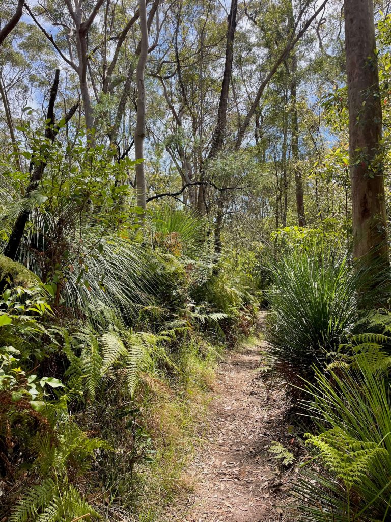
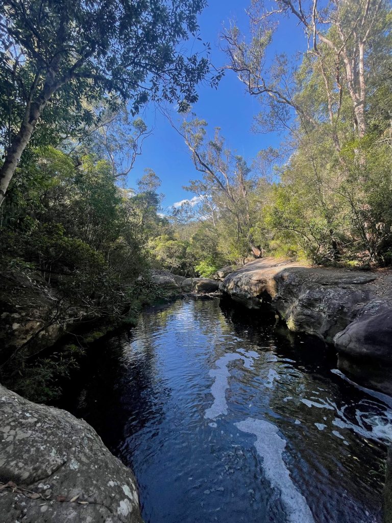
This train station to train station walk is a beauty. After a short walk through the streets of Thornleigh you’ll drop into Berowra Valley Regional Park. It’s just you and the birds out here so you’ll need to carry plenty of water, and be sure to save some for the steep climb up the Hornsby Heritage Steps as you near the end. On this walk you’ll enjoy shaded bushland, rocky boulders, and Berowra Creek.
Location:
Berowra Valley Regional Park.
Distance:
12km point-to-point.
Nearest public transport:
Facilities:
Do it for:
The peace and quiet as you walk through the Blue Gum loop that forms part of this track at the Hornsby end, and the walk alongside Berowra Creek.
Mount Kuring-gai to Berowra on the Great North Walk
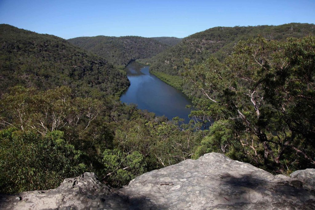
The walk between Mount Kuring-gai and Berowra follows a scenic section of the Great North Walk (a 260km walk between Sydney and Newcastle). You’ll follow the Lyrebird Gully track into the valley and then walk alongside Calna Creek before reaching Berowra Creek. You can do this walk in either direction.
Location:
Berowra Valley National Park.
Distance:
10km point-to-point.
Nearest public transport:
Facilities:
Do it for:
The walk alongside Lyrebird waterfall, Calna Creek, and Berowra Creek is lovely, and the short side trip to Naa Badu lookout at the Berowra end is well worthwhile. There’s a picnic table at the lookout so you can stop to take in the view.
South Head Heritage Trail
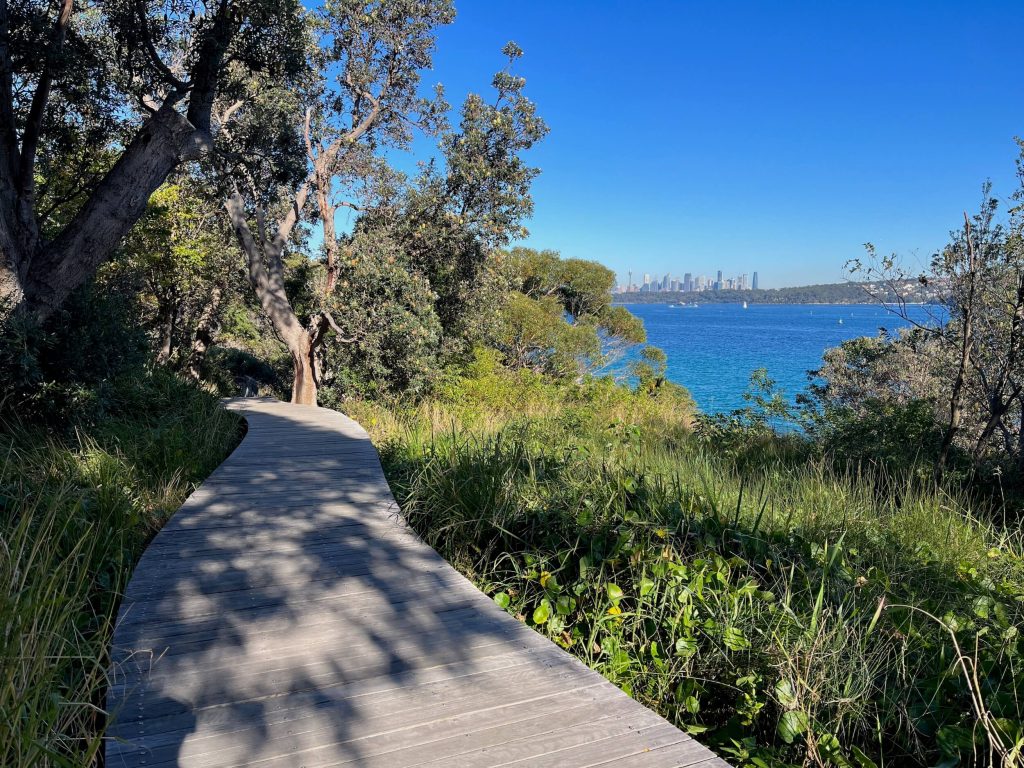
The South Head Heritage Trail is a short and scenic 1km loop around South Head near Watsons Bay. The walk passes historic gun emplacements, the secluded (clothing-optional) Lady Bay Beach, and the red and white striped Hornby Lighthouse. You’ll enjoy views across the harbour to North Head and Manly, back towards the Sydney city skyline, and out to sea.
Location:
Sydney Harbour National Park, Watsons Bay.
Distance:
3km loop (from Watsons Bay wharf).
Nearest public transport:
Facilities:
Do it for:
Sensational harbour views and a picturesque lighthouse. Follow your walk with a dip in the harbour at Camp Cove and some fish and chips from Doyles before taking the ferry back to Sydney CBD.
Fairfax Walk at North Head
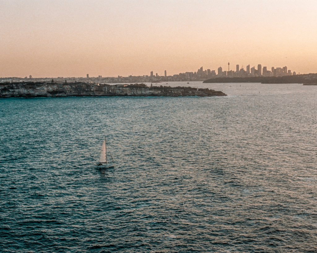
Whether you want a short walk that over-delivers on scenic views, or a longer walk around the harbour and escarpment, you’ll find it at North Head near Manly. From Manly Wharf you can take the 161 bus up to North Head to join the 1km Fairfax Walk loop track, or you can turn your walk into a longer excursion by walking from the wharf, via Little Manly Beach and more of North Head. If you do that and would prefer not to return the way you came, you can loop back down around the ocean side of North Head and return via Shelly Beach and Manly Beach, making your way along The Corso back to Manly Wharf to end.
Location:
Sydney Harbour National Park, Manly.
Distance:
Nearest public transport:
Facilities:
Do it for:
The epic views across Sydney Harbour to the Sydney city skyline.
The Coast Track in Royal National Park
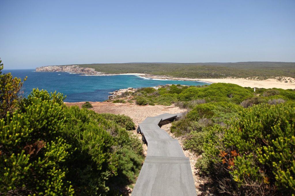
The Coast Track can be completed over one long day hike for fit and experienced walkers. You can also shorten the walk by walking into Wedding Cake Rock, Marley Beach, or Wattamolla, and returning to Bundeena the way you came. This scenic track follows the coast between Bundeena and Otford passing by beaches including Marley, Wattamolla, and Garie.
Location:
Royal National Park.
Distance:
28km point-to-point.
Nearest public transport:
Facilities:
Do it for:
The cute ferry ride from Cronulla to Bundeena (doesn’t accept Opal card), the sheer escarpments with endless ocean views, the historic coastal shacks, and the shaded approach to Otford Station via Werrong lookout after having climbed up and out of Palm Jungle.
Bonus: Blue Mountains Hikes Near Public Transport
Now, Blue Mountains’ locals will be quick to tell you the mountains isn’t in Sydney, but no guide to hiking in Sydney is complete without mentioning a day trip to Katoomba.
The Blue Mountains are just a couple of hours out of central Sydney and home to some of the best scenic walking tracks Australia has to offer. And, you may have guessed it, you can get there with the tap of your Opal Card.
Echo Point to Katoomba Falls
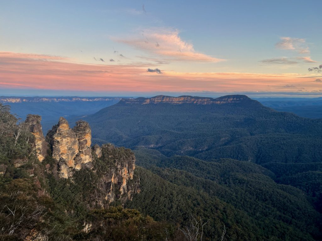
This short walk in Katoomba is a bit of a Blue Mountains highlight reel. It starts at Echo Point near the Three Sisters and then passes though scenic bushland with lots of picture-perfect lookouts and valley views through to Katoomba Falls.
Location:
Katoomba and Blue Mountains National Park.
Distance:
Nearest public transport:
Facilities:
Do it for:
The iconic view of the Three Sisters and Mount Solitary and the pretty cascading waterfalls at Katoomba Falls.
Grand Cliff Top Walk
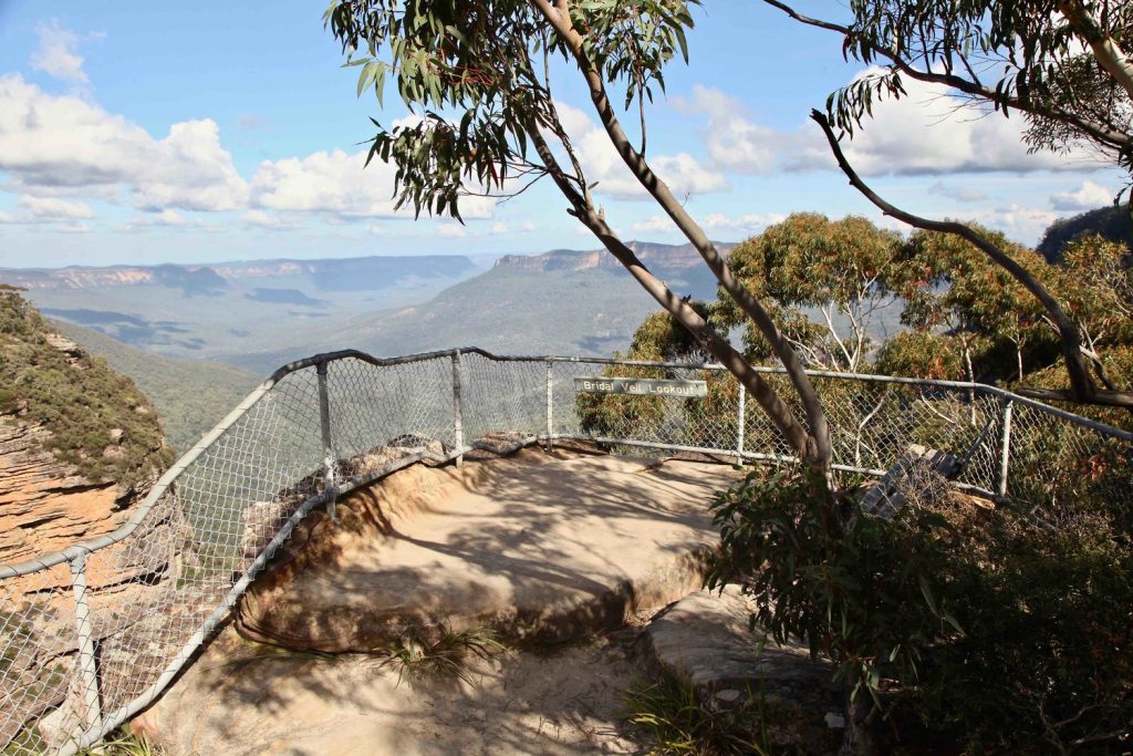
The Grand Cliff Top Walk is recommended as a two day walk by NSW National Parks, but it’s certainly possible to complete as a day walk if you have a reasonable level of fitness. With train stations at either end, this walk is accessible from central Sydney or from elsewhere in the mountains. Along the walk you’ll enjoy bushland, waterfalls, and incredible views across the valley.
Location:
Wentworth Falls, Leura, and Katoomba in Blue Mountains National Park.
Distance:
19km point-to-point.
Nearest public transport:
Facilities:
Do it for:
The sort of mountain views people travel from across Australia and around the world to see. This is a great way to see some of the Blue Mountains’ best sights.
Hanging Rock
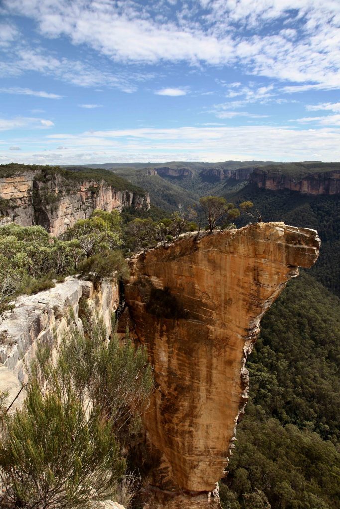
Baltzer Lookout — which offers a view of the Blue Mountains’ iconic Hanging Rock and the Grose valley wilderness — is accessed via the Burramoko Ridge trail at Blackheath.
Location:
Burramoko trail, Blackheath, Blue Mountains National Park.
Distance:
14km return.
Nearest public transport:
Facilities:
Do it for:
The view of Hanging Rock and across the Grose Valley wilderness, and a bit of peace and quiet at the lookout.


One Comment