The 7 Bridges Walk in Sydney provides a unique perspective from which to observe the city while looping a scenic section of Sydney Harbour.
As the name suggests, this urban walk crosses seven of Sydney’s bridges: the Pyrmont Bridge, Anzac Bridge, Iron Cove Bridge, Gladesville Bridge, Tarban Creek Bridge, Fig Tree Bridge, and the Sydney Harbour Bridge.
On this walk you’ll enjoy views of Sydney Harbour from multiple vantage points as you cross bridges over Cockle Bay, the Parramatta River, Blackwattle Bay, Tarban Creek, and the Lane Cove River.
| Distance: | 26km |
| Start: | Loop, start at any point |
| End: | Loop, end at any point |
| Public Transport: | Bus and ferry at various points including Circular Quay |
| Water: | Various points throughout the walk |
| Toilets: | Various points throughout the walk |
| Top Tip: | Time your walk to end with a stroll across the Sydney Harbour Bridge at sunset. |
Sydney 7 Bridges Walk Overview
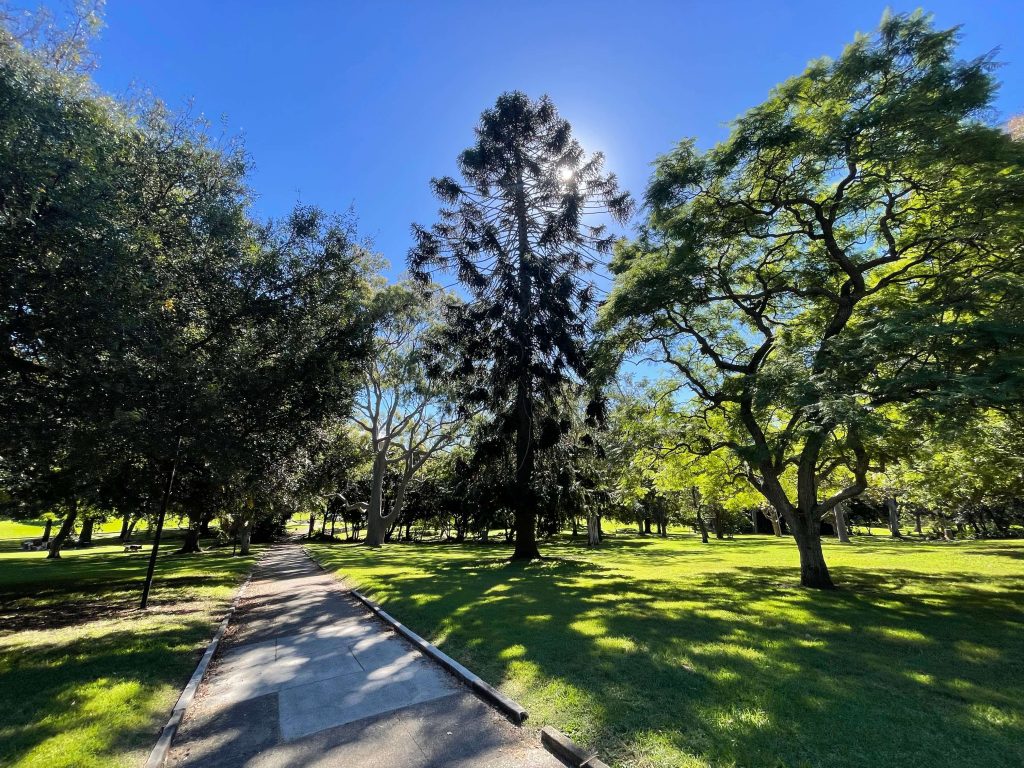
The 7 Bridges Walk is an urban walk that traverses residential areas of Sydney as well as waterfront parks and reserves.
Because the 7 Bridges Walk is a loop, you can start and end your walk at any point.
One route to consider for the 7 Bridges Walk is clockwise starting and ending around Observatory Hill Park in Millers Point, close to Circular Quay.
The benefit of this route is that Observatory Hill Park is centrally located with parking and public transport options close by. This route also allows you to complete the loop with a walk across the Sydney Harbour Bridge to end.
If you’d prefer to start your walk crossing the Sydney Harbour Bridge, you could make Milsons Point your departure point, joining at Bridge Stairs on Broughton St.
Facilities
As an urban walk, you’re never far from whatever you need when walking the 7 Bridges route. Whether you want a cuppa, a lunch stop, to refill your water bottle, pick up a Gatorade, or find a bathroom, there’s plenty of places along the way.
Cafes
Some places you’ll find cafes and shops to pick up food and drink while doing the 7 Bridges Walk:
Drinking Water
There’s plenty of opportunities to refill your water bottle on the 7 Bridges Walk in Sydney. Some of the places where drinking water is available either from a bubbler or drinking water station include:
In addition to these places, there are many shops you pass close by where you can purchase water or other cool drinks.
Toilets
There are public toilets at most of the parks and beaches on the 7 Bridges Walk in Sydney. Some of the locations you’ll find public toilets along the 7 Bridges Walk route include:
How to get to the 7 Bridges Walk
Public Transport
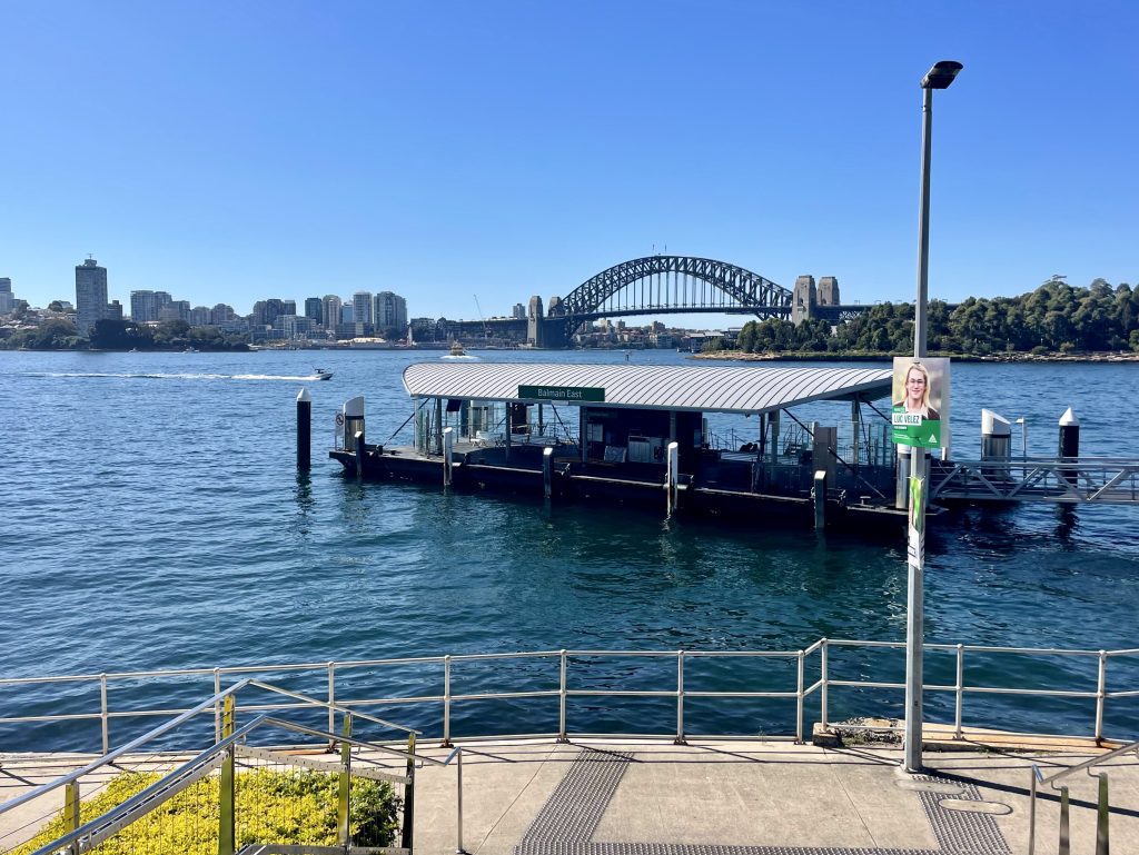
If you’re starting your walk somewhere close to the Sydney Harbour Bridge, you have plenty of public transport options including trains and ferries to get to both Milsons Point and Circular Quay.
Driving
If you’re driving to start your 7 Bridges Walk near the Sydney Harbour Bridge, you’ll find paid parking stations at Luna Park on the Milsons Point side of the bridge, and at various locations around Circular Quay.
Highlights of Sydney’s 7 Bridges Walk
The 7 Bridges Walk is a loop track around a section of Sydney Harbour crossing seven of the city’s bridges.

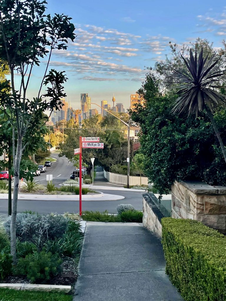
This is an urban walk that offers up a mix of Sydney scenery: it takes you through residential streets, over busy multi-lane bridges, passing by harbourside parks, and close by some areas of bushland too.
Let’s take a look at the seven bridges that give this walk its name…
Pyrmont Bridge
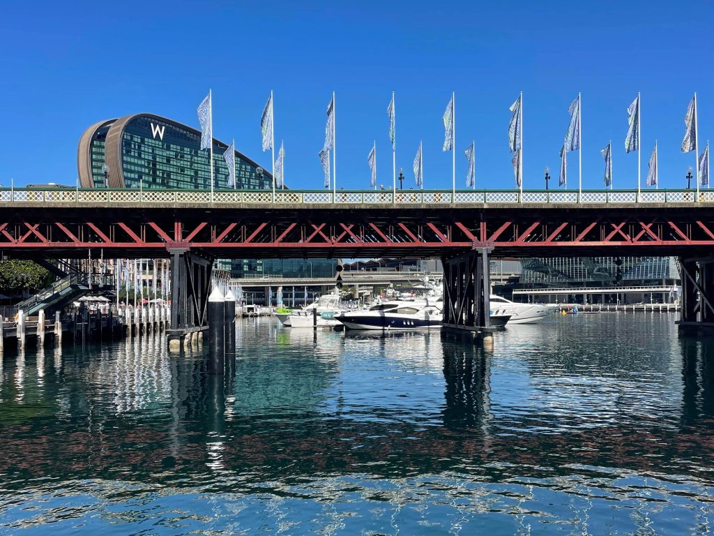
The Pyrmont Bridge was opened in 1902 to allow cars, new to Sydney at the time, to cross Cockle Bay. The now heritage-listed bridge took almost 3 years to build. The bridge is known as a ‘swing bridge’ because of the way its span ‘swings’ open to allow tall vessels to pass through.
The Pyrmont Bridge was closed to vehicles in the early 1980s when the Western Distributor allowed traffic to instead pass around Darling Harbour.
The Pyrmont Bridge was saved from demolition and reopened to pedestrians in the late 1980s. At this time the bridge was modified to allow the Sydney Monorail to pass overhead, and so it did until its closure in 2013. Today, the bridge is a popular pedestrian bridge connecting Sydney CBD and Pyrmont via Darling Harbour.
Fun fact: the Pyrmont Bridge that was opened in 1902 and remains in place today is actually the second iteration of the Pyrmont Bridge. It was preceded by the original wooden Pyrmont Bridge, opened in 1858.
Anzac Bridge
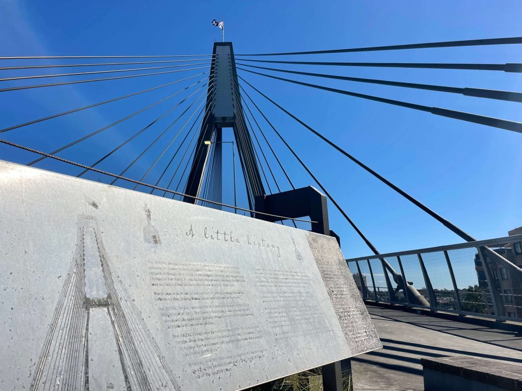
Having been opened in 1995, the Anzac Bridge is a much newer-bridge than the Pyrmont Bridge. When it first opened, it was known as Glebe Island Bridge, built to replace the original Glebe Island Bridge (which you can still spot alongside the Anzac Bridge today, its swing span permanently open for boats to pass by).
The original Glebe Island Bridge is a swing bridge, meaning that traffic was interrupted each time the bridge opened to allow boats to pass. The Anzac Bridge is a much-taller cable-stayed structure that allows traffic and boats to pass simultaneously.
To safely walk across the Anzac Bridge there is a shared pedestrian and cycleway alongside (but separated from) the eight traffic lanes. The constant flow of traffic ensures this bridge crossing is a very urban Sydney experience… serenity doesn’t live here.
Fun fact: if you grew up in late 1990s / early 2000s Australia, you may remember the Anzac Bridge’s cameo in Looking for Alibrandi, when Josie catches a ride home with Jacob on the back of his motorbike and the pair ride across the bridge.
Iron Cove Bridge
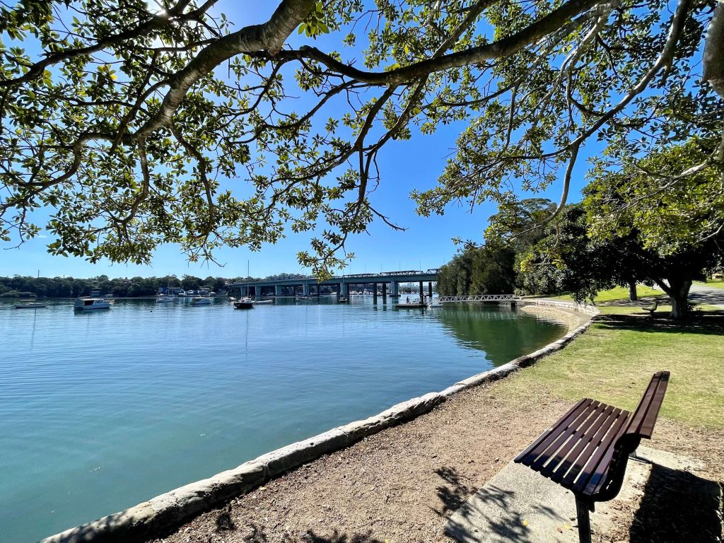
Next up is the Iron Cove Bridge which connects Rozelle and Drummoyne. The original Iron Cove Bridge was opened in 1882. The Sydney Morning Herald remarked at the time of its opening that the bridge was “one of the finest structures of the kind in the colony”.
In 1955, the original bridge was replaced with a steel truss bridge designed to facilitate the increased traffic using the bridge. In 2011, a ‘duplicate’ bridge was opened right alongside the steel truss bridge.
The 2011 bridge includes a wide shared path for pedestrians and cyclists which today comprises a section of The Bay Run, and, of course, the 7 Bridges Walk.
Fun fact: the movement of pedestrians and public transport was a key consideration in designing the 2011 bridge. The Iron Cove Bridge has the widest pedestrian path of all the bridges on the 7 Bridges Walk.
Gladesville Bridge
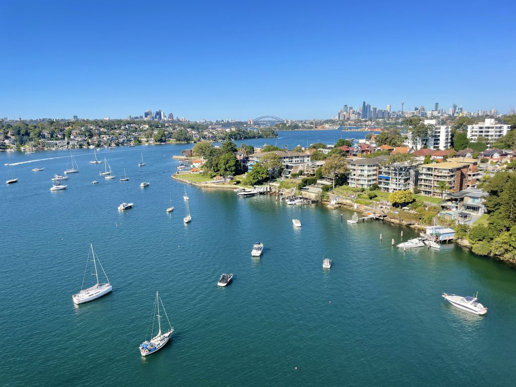
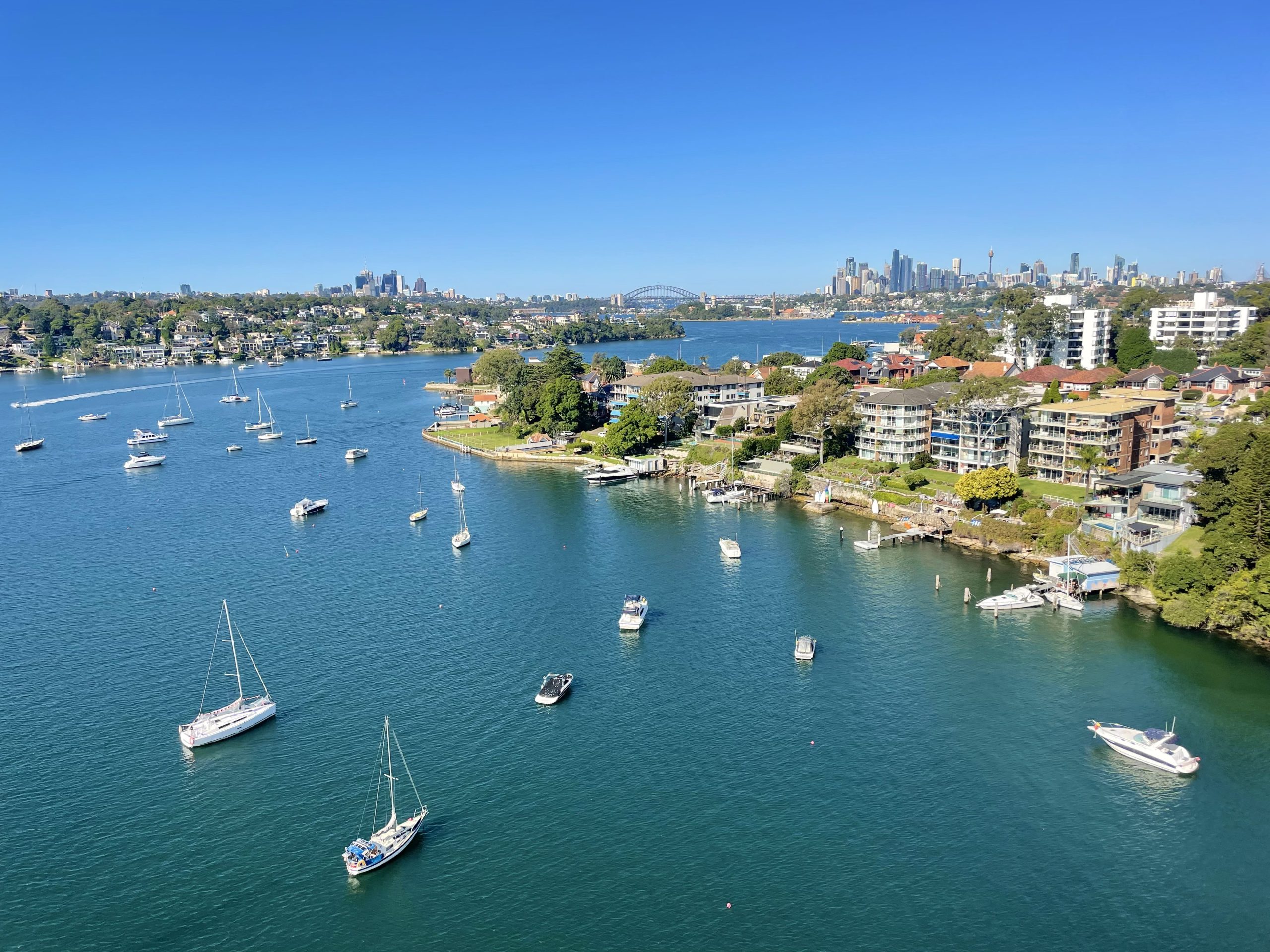
Walking over the Gladesville Bridge you’ll have multiple busy lanes of traffic to your left, and, to your right, an expansive view of boats bobbing on the Parramatta River set against a backdrop of the Sydney city skyline in the distance.
The original Gladesville Bridge, connecting Drummoyne and Gladesville, opened in 1881. It was a wrought iron lattice truss bridge featuring two traffic lanes, one in each direction. Part of the original bridge had a swing section which would open to allow tall boats and ships to pass.
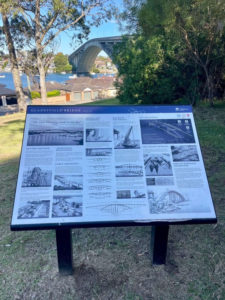
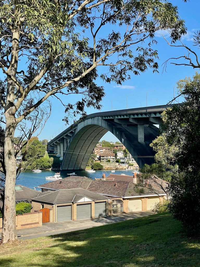
In order to facilitate the rise in vehicle traffic, a new Gladesville Bridge was opened in 1964. A tall and long concrete arch bridge, this iteration of the Gladesville Bridge opened with six lanes of traffic and sufficient clearance over the river that boats could pass with no interruption to the flow of traffic on the bridge.
Fun fact: in the 1970s, the pedestrian walkways across the Gladesville Bridge were narrowed so an additional vehicle lane could be added to the bridge. You’ll notice the marked difference in experience as a pedestrian on the Iron Cove Bridge, where pedestrians were prioritised in the design of the new bridge.
Tarban Creek Bridge
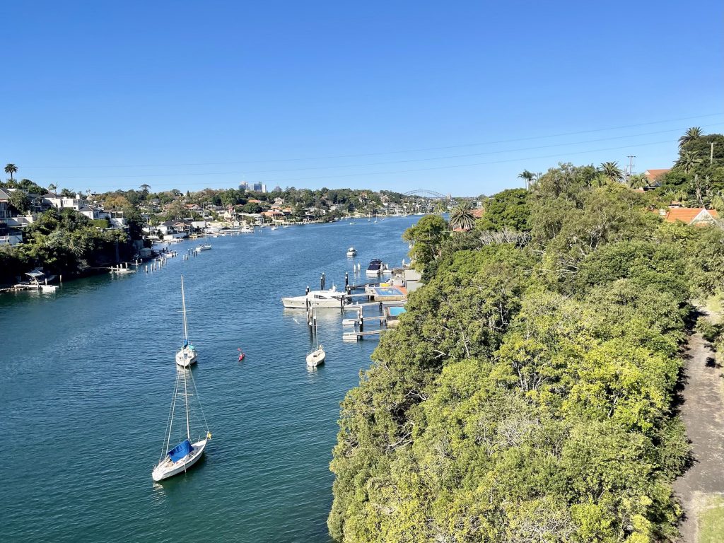
The next bridge on the 7 Bridges Walk is the Tarban Creek Bridge which connects Huntleys Point and Hunters Hill.
The bridge allows for the flow of vehicle and pedestrian traffic across Tarban Creek (a waterway that connects with the Parramatta River).
The Tarban Creek Bridge opened in 1965, not long after the Gladesville Bridge. Like the Gladesville Bridge, the Tarban Creek Bridge is also a concrete arch bridge, albeit smaller in length, width, and height.
Fig Tree Bridge
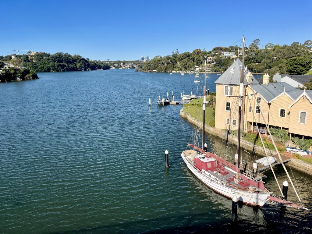
Not far off the Tarban Creek Bridge you’ll come to the Fig Tree Bridge. The Fig Tree Bridge crosses the Lane Cove River, connecting Hunters Hill and Linley Point.
The original Fig Tree Bridge opened in 1885, just a few years after the original Iron Cove and Gladesville bridges. The Fig Tree Bridge’s original iron truss swing bridge construction was replaced by a concrete bridge in 1963, which was around the same time as the Tarban Creek Bridge and replacement Gladesville Bridge.
The narrow pedestrian way on the Fig Tree Bridge provides a view out over the Lane Cove River as you pass across.
Sydney Harbour Bridge
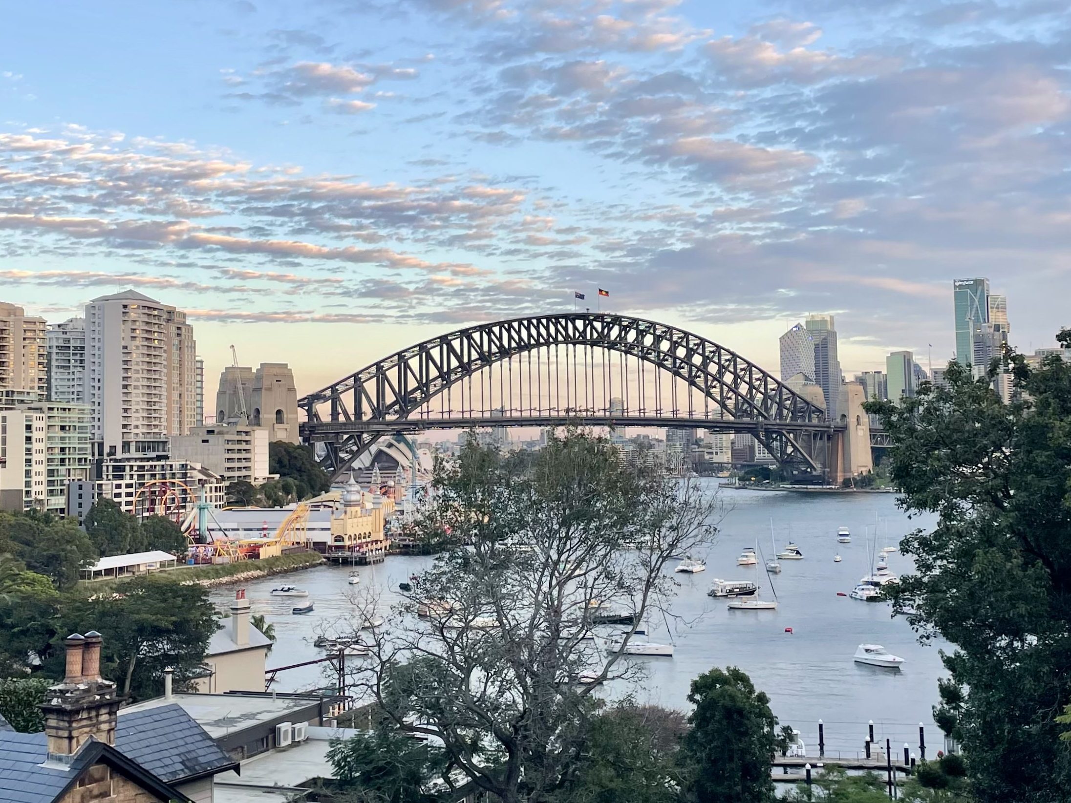
The most iconic of Sydney’s Bridges is the Sydney Harbour Bridge. The focal point of Sydney’s annual New Year’s Eve celebratory fireworks, the star of countless picture postcards, and if you walk the 7 Bridges Walk as a clockwise loop starting with the Pyrmont Bridge, the grand finale of your walk.
The Sydney Harbour Bridge connects Sydney’s CBD with the north shore. A busy bridge, the Sydney Harbour Bridge has eight lanes for vehicle traffic, as well a railway line, a pedestrian footpath, and a cycleway.
The Sydney Harbour Bridge opened in 1932. While many consider it a unique Australian landmark, if you’ve ever been to New York City, you may have done a double take when encountering Hell Gate Bridge. Opened in 1917, the Hell Gate Bridge provided inspiration for the design of the Sydney Harbour Bridge.
Fun fact: There were many different designs proposed during planning for a bridge across Sydney Harbour. One that would have changed the face of Sydney Harbour and the disbursement of traffic throughout the city is the three-way bridge proposed by Ernest Stowe.
It featured a tower in its centre, on Goat Island (Me-mel) which Stowe proposed renaming as ‘Anzac Isle’. From its central pier, this bridge would span in three directions: to Balmain in the inner west, Balls Head on the north shore, and Millers Point on the edge of the CBD.
And there you have it. The 7 Bridges Walk is not only a scenic harbour loop, but an opportunity to discover some of the ways Sydney adapted to its growing population. The history of each bridge provides its own insights into the way we’ve moved between the city and the suburbs.
Whether you care for stories of Sydney’s sprawl, or simply want to pound the pavement while taking in harbour views, this route makes for a great urban walk.
FAQs
How long is the 7 Bridges Walk in Sydney?
The 7 Bridges Walk is approximately 26km.
Which seven bridges does the walk pass?
The 7 Bridges Walk in Sydney crosses the Pyrmont Bridge, Anzac Bridge, Iron Cove Bridge, Gladesville Bridge, Tarban Creek Bridge, Fig Tree Bridge, and the Sydney Harbour Bridge.
When is the 7 Bridges charity walk in Sydney?
Each year the Cancer Council host a 7 Bridges charity walk to raise funds for cancer research and support services. You can learn more about the 7 Bridges charity walk and donate to the Cancer Council here.
Where can I find a map of the 7 Bridges Walk in Sydney?
AllTrails has a map of the 7 Bridges Walk. This route is an urban walk that is not signposted so you will need to refer to the map as you make your way. When you download the AllTrails app to your phone, you can use the map to navigate the 7 Bridges Walk route as you walk.

One Comment